3D lane geometry for TomTom Orbis Maps

New development uses AI, including fundamental vision models
By Adam Hill January 7, 2025 Read time: 1 min
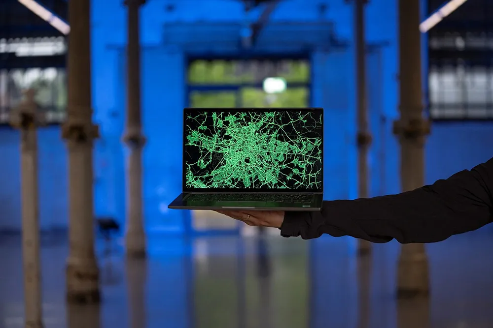
ADAS requires lane-level maps for reliability and safety (image: TomTom)

Location information provider TomTom has expanded lane geometry data on its Orbis Maps.

The maps now offer "lane-level precision that is measured in centimetres, available on a global scale and continuously refreshed", it says.

Mike Schoofs, the company's chief revenue officer, says the move marks a "transformative step in mapping technology".

Using AI, including fundamental vision models, TomTom Orbis Maps can now produce 3D lane geometry for any road type, by merging crowdsourced observations from production vehicles and dashcams, aerial and satellite imagery and Lidar survey data.

Advanced driver assistance systems (ADAS) rely on lane-level maps for reliability and safety, TomTom says, and the new maps can offer accurate delineation of road surfaces and painted lines, and combine 3D traffic signs with insights into driver movements and behaviour.

This "enables navigation in complex urban environments through better anticipation of tricky situations, such as busy intersections, high-speed junctions, and interactions with vulnerable road users", the company suggests.

It can also help last-mile logistics by enabling transport companies to optimise pick-up and drop-off processes.

"Urban planners also benefit from greater granularity in map data, which helps them make informed decisions on lane-level traffic management, bike lane and public transport planning, and parking space optimisation," TomTom says.

For more information on companies in this article

Related Content

  • London Borough deploys unattended CCTV enforcement
    February 17, 2016
    The London Borough of Barnet has awarded OpenView Security Solutions a contract to supply and maintain CCTV cameras and software for the unattended enforcement of moving traffic contraventions. The Videalert-based platform will initially be used to enforce a range of moving traffic contraventions at more than 20 locations as well as being deployed outside 32 schools to increase road safety for children across the borough. Chairman of Barnet Council’s Environment Committee, Dean Cohen, said: “The int
  • New model generation with PTV’s Model2Go
    August 8, 2022
    PTV Group has launched a product which automates much of the painstaking business of building transport models. Adam Hill talks to the company’s Udo Heidl and Ben Stabler to find out more
  • Ports are facing a digital sea-change
    March 24, 2021
    Next-generation cellular will revolutionise the ports and maritime sector. Its arrival is just in time, as the industry faces a variety of challenges which require new technological solutions
  • Sensys & Verizon partner on intersections
    June 6, 2018
    Sensys Networks is here at ITS America Detroit to highlight solutions to address intersection safety - 40% of crashes, 50% of serious collisions, and 20% of fatalities occur in intersections. Unfortunately, many cities currently rely solely on historical crash data, hardly a systematic way to analyse and manage potentially harmful traffic situations. To help increase intersection safety, Sensys Networks is automating accurate and actionable safety data, and teaming with Verizon to do so. SensTraffic, the