3D lane geometry for TomTom Orbis Maps

New development uses AI, including fundamental vision models
By Adam Hill January 7, 2025 Read time: 1 min
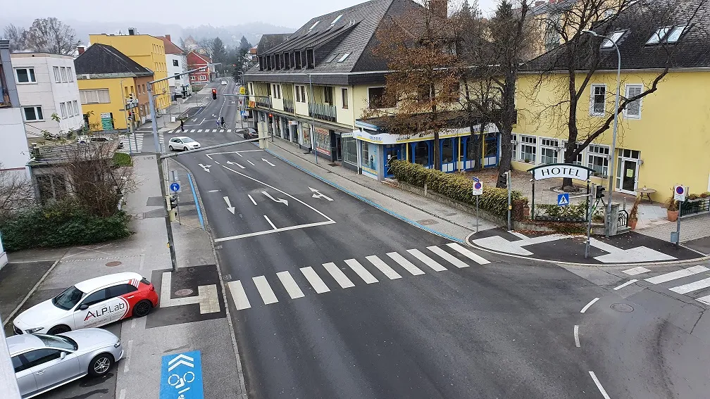
ADAS requires lane-level maps for reliability and safety (image: TomTom)

Location information provider TomTom has expanded lane geometry data on its Orbis Maps.

The maps now offer "lane-level precision that is measured in centimetres, available on a global scale and continuously refreshed", it says.

Mike Schoofs, the company's chief revenue officer, says the move marks a "transformative step in mapping technology".

Using AI, including fundamental vision models, TomTom Orbis Maps can now produce 3D lane geometry for any road type, by merging crowdsourced observations from production vehicles and dashcams, aerial and satellite imagery and Lidar survey data.

Advanced driver assistance systems (ADAS) rely on lane-level maps for reliability and safety, TomTom says, and the new maps can offer accurate delineation of road surfaces and painted lines, and combine 3D traffic signs with insights into driver movements and behaviour.

This "enables navigation in complex urban environments through better anticipation of tricky situations, such as busy intersections, high-speed junctions, and interactions with vulnerable road users", the company suggests.

It can also help last-mile logistics by enabling transport companies to optimise pick-up and drop-off processes.

"Urban planners also benefit from greater granularity in map data, which helps them make informed decisions on lane-level traffic management, bike lane and public transport planning, and parking space optimisation," TomTom says.

For more information on companies in this article

Related Content

  • Flow Labs and TomTom combine on 'any given roadway'
    October 6, 2023
    New data set to simplify traffic signal optimisation and crash hot spot identification
  • Swarm data from mobile phone networks makes traffic flows more visible
    December 6, 2016
    Telecom subsidiary Motionlogic and software provider PTV Group have teamed up in a partnership in which Motionlogic provides traffic and people movement data, based on anonymised signal data from the mobile phone network. PTV Group then processes this data to provide urban transport planners with analysis that enables them to calibrate transport models and the current traffic situation and map travel demand in real time. In addition, there are also down-to-the-hour departure and arrival figures. By using
  • Ford, MIT project measures pedestrian traffic, predict demand for electric shuttles
    July 28, 2016
    Ford Motor Company and the Massachusetts Institute of Technology are collaborating on a new research project that measures how pedestrians move in urban areas to improve certain public transportation services, such as ride-hailing and point-to-point shuttles services. The project will introduce a fleet of on-demand electric vehicle shuttles that operate on both city roads and campus walkways on the university’s campus. The vehicles use LiDAR sensors and cameras to measure pedestrian flow, which ultimate
  • Cepton Lidars deployed in Austria
    February 26, 2021
    Partnership with local test alliance ALP.Lab will create real-life, complex traffic data