3D lane geometry for TomTom Orbis Maps

New development uses AI, including fundamental vision models
By Adam Hill January 7, 2025 Read time: 1 min
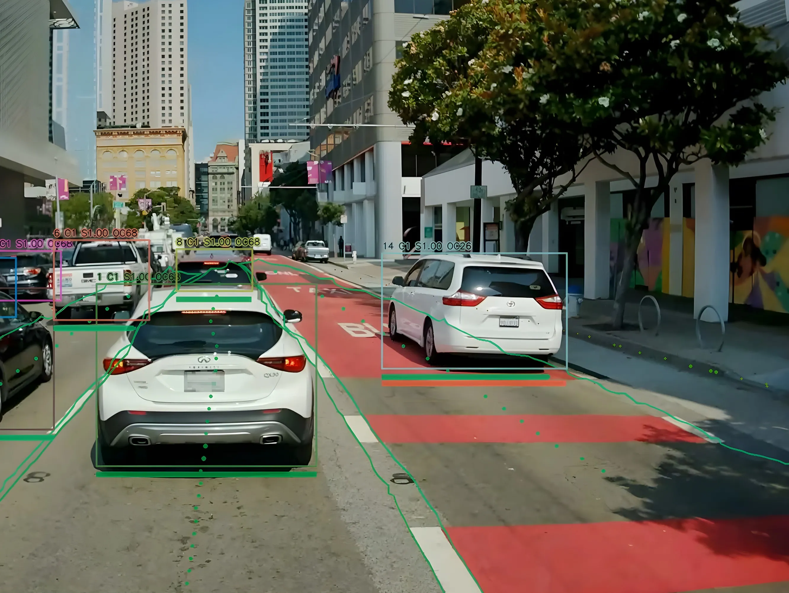
ADAS requires lane-level maps for reliability and safety (image: TomTom)

Location information provider TomTom has expanded lane geometry data on its Orbis Maps.

The maps now offer "lane-level precision that is measured in centimetres, available on a global scale and continuously refreshed", it says.

Mike Schoofs, the company's chief revenue officer, says the move marks a "transformative step in mapping technology".

Using AI, including fundamental vision models, TomTom Orbis Maps can now produce 3D lane geometry for any road type, by merging crowdsourced observations from production vehicles and dashcams, aerial and satellite imagery and Lidar survey data.

Advanced driver assistance systems (ADAS) rely on lane-level maps for reliability and safety, TomTom says, and the new maps can offer accurate delineation of road surfaces and painted lines, and combine 3D traffic signs with insights into driver movements and behaviour.

This "enables navigation in complex urban environments through better anticipation of tricky situations, such as busy intersections, high-speed junctions, and interactions with vulnerable road users", the company suggests.

It can also help last-mile logistics by enabling transport companies to optimise pick-up and drop-off processes.

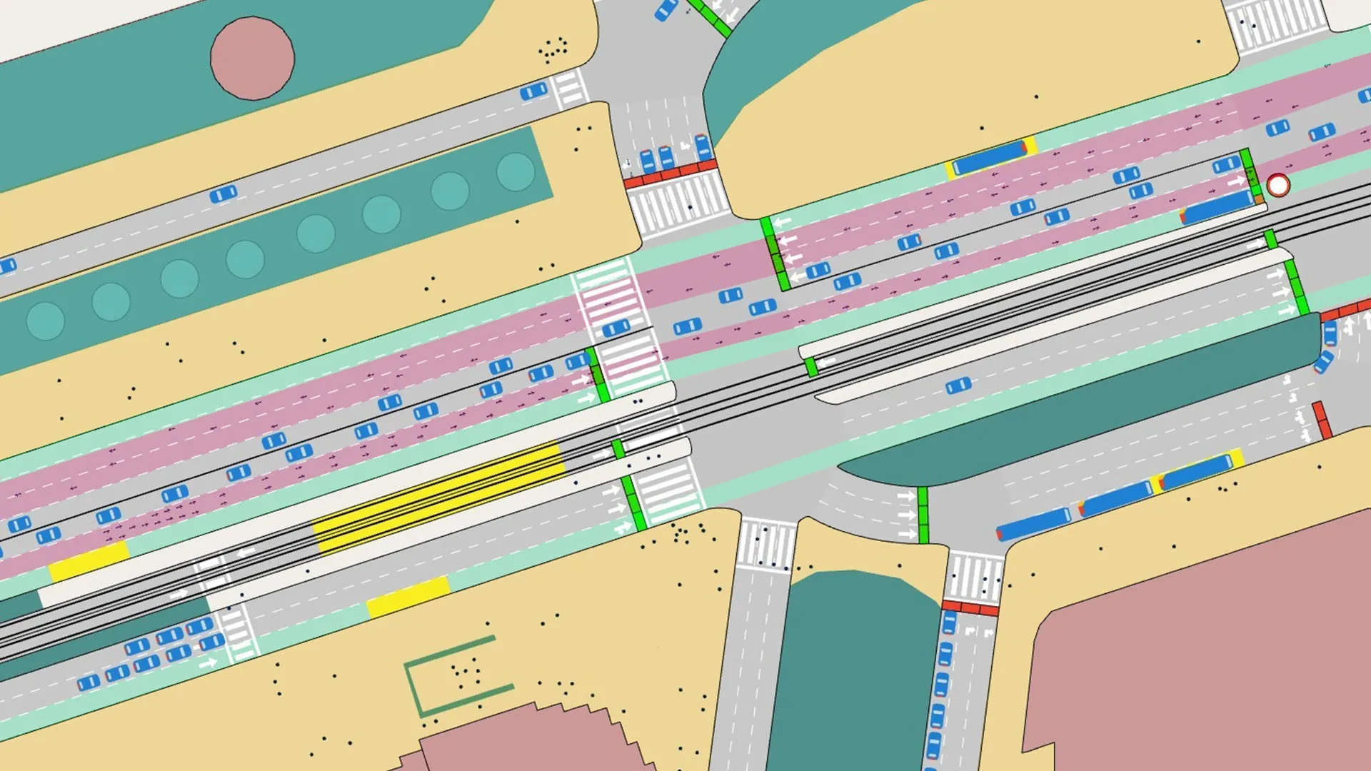
"Urban planners also benefit from greater granularity in map data, which helps them make informed decisions on lane-level traffic management, bike lane and public transport planning, and parking space optimisation," TomTom says.

For more information on companies in this article

Related Content

  • Hayden AI & Snapper Services keep their eyes on the road
    August 29, 2024
    Snapper Services CEO Miki Szikszai and Chris Carson, CEO of Hayden AI, tell Adam Hill about synergy and partnership – and how to make use of data once you’ve gathered it
  • After two decades of research, ITS is getting into its stride
    June 4, 2015
    Colin Sowman gets the global view on how ITS has shaped the way we travel today and what will shape the way we travel tomorrow. Over the past two decades the scope and spread of intelligent transport systems has grown and diversified to encompass all modes of travel while at the same time integrating and consolidating. Two decades ago the idea of detecting cyclists or pedestrians may have been considered impossible and why would you want to do that anyway? Today cyclists can account for a significant propor
  • From paved roads to data highways
    December 19, 2024
    The vehicles of the future are coming; and with them, so are the cities of the future. But only if cities are prepared to make the investment, suggests Yagil Tzur
  • Aimsun Next update focuses on VRUs
    July 1, 2020
    Company says it will allow planners to model pedestrian and cyclist movements post-Covid