3D lane geometry for TomTom Orbis Maps

New development uses AI, including fundamental vision models
By Adam Hill January 7, 2025 Read time: 1 min
ADAS requires lane-level maps for reliability and safety (image: TomTom)

Location information provider TomTom has expanded lane geometry data on its Orbis Maps.

The maps now offer "lane-level precision that is measured in centimetres, available on a global scale and continuously refreshed", it says.

Mike Schoofs, the company's chief revenue officer, says the move marks a "transformative step in mapping technology".

Using AI, including fundamental vision models, TomTom Orbis Maps can now produce 3D lane geometry for any road type, by merging crowdsourced observations from production vehicles and dashcams, aerial and satellite imagery and Lidar survey data.

Advanced driver assistance systems (ADAS) rely on lane-level maps for reliability and safety, TomTom says, and the new maps can offer accurate delineation of road surfaces and painted lines, and combine 3D traffic signs with insights into driver movements and behaviour.

This "enables navigation in complex urban environments through better anticipation of tricky situations, such as busy intersections, high-speed junctions, and interactions with vulnerable road users", the company suggests.

It can also help last-mile logistics by enabling transport companies to optimise pick-up and drop-off processes.

"Urban planners also benefit from greater granularity in map data, which helps them make informed decisions on lane-level traffic management, bike lane and public transport planning, and parking space optimisation," TomTom says.

For more information on companies in this article

Related Content

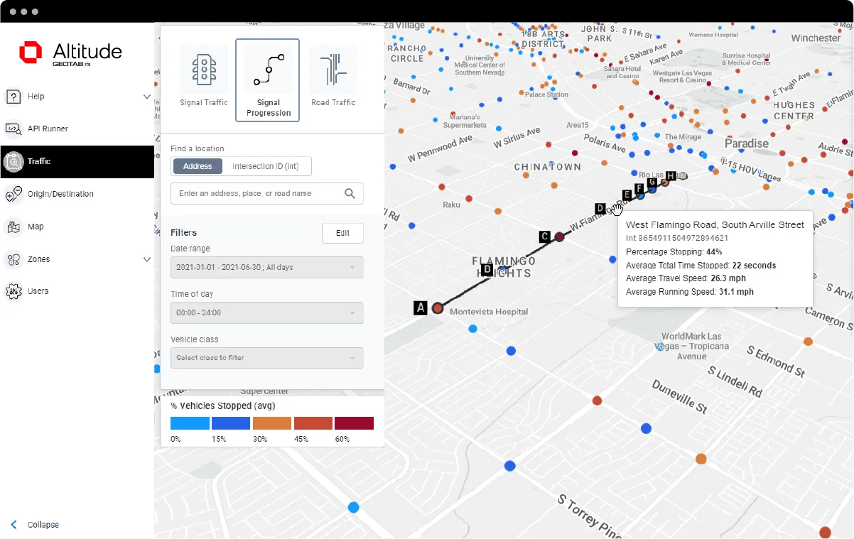
  • Geotab ITS works at Altitude
    October 4, 2021
    Altitude is expected to help gov entities identify areas for traffic improvements
  • Intertraffic Awards 2024: finalists announced
    February 2, 2024
    15 entries across three awards have been recognised for their innovation in mobility
  • Autonomous truck platooning moves up a gear with NXP and DAF Trucks
    November 25, 2016
    NXP Semiconductors is setting the pace in truck platooning with full-size commercial vehicles that can run at 80kmph only 11 metres apart, offering up to 11 per cent in fuel savings. The Dutch technology company believes that “there’s no better place than truck platooning to demonstrate the merits of autonomous driving.” Its research team has been working with DAF Trucks to develop leading edge technology that can make driving decisions ‘30 times faster than human reaction time’. NXP says that adapt
  • ITS European Congress: safer and cleaner mobility
    August 6, 2019
    Smart mobility and the increasing digitalisation of transport were among the main themes of this year’s ITS European Congress in the Netherlands. Ben Spencer picks some highlights from conference sessions which considered possible future developments Navigating between the Evoluon conference centre - a former science museum that resembles a giant-sized UFO - and an automotive campus, there was a lot to see at the 13th ITS European Congress in Brainport, Eindhoven. Organised by Ertico – ITS Europe and th