South Africa’s Western Cape province has revealed plans to deploy technology – satellite trackers in all public transport vehicles, ANPR built into freeway cameras, and cameras at level crossings – in an attempt to reduce road deaths, according to a report by Independent Newspapers.
South Africa’s Western Cape province has revealed plans to deploy technology – satellite trackers in all public transport vehicles, ANPR built into freeway cameras, and cameras at level crossings – in an attempt to reduce road deaths, according to a report by Independent Newspapers.
“Minister Carlisle said at the beginning of his term he would use any legal means to reduce the carnage on the roads. So we are looking at any initiative that has road safety value,” Transport MEC Robin Carlisle’s office is quoted as saying. “The range of available closed-circuit television cameras and satellite tracking systems has matured significantly, so we need to harness these to the benefit of all South Africans.”
The aim is to place tracking devices in all public transport vehicles by the beginning of to increase road safety through enhanced monitoring of driver behaviour and traffic law enforcement. Operators will also able to monitor what their employees are doing and how they are driving.
"While speeding and other reckless behaviour will be greatly curtailed by the devices, it is also expected that dispute resolution over route invasions and other behaviour which disrupts the taxi industry will be greatly improved,” Carlisle’s office said.
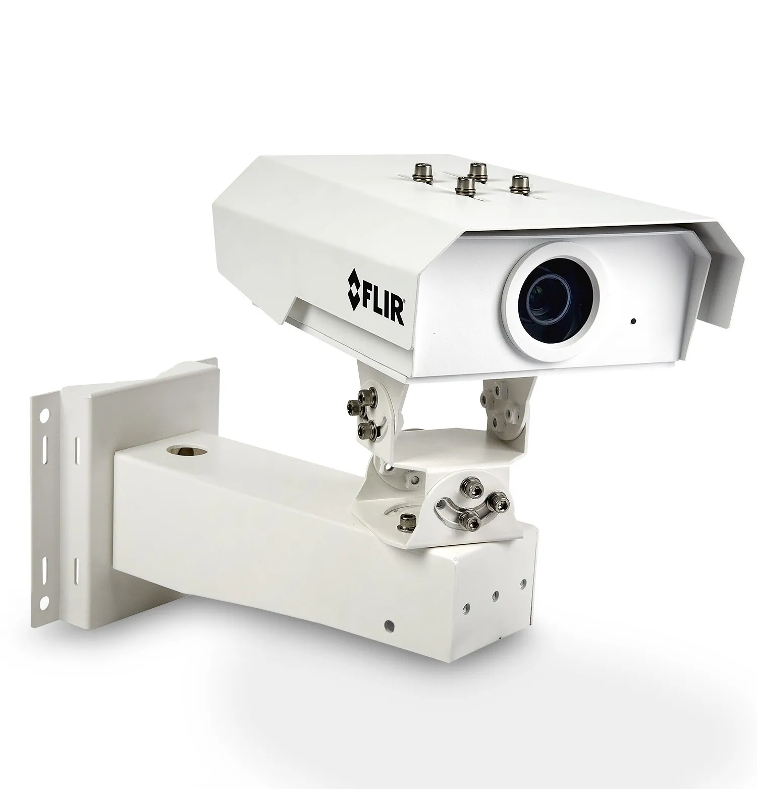
In another initiative, the SA National Roads Agency (2161 SANRAL), the province and the city of Cape Town plan to enter into a joint contract with a consortium to operate and maintain an enhanced Freeway Management System (FMS). The current state of the art monitors the entire N1, N2, R300 network and part of the N7.
“Improvements will see public information greatly enhanced, including access to live feeds from the system via the web. Integrating a rejuvenated N2 BMT (Bus and Minibus Taxi) system into the FMS is coming in May 2013, while talks are ongoing regarding roll-out of automatic number plate recognition on the network,” Carlisle’s office is quoted as saying.
This would allow speed-over-distance enforcement on a large scale, and automatically detect unroadworthy, unregistered and stolen vehicles, as well as help law enforcement in a variety of other ways.
“All these elements, from smoother flowing traffic to improved driver behaviour, are expected to have significant impacts on road deaths on the road network, which will also be expanded to integrate feeder routes,” Carlisle’s office said.
The department plans to install camera systems at all level crossings, as well installing proper traffic lights, to leave drivers in no doubt as to when they had to stop for trains. These would replace the current system of flashing red lights. Carlisle’s office said the city’s Traffic Services, together with Metrorail, would be prosecuting offenders who failed to stop at the crossing, using camera footage as evidence.
“Minister Carlisle said at the beginning of his term he would use any legal means to reduce the carnage on the roads. So we are looking at any initiative that has road safety value,” Transport MEC Robin Carlisle’s office is quoted as saying. “The range of available closed-circuit television cameras and satellite tracking systems has matured significantly, so we need to harness these to the benefit of all South Africans.”
The aim is to place tracking devices in all public transport vehicles by the beginning of to increase road safety through enhanced monitoring of driver behaviour and traffic law enforcement. Operators will also able to monitor what their employees are doing and how they are driving.
"While speeding and other reckless behaviour will be greatly curtailed by the devices, it is also expected that dispute resolution over route invasions and other behaviour which disrupts the taxi industry will be greatly improved,” Carlisle’s office said.
In another initiative, the SA National Roads Agency (
“Improvements will see public information greatly enhanced, including access to live feeds from the system via the web. Integrating a rejuvenated N2 BMT (Bus and Minibus Taxi) system into the FMS is coming in May 2013, while talks are ongoing regarding roll-out of automatic number plate recognition on the network,” Carlisle’s office is quoted as saying.
This would allow speed-over-distance enforcement on a large scale, and automatically detect unroadworthy, unregistered and stolen vehicles, as well as help law enforcement in a variety of other ways.
“All these elements, from smoother flowing traffic to improved driver behaviour, are expected to have significant impacts on road deaths on the road network, which will also be expanded to integrate feeder routes,” Carlisle’s office said.
The department plans to install camera systems at all level crossings, as well installing proper traffic lights, to leave drivers in no doubt as to when they had to stop for trains. These would replace the current system of flashing red lights. Carlisle’s office said the city’s Traffic Services, together with Metrorail, would be prosecuting offenders who failed to stop at the crossing, using camera footage as evidence.