
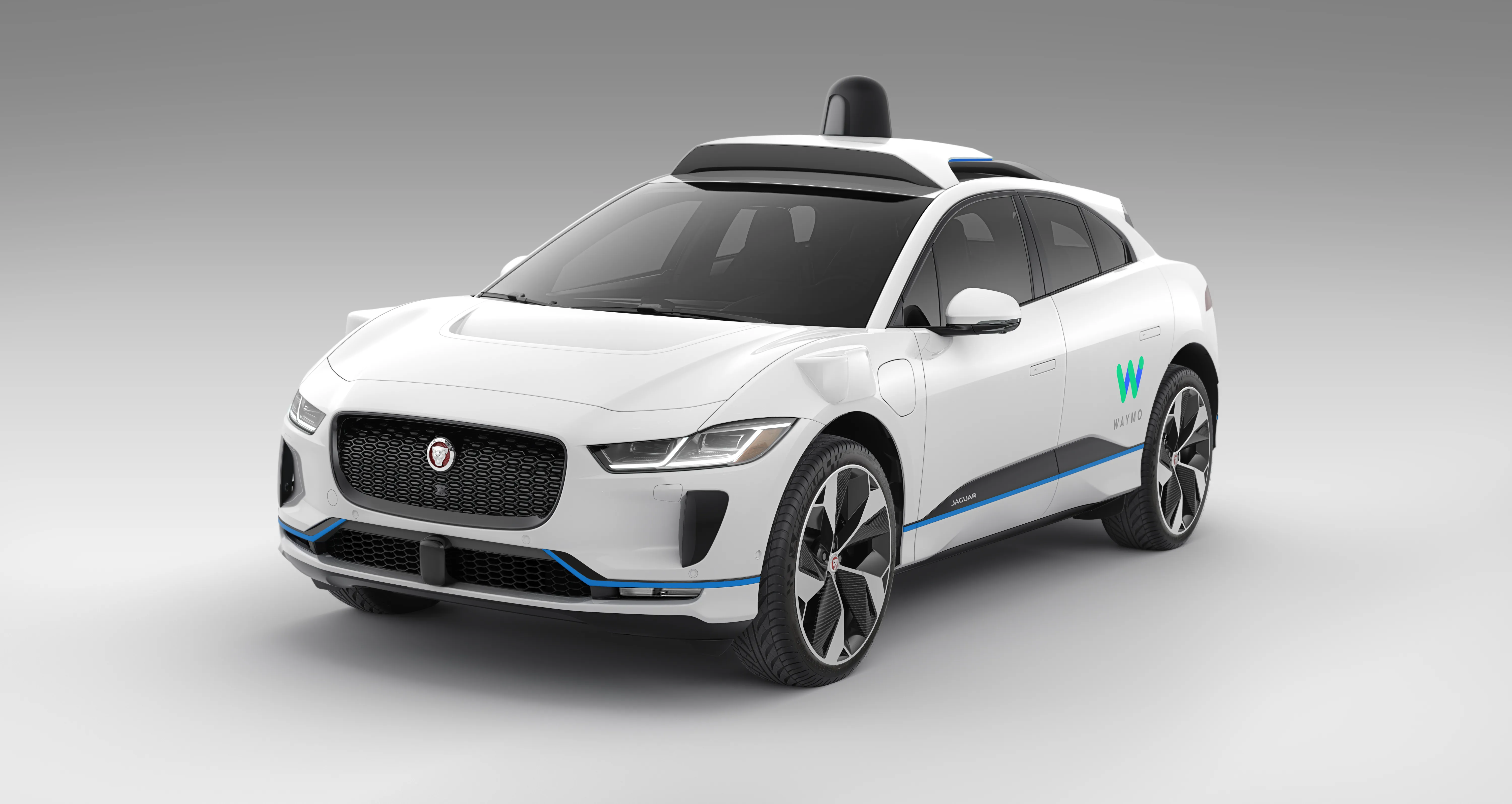
Waymo opens AV dataset to researchers

Waymo is making its Waymo Open Dataset for autonomous vehicles (AVs) available to the research community for free. Waymo is hoping the data will help researchers make advances in 2D and 3D perception and progress in areas such as domain adaptation and behaviour prediction. The company says each segment of driving data captures 20 seconds of continuous driving, allowing researchers to develop models to track and predict the behaviour of other road users. This dataset covers dense and suburban environmen
September 3, 2019 Read time: 2 mins

8621 Waymo is making its Waymo Open Dataset for autonomous vehicles (AVs) available to the research community for free.

Waymo is hoping the data will help researchers make advances in 2D and 3D perception and progress in areas such as domain adaptation and behaviour prediction.

The company says each segment of driving data captures 20 seconds of continuous driving, allowing researchers to develop models to track and predict the behaviour of other road users.

This dataset covers dense and suburban environments across Phoenix (Arizona), Kirkland (Washington) and San Francisco (California), capturing a range of driving conditions day and night.

According to Waymo, the dataset includes lidar frames and images with vehicles, pedestrians, cyclists and signage labelled, reaching 12 million 3D labels and 1.2 million 2D labels.

In response, Johan Herrlin, CEO at 5957 Ito World, describes the announcement as a step in the right direction for Mobility as a Service (8356 MaaS).

“More and more we are looking to shared mobility services as economical and environmentally sound alternatives to private car travel,” he says. “Better MaaS ecosystems, including autonomous vehicles, will drive down private car ownership and have a significant impact on reducing congestion and pollution in city centres.”

“For these revolutionary trends to work, high-quality data – delivered in real time – must be at the fore whether in rural or urban locations. People will only change their travel habits if they can trust the information they receive, plan their journeys and have a good user experience. Otherwise, it all falls apart,” he concludes.

Related Content

  • March 27, 2019
    UK reviews MaaS, data and micromobility regulation
    Mobility as a Service (MaaS), transport data and micromobility are to be the subject of new regulatory review by the UK government. Zero-emission vehicles, driverless vehicles (AVs) and drones are already under similar review. But in a document, Future of Mobility: Urban Strategy, maps out how the country’s Department of Transport will approach other mobility opportunities – and challenges. “This is the moment to reflect on what we as a society want these changes to deliver and what we want our urban
  • April 10, 2024
    Should it be end of the road for right-turns on red?
    Banning right-hand turns after stopping for a red light is gaining momentum in the US. But the debate continues about whether it will result in fewer incidents between vehicles and alternative mobility users. David Arminas reports
  • April 14, 2025
    Lidar lets planners see big picture in Chattanooga
    The city of Chattanooga, Tennessee, is attempting to make its streets safer by using the largest deployment of Lidar-based traffic detection in the US. Adam Hill reports…
  • April 10, 2012
    Why integrated traffic management needs a cohesive approach
    Traffic control is increasingly being viewed as one essential element of a wider ‘system of systems’ – the smart city. Jason Barnes, Jon Masters and David Crawford report on latest ideas and efforts for making cities ‘smarter’ Virtually every element of the fabric and utilitarian operations that make urban areas tick can now be found somewhere in the mix that is the ‘smart city’ agenda. Ideas have expanded and projects pursued in different directions as the rhetoric on making cities ‘smarter’ has grown. App