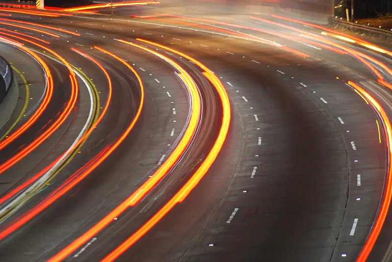
Utah Department of Transportation (UDoT) has hired Econolite to deploy Lidar-based traffic signal detection systems - which work with existing traffic signals - throughout the US state.
The five-year deal will see Econolite using Ouster’s 3D digital Lidar in combination with its BlueCity traffic management platform as part of the Saving Lives with Connectivity: Accelerating V2X Deployment initiative. Econolite has received an initial order for 15 Ouster BlueCity systems.
The solution will support applications, such as vulnerable roadway user detection and Vehicle to Everything connected vehicle messaging.
Ouster Lidars have recently been used in a similar project in Chattanooga, Tennessee.
“By leveraging Ouster BlueCity and Econolite’s Cobalt controllers powered by Eos, UDoT will be able to leverage real-time insights into traffic flow, multimodal road user behaviours, and potential safety risks," says Jim Madden, Econolite vice president of US sales.
The deployment dovetails with UDoT’s roadside units and will be managed through an edge computing system.
Itai Dadon, vice president of smart infrastructure at Ouster, says: “By modernising its road infrastructure with Ouster BlueCity, Utah can provide more efficient, more scalable, and safer streets for all road users.”
"The solution will also integrate seamlessly with UDoT’s existing traffic signal system, supporting dynamic traffic signal interventions designed to improve safety for vehicles, bicyclists and pedestrians," Madden adds.
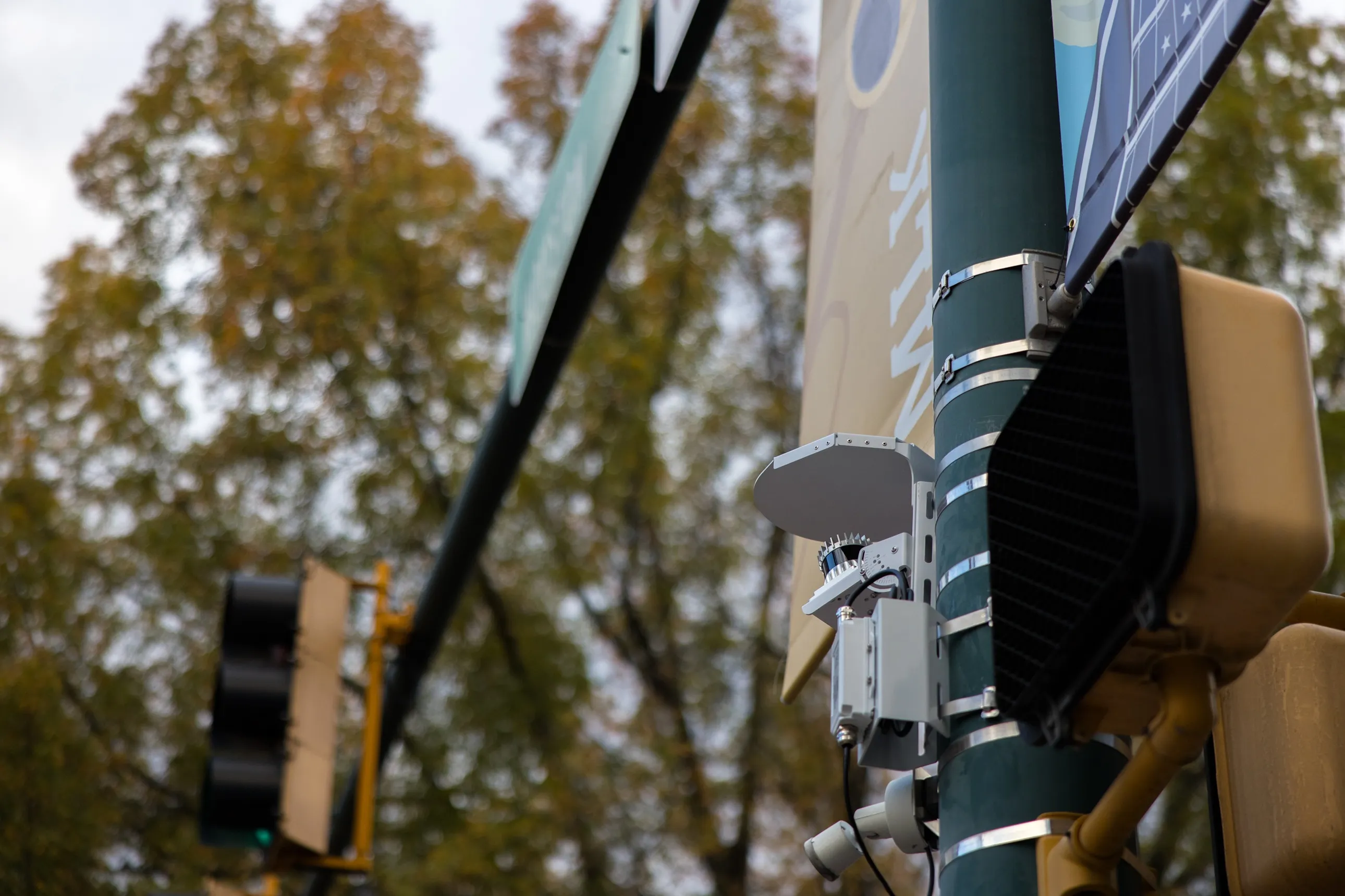
Ouster BlueCity combines Ouster's Lidar with AI perception software and data analytics to create a real-time digital traffic twin of an intersection or road.
The solution provides reliable 3D detection, classification and tracking of multimodal road users in adverse weather and lighting conditions. The cloud-based dashboard makes lidar data available 24/7, requiring no other external aggregated data sources or manual data collection efforts. In addition, the solution is non-invasive and typically requires no road closures or ongoing maintenance.
USDoT's Federal Highway Administration gave Utah a grant to lead the Connected West Project, spanning Utah, Colorado and Wyoming to serve as a national model to push new deployments of V2X technologies.