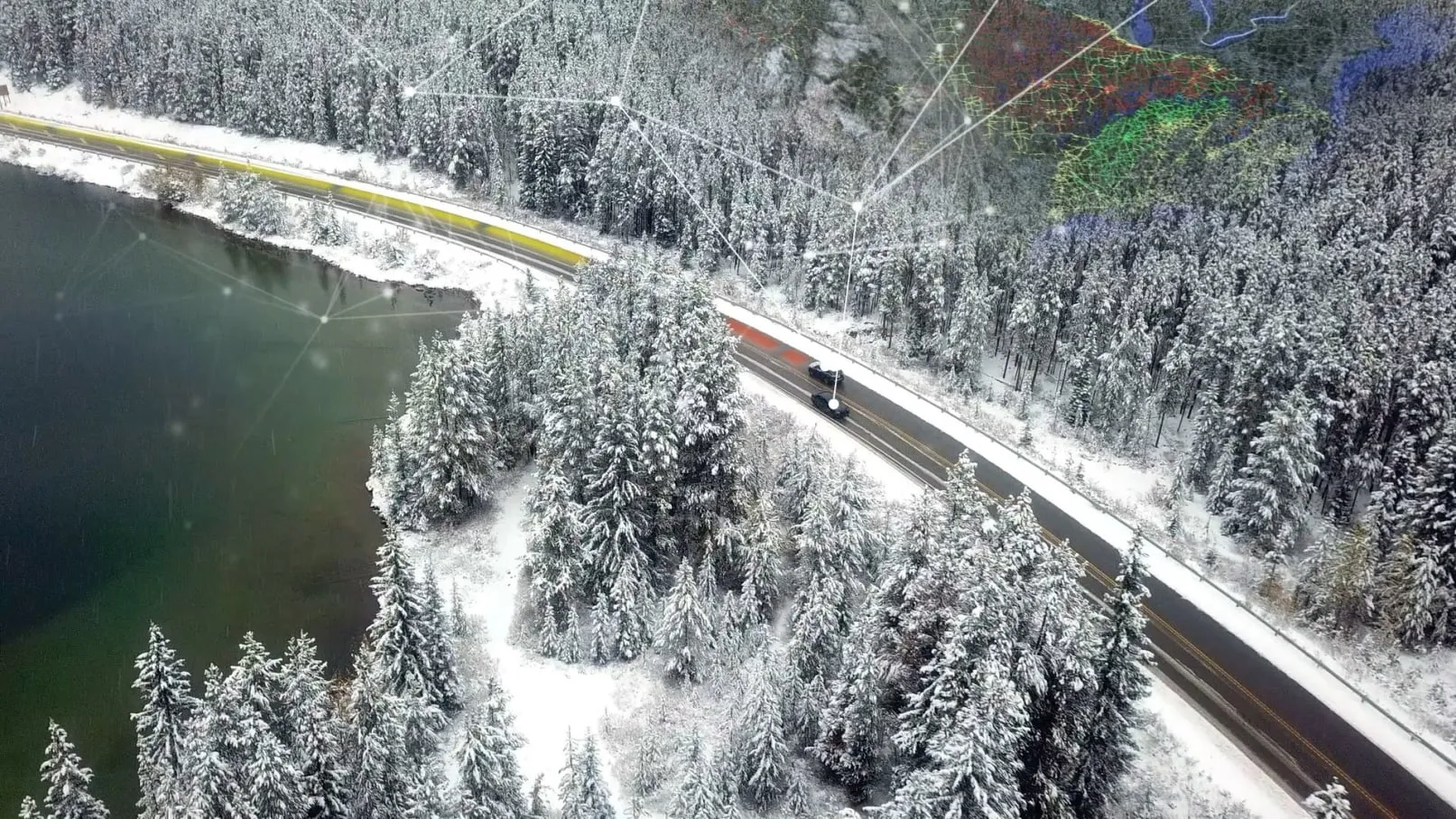
University of Birmingham’s road surface temperature sensor which uses infrared thermometry will be adopted on the UK’s road and motorway network following a national award at the Highways UK Intelligent Infrastructure Challenge 2017. The judges at the ceremony believe that deploying the sensor network could have an immediate impact on their ability to better control gritting routines in winter. Developed by Lee Chapman, professor of Climate Resilience at the University, the Wintersense sensors are
November 24, 2017
Read time: 2 mins
University of Birmingham’s road surface temperature sensor which uses infrared thermometry will be adopted on the UK’s road and motorway network following a national award at the Highways UK Intelligent Infrastructure Challenge 2017. The judges at the ceremony believe that deploying the sensor network could have an immediate impact on their ability to better control gritting routines in winter.
Developed by Lee Chapman, professor of Climate Resilience at the University, the Wintersense sensors are Internet of Things enabled and use low power communications which aim to provide a real-time measurement of road surface temperature that will be used to direct gritting lorries to priority areas.
The panel of judges included representatives from Highways England, Transport Scotland, England’s Economic Heartland and Transport for the North.
During the winter months, highways maintenance companies dispatch fleets of gritting lorries which aim to present or mitigate the impact of black ice formation on motorways and A roads. In harsh winters, the routing of gritting lorries is prioritised to ensure optimal road safety.
Lee Chapman, said: “The key issue in this prioritisation is having good spatial resolution on observation of road surface conditions. Our sensors are an order of magnitude cheaper than existing solutions, and light enough to be mounted on any lamp post, gantry or road sign, which means a dense network of sensors can be rapidly deployed along a road network to provide a highly granular picture of road surface conditions.”


