Toyota to build HD maps for automated vehicles using camera data

Toyota Research Institute-Advanced Development and telematics company Carmera are conducting a ‘proof of concept’ project to develop camera-based automation of high definition (HD) maps for roads in Japan. Toyota says the project will help realise its automated mapping platform, an open software concept which supports automated driving by combining data gathered from vehicles of participating companies to generate HD maps. Cameras which use Toyota Safety Sense (TSS) components will be equipped to th
March 5, 2019 Read time: 2 mins
1686 Toyota Research Institute-Advanced Development and telematics company Carmera are conducting a ‘proof of concept’ project to develop camera-based automation of high definition (HD) maps for roads in Japan.


Toyota says the project will help realise its automated mapping platform, an open software concept which supports automated driving by combining data gathered from vehicles of participating companies to generate HD maps.

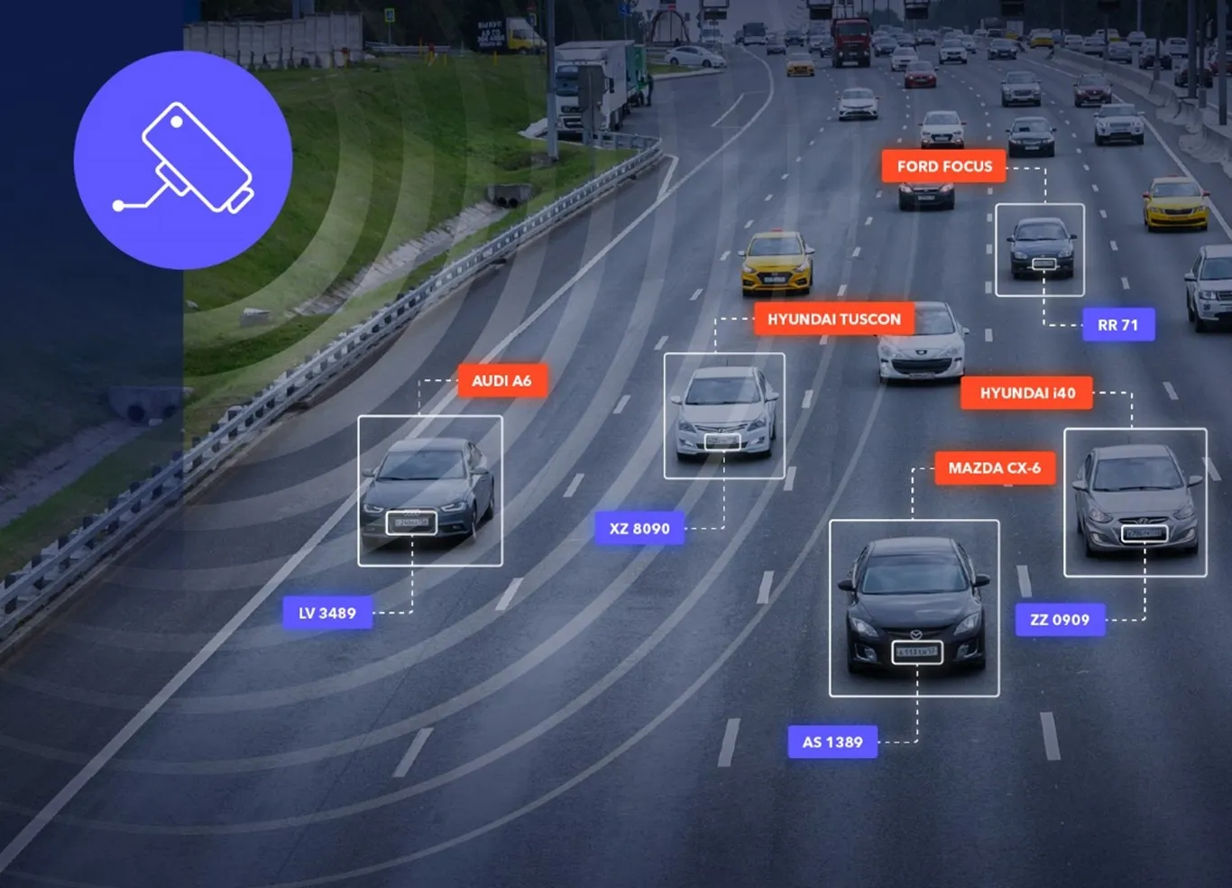
Cameras which use Toyota Safety Sense (TSS) components will be equipped to the company’s test vehicles to collect data and images over several months from areas in downtown Tokyo. This information will then be processed on Carmera’s real-time platform to automatically generate HD map data.

Additionally, dashcam drive records will demonstrate automated map generation from a broader range of sources which do not have TSS.  

According to Toyota, combining these techniques with digital maps available today will provide even more reliable road information to driverless vehicles. Also, generating HD maps based on data acquired from commercially available vehicles will enable automated driving on all roads, the manufacturer says.

For more information on companies in this article

Related Content

  • Researchers use drones to assess infrastructure damage
    March 6, 2015
    Researchers at the University of New Mexico, along with collaborators at San Diego State University and BAE Systems, are utilising drone technology to develop an operational prototype to assess infrastructure damage. The drone will use innovative remote sensing approaches and cameras mounted on low cost aircraft or unmanned drones to detect and map fine scale transportation infrastructure damage such as cracks, deformations and shifts immediately following natural disasters such as earthquakes, floods and h
  • US Cities push for smarter poles
    June 25, 2018
    US Cities The need to connect existing infrastructure has led various US transit authorities into imaginative alleyways: David Crawford examines some new roles for street furniture. US cities are vying with each other in developing schemes to create a new generation of connected places. Their strategies include taking advantage of their streetlight poles’ height and ubiquity to give them new roles in supporting intelligent nodes. They are now being equipped for collecting real-time data on key transport
  • Towards intelligent road infrastructure
    October 8, 2021
    A digital transformation is happening in the world today and the result is that Europe’s transport infrastructure, and also the car industry are experiencing revolutionary changes. Jēkabs Krastiņš looks at the challenges and plots the road ahead.
  • C/AVs could mean cheaper roads
    October 28, 2019
    The safety benefits of C/AVs have long been promoted – but research suggests they should also contribute to cheaper roads. David Crawford investigates the potential benefits in infrastructure costs Building narrower freeway lanes to accommodate the enhanced route-tracking capabilities of connected and autonomous vehicles (C/AVs), running in platoon conditions, could result in cost savings of £0.5 million (€0.56 million or US$6.5 million) for every km of road length built. Such benefits could be secur