TfL and Clear Channel team on interactive London bus stop

Transport for London (TfL) has partnered with media and advertising company Clear Channel UK to trial a real-time mapping tool at a Regent Street, London, bus stop. The new mapping tool, said to be the first of its kind to operate in a UK bus shelter, was developed and funded by Clear Channel to coincide with the Year of the Bus - a celebration of both the heritage of London buses and a look ahead to their future.
March 28, 2014 Read time: 2 mins
1466 Transport for London (TfL) has partnered with media and advertising company 1730 Clear Channel UK to trial a real-time mapping tool at a Regent Street, London, bus stop.  

The new mapping tool, said to be the first of its kind to operate in a UK bus shelter, was developed and funded by Clear Channel to coincide with the Year of the Bus - a celebration of both the heritage of London buses and a look ahead to their future.

Positioned on one of London’s busiest shopping streets at Piccadilly Circus’s bus stop ‘G’, the state-of-the-art digital screen incorporates TfL’s data feed of live departure information to allow passengers to track their bus in real time. Alongside live bus arrival information, the interactive panel offers wider transport network updates from the London Underground and real-time availability of nearby 5582 Barclays Cycle Hire bikes and docking points.  

The panel also offers local area information including maps and walking routes to tourist attractions, theatres and shops. Over the next two months, customer interaction with the panel will be monitored, by Clear Channel UK, and analysed to enhance the service.

Related Content

  • January 19, 2017
    TfL upgrades transport planning tool
    Transport for London (TfL) has upgraded WebCAT, its online planning tool for showing how well-connected a location is in terms of transport. It includes a range of new data to help the city’s planners design the housing and business developments of the future. As well as previously released information such as the levels of public transport by location and journey time, the latest version of WebCAT now includes heat maps which show users how well-connected an area is, not only by public transport but no
  • December 10, 2015
    Phoenix rises to the Smart City challenge
    Andrew Bardin Williams looks at the City of Phoenix where voters backed a $30bn plan to revamp its transportation network to cultivate a more connected community. According to a Land Use Institute study, half of all Americans and even more millennials (63%) would like to live in a place where they do not need to use a car very often. The City of Phoenix is putting in place plans to revamp its urban development and transportation policies to meet these changing quality of life perceptions.
  • December 30, 2021
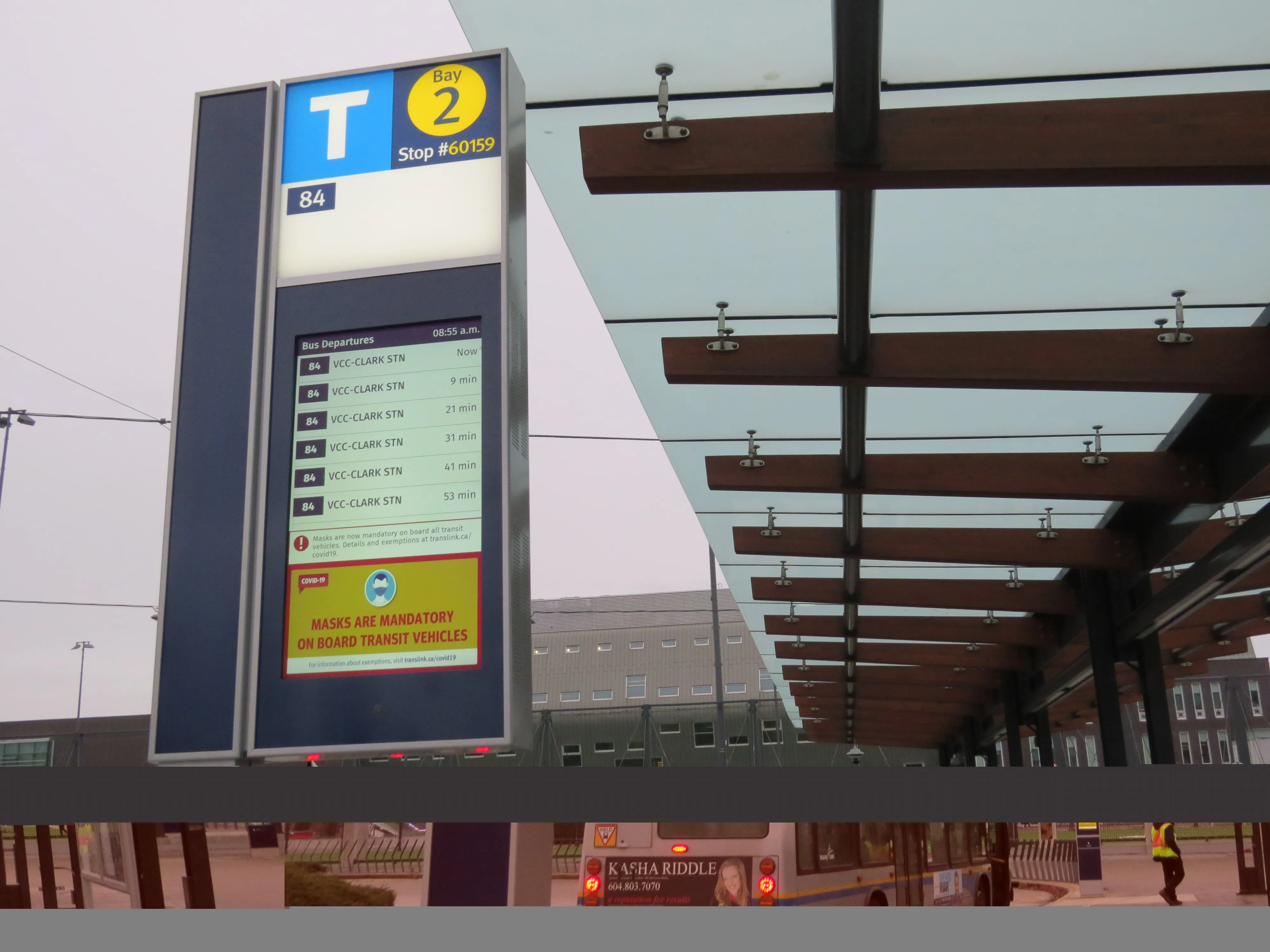
    TransLink installs screens at UBC Exchange 
    Screens at University of British Columbia feature text to speed audio for the visually impaired 
  • November 17, 2017
    Busem installs e-paper displays at 14 smart bus stops in Pisek
    Busem, part of ČSAD autobusy České Budějovice a.s (CSAD), is using Papercast’s solar-powered e-paper displays to create smart bus stops at 14 major locations across the city of Písek in the Czech Republic. The displays are designed with the intention of improving the day-to-day passenger experience and fuel wider adoption of bus services. It also aims to provide passengers with dynamic arrival information based on the actual position of the vehicles on the route as well as immediate updates on service or