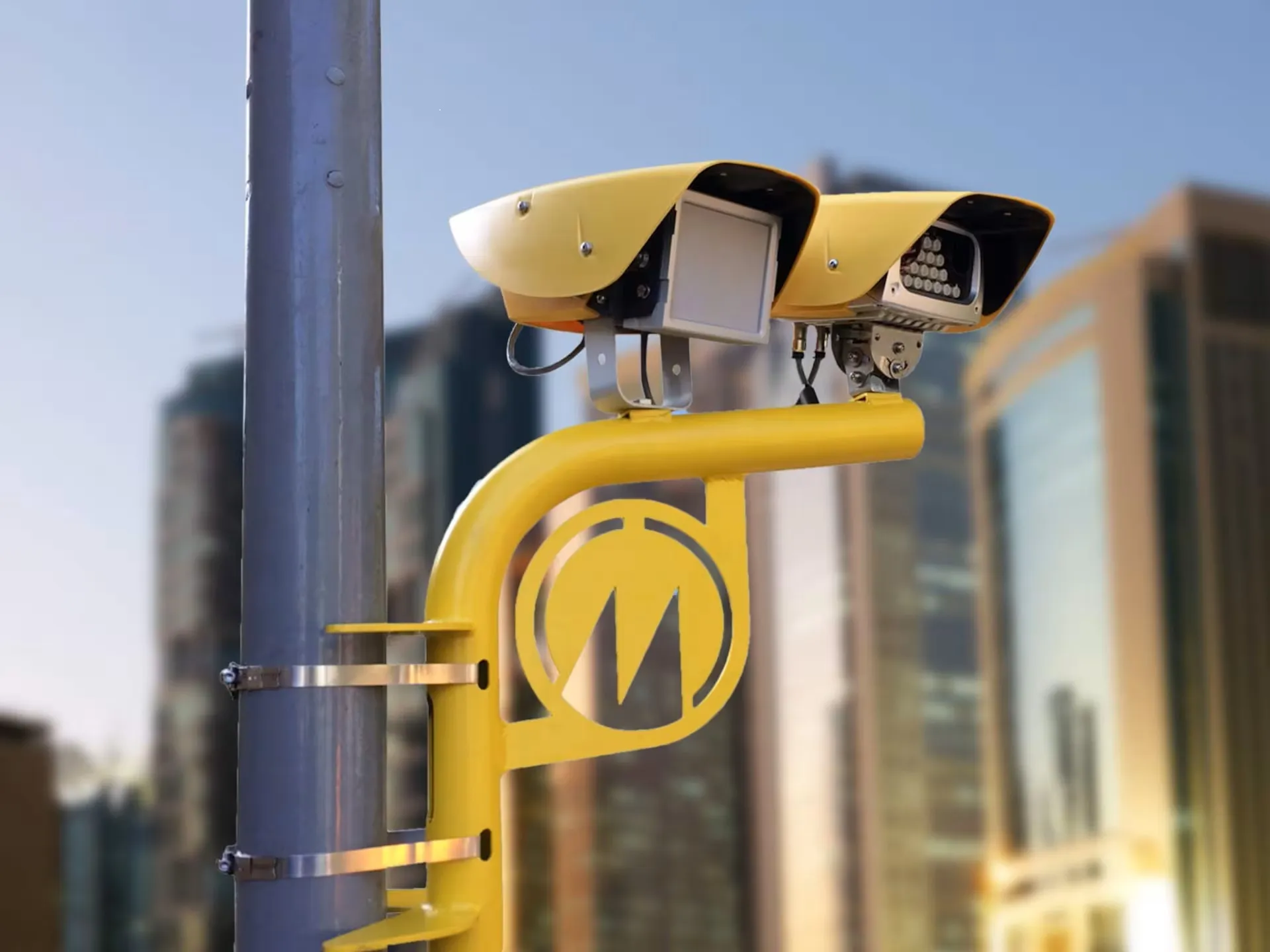
ANPR specialist Tattile has launched its licence plate recognition camera for stop-and-go tolling in Myanmar (formerly known as Burma).
The south-east Asian country is steadily moving towards digitalisation, according to Tattile, and the new set-up uses the Italian manufacturer's licence plate recognition camera with the embedded optical character recognition (OCR) system.
Tattile’s Stark OCR technology - entirely developed in-house - ensures the precise reading of licence plates, even under challenging conditions, including those that are particularly detailed, filled with tiny details or have different colours.
The OCR has been customised for Myanmar to meet the country’s requirements, including variations in plate designs, road conditions and infrastructure, lighting and weather conditions.
Tattile said its solution has a 97% accuracy rate and a reduced execution time of up to six transits per second.
The contract in Myanmar requires a colour version of Tattile's Vega53, which has an integrated high-power visible light illuminator to support demanding performance and optimal reading.
The system includes standard features such as embedded ANPR, colour vehicle images, optical speed evaluation and the ability to read Myanmar’s black and non-reflective licence plates.
An extra-sensitive sensor mounted on the Vega53 context camera ensures quality images even in low-light conditions. The modular system architecture allows for easy customisation of the hardware platform according to each application’s complexity.
Stop-and-go tolling charges vehicles a toll based on the distance they travel on the road. Vehicles stop at a toll booth and pay before proceeding on their journey. This is achieved by using a combination of cameras and electronic sensors to track vehicles as they enter and exit the tolled area.
The system calculates the distance travelled and charges the vehicle’s account accordingly.


