Sydney gets real-time bus information

Sydney bus passengers can now track whether their bus service is running late, with the New South Wales (NSW) government making real-time information on bus movements available to mobile app developers. The latest versions of TripView, Arrivo Sydney and TripGo allow users to locate the nearest bus stop and ticket machine, predict when a bus is to arrive and see where a bus is on its route using GPS data from the Public Transport Information Priority System (PTIPS). The real time information will initially b
December 18, 2012 Read time: 3 mins

Sydney bus passengers can now track whether their bus service is running late, with the New South Wales (NSW) government making real-time information on bus movements available to mobile app developers. 

The latest versions of TripView, Arrivo Sydney and TripGo allow users to locate the nearest bus stop and ticket machine, predict when a bus is to arrive and see where a bus is on its route using GPS data from the Public Transport Information Priority System (PTIPS). 

The real time information will initially be available for State Transit services in the Sydney CBD, the eastern suburbs, the inner west, southern suburbs, north western suburbs, the northern beaches and lower north shore. It is expected the service will be progressively expanded. 

All three apps provide free ‘lite’ versions or come at a small cost to access all features and are either available now or will be once approved by app stores. 

The apps contain real-time data spanning some 8,200 stops, more than 1,900 buses and almost 1,200 routes across the Sydney Bus Network. 

Minister for Transport Gladys Berejiklian said customers wanted real time public transport information and the three apps being released were just the beginning of the NSW Government’s plans to provide it.  "Having real time information is a game-changer when it comes to public transport,” Ms Berejiklian said. 

“With these apps customers will be able to plan ahead not just by looking at the timetable, but see where buses are on their route and how far away they are.  The apps will make things easier for bus customers by helping them find the right bus stop nearby, where to buy a ticket, and providing a prediction of when buses will arrive based on the bus location from GPS. 

“Some of the apps will alert customers to the next bus arriving at the most convenient stop, give an estimated walk time, guide them directly to the street location, provide real-time alerts, live maps, and comparisons of similar transport options by cost, convenience and emissions.” 

Meanwhile, Transport for NSW bus, train and ferry timetable data used by Google in the development of Google Maps will be released to the wider development community to create more apps for public transport customers.

Related Content

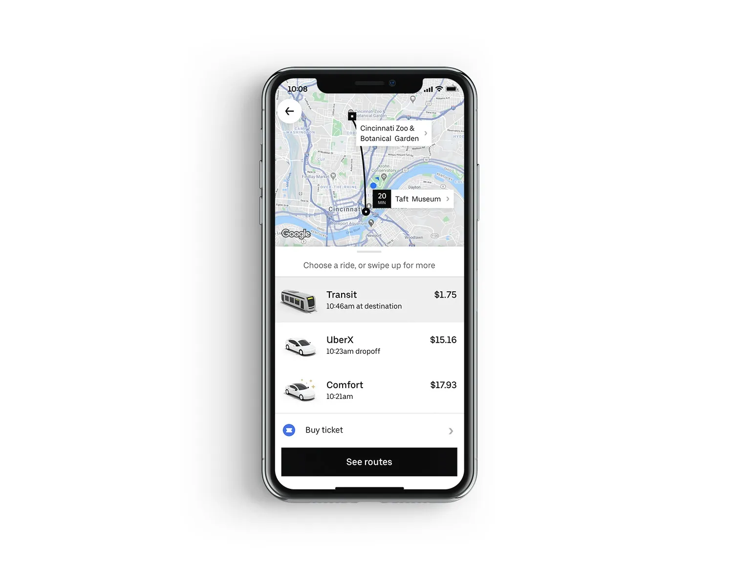
  • Uber app now includes US public transit agencies
    July 17, 2020
    The ride-hailing app's users are able to buy journey tickets in Ohio and Kentucky
  • Riyadh aims to build world’s biggest public transport system in five years
    May 15, 2017
    The City of Riyadh, Saudi Arabia, is building the world's largest public transit system --- in just five years. It will be presenting the project at the Palais des Congrès, in Montreal, Quebec, during the global summit of the Union Internationale des Transports Publics (UITP), this week. Managed by The High Commission for the Development of Arriyadh (HCDA), the project includes six metro lines covering 176 km and 85 stations, in addition to 24 bus routes covering 1,900 km and 3,000 stations and stops. At a
  • TomTom powers new AA Roadwatch Pro traffic app
    March 22, 2013
    The UK’s Automobile Association (the AA) has licensed TomTom’s HD traffic data to power its new AA Roadwatch Pro traffic app, which it has been launched to alert users to congestion on their planned routes. Using TomTom’s real time traffic services, the app provides subscribers with a text alert if there are traffic delays on their planned journey before they leave. Users can then decide on an alternative route if necessary, to give them the best chance to arrive at their destination on time. The app also p
  • Study shows significant savings from combining bus and HOT lanes
    August 2, 2013
    David Crawford looks at some radical thinking that could see self-financing mass transit in Florida. Toll and transit agencies in the Tampa metro area on the west coast of the US State of Florida, have joined forces to put forward a pioneering combined bus and toll lane (BTL) scheme. The Tampa Hillsborough Expressway Authority is working in partnership with regional bus operator Hillsborough Area Regional Transit on the plans of which should be finalised this autumn. The Tampa Hillsborough Expressway Author