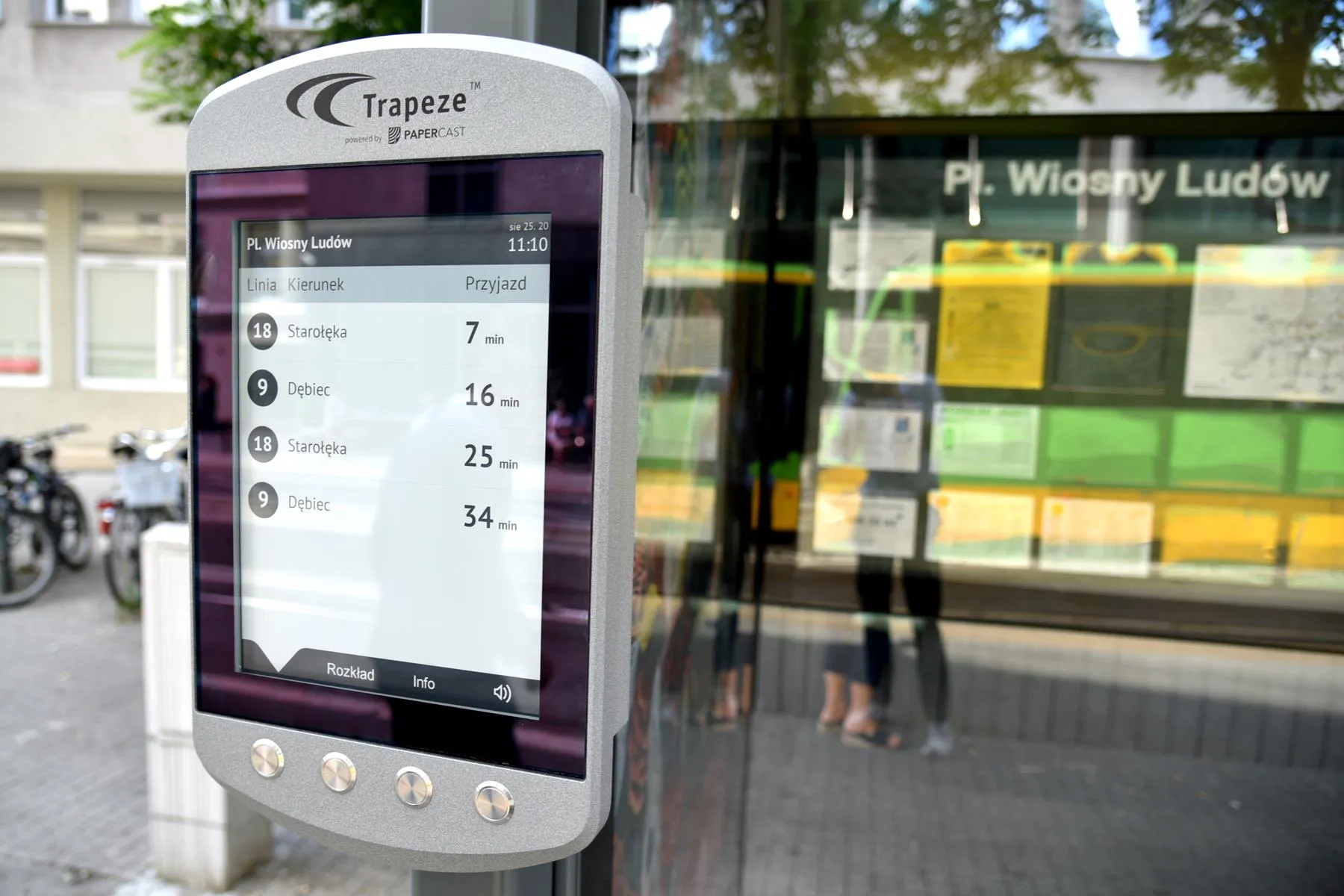
Sydney bus passengers can now track whether their bus service is running late, with the New South Wales (NSW) government making real-time information on bus movements available to mobile app developers.
The latest versions of TripView, Arrivo Sydney and TripGo allow users to locate the nearest bus stop and ticket machine, predict when a bus is to arrive and see where a bus is on its route using GPS data from the Public Transport Information Priority System (PTIPS).
The real time information will initially be available for State Transit services in the Sydney CBD, the eastern suburbs, the inner west, southern suburbs, north western suburbs, the northern beaches and lower north shore. It is expected the service will be progressively expanded.
All three apps provide free ‘lite’ versions or come at a small cost to access all features and are either available now or will be once approved by app stores.
The apps contain real-time data spanning some 8,200 stops, more than 1,900 buses and almost 1,200 routes across the Sydney Bus Network.
Minister for Transport Gladys Berejiklian said customers wanted real time public transport information and the three apps being released were just the beginning of the NSW Government’s plans to provide it. "Having real time information is a game-changer when it comes to public transport,” Ms Berejiklian said.
“With these apps customers will be able to plan ahead not just by looking at the timetable, but see where buses are on their route and how far away they are. The apps will make things easier for bus customers by helping them find the right bus stop nearby, where to buy a ticket, and providing a prediction of when buses will arrive based on the bus location from GPS.
“Some of the apps will alert customers to the next bus arriving at the most convenient stop, give an estimated walk time, guide them directly to the street location, provide real-time alerts, live maps, and comparisons of similar transport options by cost, convenience and emissions.”
Meanwhile, Transport for NSW bus, train and ferry timetable data used by Google in the development of Google Maps will be released to the wider development community to create more apps for public transport customers.


