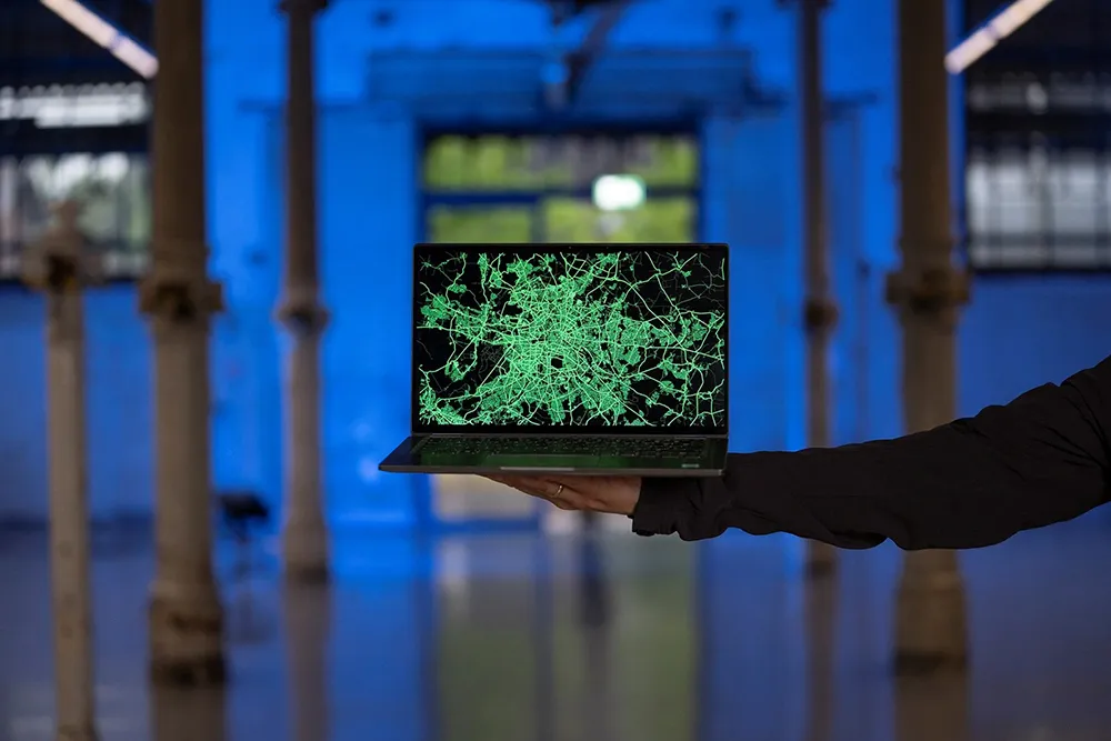
Screens have been installed at London’s Heathrow Terminal 2, showing passengers live price and journey time comparisons between taxis and the airport’s train service to central London.
The screens combine real-time traffic, weather and Heathrow Express train service information into one user-friendly data feed, or journey comparison generator, at the terminal’s baggage reclaim zone.
This summer the screens at each baggage carousel will be translated to the main language of people on the arriving fligh
April 21, 2015
Read time: 2 mins
Screens have been installed at London’s Heathrow Terminal 2, showing passengers live price and journey time comparisons between taxis and the airport’s train service to central London.
The screens combine real-time traffic, weather and Heathrow Express train service information into one user-friendly data feed, or journey comparison generator, at the terminal’s baggage reclaim zone.
This summer the screens at each baggage carousel will be translated to the main language of people on the arriving flight and later in the year they will be installed across Heathrow’s Terminals 3 and 5. The aim is to help customers make the fastest and cheapest choice of onward travel.
The project was jointly devised and created by Heathrow Express, which connects Heathrow and Paddington in just 15 minutes, every 15 minutes; JCDecaux Airport UK, which sells media space; and digital agency DOOH.com, which links digital networks.
DOOH.com tackled the complex task of bringing together five different layers of real-time data feeds, including GPS traffic information used in1692 TomTom car satellite navigation systems, Google, Highways England, the Meteorological Office and timetable information from Heathrow Express.
The screens combine real-time traffic, weather and Heathrow Express train service information into one user-friendly data feed, or journey comparison generator, at the terminal’s baggage reclaim zone.
This summer the screens at each baggage carousel will be translated to the main language of people on the arriving flight and later in the year they will be installed across Heathrow’s Terminals 3 and 5. The aim is to help customers make the fastest and cheapest choice of onward travel.
The project was jointly devised and created by Heathrow Express, which connects Heathrow and Paddington in just 15 minutes, every 15 minutes; JCDecaux Airport UK, which sells media space; and digital agency DOOH.com, which links digital networks.
DOOH.com tackled the complex task of bringing together five different layers of real-time data feeds, including GPS traffic information used in


