A European research project led by Eindhoven University of Technology in the Netherlands makes real-time information available for the whole transport chain for the first time.
The GET Service software platform, which is being presented at an international symposium in Rotterdam on 1 October, enables a flexible response to unforeseen circumstances, making transport faster, more environmentally friendly and cheaper each year by many billions. The researchers are confident that the total fuel consumption
A European research project led by Eindhoven University of Technology in the Netherlands makes real-time information available for the whole transport chain for the first time.
The GET Service software platform, which is being presented at an international symposium in Rotterdam on 1 October, enables a flexible response to unforeseen circumstances, making transport faster, more environmentally friendly and cheaper each year by many billions. The researchers are confident that the total fuel consumption in the EU can be reduced by some 2 billion litres and CO2 emissions cut by 6.5 million annually.
A collaborative project involving transport companies and research institutions, led by researchers Remco Dijkman and Paul Grefen, has spent three years developing a software platform that allows transport routes to be adjusted in the light of unforeseen circumstances.
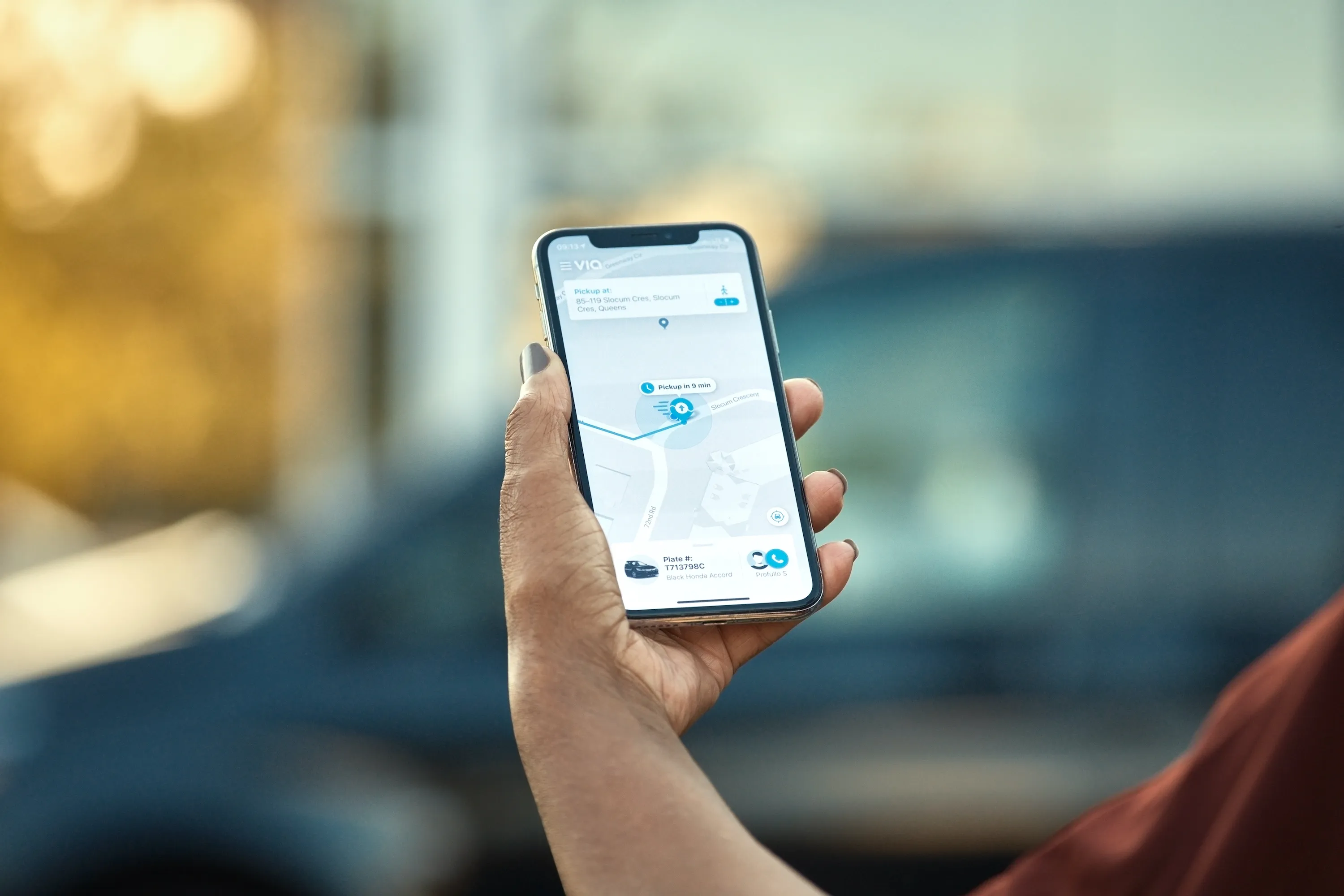
GET Service solves a major problem in the transport sector, say the researchers. It makes real-time information available for every transporter, about the location of goods, how busy the road is, the weather conditions and more. This kind of information is currently lacking and planning is made in advance. “What is holding transporter back is a fear of market share if they share information,” Dijkman says.
This widely backed European platform, largely funded by the European Union, is intended to put an end to this problem. The platform enables plans to be made and adjusted on the basis of up-to-the-minute information and the availability of transport. The researchers are confident that the total fuel consumption in the EU can be reduced by some 2 billion litres and CO2 emissions cut by 6.5 million annually by improving the use of environmentally-friendly means of transport and cutting the number of ‘empty’ trucks on the road.
Partners in the project include Eindhoven University of Technology, Portbase in Rotterdam, IBM Research in Zürich, Jan de Rijk Logistics in Roosendaal, PTV in Karlsruhe, Wirtschaftuniversität in Vienna and Exus in Athens.
The GET Service software platform, which is being presented at an international symposium in Rotterdam on 1 October, enables a flexible response to unforeseen circumstances, making transport faster, more environmentally friendly and cheaper each year by many billions. The researchers are confident that the total fuel consumption in the EU can be reduced by some 2 billion litres and CO2 emissions cut by 6.5 million annually.
A collaborative project involving transport companies and research institutions, led by researchers Remco Dijkman and Paul Grefen, has spent three years developing a software platform that allows transport routes to be adjusted in the light of unforeseen circumstances.
GET Service solves a major problem in the transport sector, say the researchers. It makes real-time information available for every transporter, about the location of goods, how busy the road is, the weather conditions and more. This kind of information is currently lacking and planning is made in advance. “What is holding transporter back is a fear of market share if they share information,” Dijkman says.
This widely backed European platform, largely funded by the European Union, is intended to put an end to this problem. The platform enables plans to be made and adjusted on the basis of up-to-the-minute information and the availability of transport. The researchers are confident that the total fuel consumption in the EU can be reduced by some 2 billion litres and CO2 emissions cut by 6.5 million annually by improving the use of environmentally-friendly means of transport and cutting the number of ‘empty’ trucks on the road.
Partners in the project include Eindhoven University of Technology, Portbase in Rotterdam, IBM Research in Zürich, Jan de Rijk Logistics in Roosendaal, PTV in Karlsruhe, Wirtschaftuniversität in Vienna and Exus in Athens.