Germany-headquartered Berner and Mattner is to carry out a feasibility study, SafeRail - Improving Safety at Railway Level Crossings, on behalf of the European Space Agency (ESA). The objective of the study, which is to be carried out within ESA’s Integrated Applications Promotion Program, is to determine the technical feasibility and economic viability of a space-based service using an integrated solution which employs different types of space assets in combination with already existing terrestrial techno
March 21, 2013
Read time: 2 mins
Germany-headquartered Berner and Mattner is to carry out a feasibility study, SafeRail - Improving Safety at Railway Level Crossings, on behalf of 6780 The European Space Agency (ESA).
The objective of the study, which is to be carried out within ESA’s Integrated Applications Promotion Program, is to determine the technical feasibility and economic viability of a space-based service using an integrated solution which employs different types of space assets in combination with already existing terrestrial technologies.
Technical methods to be considered range from determining railroad vehicles’ position using relative measurements carried out by the railroad company and by satellite navigation to redundant terrestrial and satellite communication and integrated traffic information systems that provide the driver with suitable information.
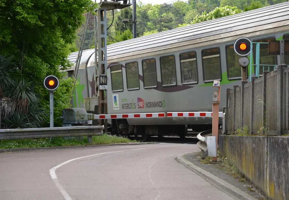
The potential risk of railway level crossings as an intersection of two different traffic modes is very high. A quarter of all railroad fatalities are caused by accidents at railway level crossings. Due to the high variety of existing technical safety systems, efficient modernisation of the current systems is difficult.
Support agreements with several relevant European users and stakeholders have been established during preparation of the study. The results of the study will be presented to the user community during an awareness event.


