Swedish geographic modelling specialist Blom is cooperating with a Finnish company, Suomen Kuntotekniikka, on road condition assessment projects, using BlomSTREET imagery which enables visual assessment of road segments where repairs are required, providing budgetary analysis of necessary maintenance and construction tasks.
BlomSTREET imagery provides automatic traffic sign inventory using country-specific, official traffic sign libraries. The company says that experience from recent projects demonstrate
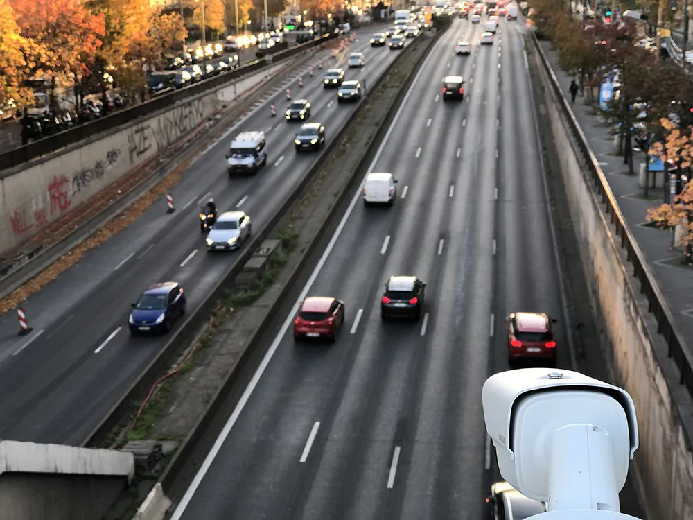
Swedish geographic modelling specialist Blom is cooperating with a Finnish company, Suomen Kuntotekniikka, on road condition assessment projects, using BlomSTREET imagery which enables visual assessment of road segments where repairs are required, providing budgetary analysis of necessary maintenance and construction tasks.
BlomSTREET imagery provides automatic traffic sign inventory using country-specific, official traffic sign libraries. The company says that experience from recent projects demonstrates that the automatic method provides a completeness of better than 90 per cent for an inventory project. Problems caused by dense vegetation, partial signs and other intrusions can be improved using manual editing.
A standard traffic sign inventory project includes capturing coordinates (x,y,z) and orientation of the sign, standard deviation, sign type and any text contained on the sign itself. Once images have been captured for inventory and assessment purposes they can then also be used for many alternative functions, such as city planning and 3D modelling.
"The high quality BlomSTREET imagery has been a great tool for interpreting the condition of streets. Together with ground-penetrating radar data, it allows quick identification where streets are in need of repair,” states Jari Marjeta of Suomen Kuntotekniikka.