Researchers at the University of New Mexico, along with collaborators at San Diego State University and BAE Systems, are utilising drone technology to develop an operational prototype to assess infrastructure damage. The drone will use innovative remote sensing approaches and cameras mounted on low cost aircraft or unmanned drones to detect and map fine scale transportation infrastructure damage such as cracks, deformations and shifts immediately following natural disasters such as earthquakes, floods and h
March 6, 2015
Read time: 3 mins
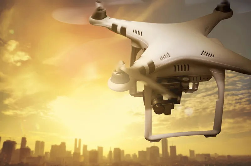
Researchers at the University of New Mexico, along with collaborators at San Diego State University and BAE Systems, are utilising drone technology to develop an operational prototype to assess infrastructure damage.
The drone will use innovative remote sensing approaches and cameras mounted on low cost aircraft or unmanned drones to detect and map fine scale transportation infrastructure damage such as cracks, deformations and shifts immediately following natural disasters such as earthquakes, floods and hurricanes.
With the help of a two-year, US$1.2 million grant from5386 the United States Department of Transportation Office of the Assistant Secretary for Research and Technology Commercial Remote Sensing and Spatial Information Technologies Program (CRS&SI) and additional support from the UNM College of Arts and Sciences and UNM School of Engineering, researchers Christopher Lippitt and Susan Bogus Halter are conducting the research project.
The project builds upon previous research and patent pending technology to design a complete remote sensing system designed to meet the needs of agencies such as the7074 New Mexico Department of Transportation (DOT) and US DOT. The researchers aim to make available the latest in precision change detection and user optimised remote sensing systems to USDOT for operational assessment of damage to transportation infrastructure following hazard events.
The research team has already conducted extensive research and development on an image-based infrastructure assessment model that utilises fast and precise data collection and processing within those critical time frames. Using a novel approach called repeat station imaging (RSI), researchers hope to rapidly align and analyse images for detection of fine-scale damage to infrastructure.
The researchers will use a GT500 aircraft made by Quicksilver for the project, while also working with corporate partner NEOS which is supporting all the research and development efforts. The information will eventually enable the USDOT, the NMDOT or any local DOT to better manage their assets by bringing much more data to the table than ever before.
One of the keys to infrastructure damage assessment is timeliness. Many natural disasters create dangerous situations that are time-sensitive in nature. The first 24 hours are oftentimes critical in terms of damage assessment, search and rescue. Short time-frame damage assessments, sometimes over large urban areas, can be difficult with the current conventional, ground-observations and sensor networks researchers say.
The solution to this post-hazard information access challenge is to design flexible, ready-to-deploy, time-sensitive remote sensing systems (TSRSS) based on a network of airborne platforms and digital cameras (manned aircraft in the short term and unmanned aircraft long term).
“I like to call it telemedicine for infrastructure,” said Lippitt. “We’re talking about being able to map every piece of critical infrastructure in minutes to hours as opposed to hours to days."
The drone will use innovative remote sensing approaches and cameras mounted on low cost aircraft or unmanned drones to detect and map fine scale transportation infrastructure damage such as cracks, deformations and shifts immediately following natural disasters such as earthquakes, floods and hurricanes.
With the help of a two-year, US$1.2 million grant from
The project builds upon previous research and patent pending technology to design a complete remote sensing system designed to meet the needs of agencies such as the
The research team has already conducted extensive research and development on an image-based infrastructure assessment model that utilises fast and precise data collection and processing within those critical time frames. Using a novel approach called repeat station imaging (RSI), researchers hope to rapidly align and analyse images for detection of fine-scale damage to infrastructure.
The researchers will use a GT500 aircraft made by Quicksilver for the project, while also working with corporate partner NEOS which is supporting all the research and development efforts. The information will eventually enable the USDOT, the NMDOT or any local DOT to better manage their assets by bringing much more data to the table than ever before.
One of the keys to infrastructure damage assessment is timeliness. Many natural disasters create dangerous situations that are time-sensitive in nature. The first 24 hours are oftentimes critical in terms of damage assessment, search and rescue. Short time-frame damage assessments, sometimes over large urban areas, can be difficult with the current conventional, ground-observations and sensor networks researchers say.
The solution to this post-hazard information access challenge is to design flexible, ready-to-deploy, time-sensitive remote sensing systems (TSRSS) based on a network of airborne platforms and digital cameras (manned aircraft in the short term and unmanned aircraft long term).
“I like to call it telemedicine for infrastructure,” said Lippitt. “We’re talking about being able to map every piece of critical infrastructure in minutes to hours as opposed to hours to days."


