San Francisco Municipal Transportation Agency (SFMTA) is planning the first bus rapid transit (BRT) in the city. The Van Ness Bus Rapid Transit (BRT) project aims to create efficient and more reliable transit service along the Van Ness Avenue corridor, as well as promoting pedestrian safety and accessibility, enhancing the urban design, and strengthening the identity of Van Ness Avenue.
The project includes centre-running, dedicated transit-only lanes on Van Ness Avenue from Mission Street to Lombard Str
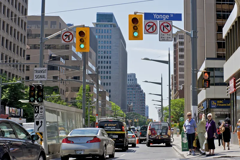
The project includes centre-running, dedicated transit-only lanes on Van Ness Avenue from Mission Street to Lombard Street to improve transit reliability and travel times by separating transit from traffic congestion. New traffic signals will prioritise transit at intersections and enhance pedestrian safety.
The Van Ness BRT corridor will improve the transit and pedestrian experience for 60,000 projected customers daily, and is expected to reduce transit travel times by over 30 per cent.
The final design for the project is scheduled to be completed July 2015. Construction is expected to begin in late 2015 along the Van Ness corridor and the BRT will begin service in 2018.