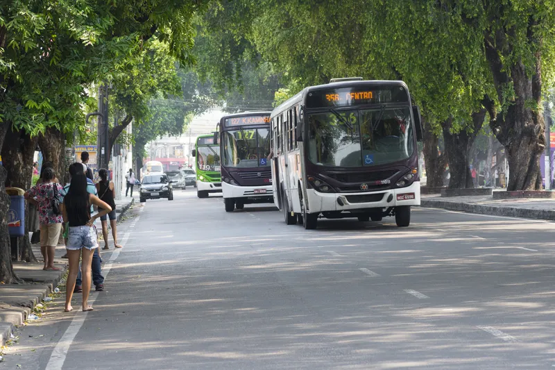
Millions of people rely on public transit to get around and since 2007 Google has worked to include public transit routes and schedules in Google Maps.
In its latest blog, Google says it makes it even easier to get around on public transport with the addition of public transport information for Vancouver, Chicago and every 2016 Olympic Games host city in Brazil.
David Tattersall, Google’s product manager, Public Transit says in his blog: “Our transit data spans six continents, 64 countries and more th
Millions of people rely on public transit to get around and since 2007 1691 Google has worked to include public transit routes and schedules in Google Maps.
In its latest blog, Google says it makes it even easier to get around on public transport with the addition of public transport information for Vancouver, Chicago and every 2016 Olympic Games host city in Brazil.
David Tattersall, Google’s product manager, Public Transit says in his blog: “Our transit data spans six continents, 64 countries and more than 15,000 towns and cities worldwide. And we’re not done yet: Google Maps will continue to improve—serving people the information they need to get around town when and where they need it.”
In the UK, a partnership between Google and5957 ITO World is providing comprehensive detail on all modes of public transport – including bus, coach, rail, tram, metro and ferry on more than 17,000 separate routes across England, Scotland and Wales.
The service is being powered by ITO World’s new data management platform, Transport DMP, which ITO World chief executive Peter Miller says “combines years of transport data knowledge and expertise with cutting-edge technological ‘know how’, allowing us to collate, aggregate and enrich data from various open sources before converting and serving it to our clients in the format they require.”
In its latest blog, Google says it makes it even easier to get around on public transport with the addition of public transport information for Vancouver, Chicago and every 2016 Olympic Games host city in Brazil.
David Tattersall, Google’s product manager, Public Transit says in his blog: “Our transit data spans six continents, 64 countries and more than 15,000 towns and cities worldwide. And we’re not done yet: Google Maps will continue to improve—serving people the information they need to get around town when and where they need it.”
In the UK, a partnership between Google and
The service is being powered by ITO World’s new data management platform, Transport DMP, which ITO World chief executive Peter Miller says “combines years of transport data knowledge and expertise with cutting-edge technological ‘know how’, allowing us to collate, aggregate and enrich data from various open sources before converting and serving it to our clients in the format they require.”