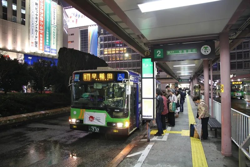
Papercast has deployed its e-paper passenger information bus stop displays in Tannheim, Austria, as part of a strategy to improve public transport service quality, by rolling out real-time service data to its passengers. The displays are designed with the intention of operating around the clock using solar power and providing 3G mobile network connectivity.
The solution is currently installed at Tannheim’s municipal office to measure passenger reaction and to define future requirements.
These displays are mains powered and are intended to stand-alone in more remote locations. Additionally, they are said to provide outdoor readability, even in direct sunlight conditions, and generate a low power consumption.
Alfred Messner, project manager at Bayer Schilder Gmbh, said: “Buses were recently equipped with GPS location tracking and the resulting real-time arrival data needed to be made available to customers. Not only will this significantly improve the passenger experience, but it will remove the burden of changing paper timetables. Papercast not only has the best technology available on the market, but it is an absolute pleasure to work with such an enthusiastic and competent team to plan and deploy the project in this remote area of Austria.”
Papercast displays piloted in Tannheim to improve bus services
Papercast has deployed its e-paper passenger information bus stop displays in Tannheim, Austria, as part of a strategy to improve public transport service quality, by rolling out real-time service data to its passengers. The displays are designed with the intention of operating around the clock using solar power and providing 3G mobile network connectivity. The solution is currently installed at Tannheim’s municipal office to measure passenger reaction and to define future requirements. These displays