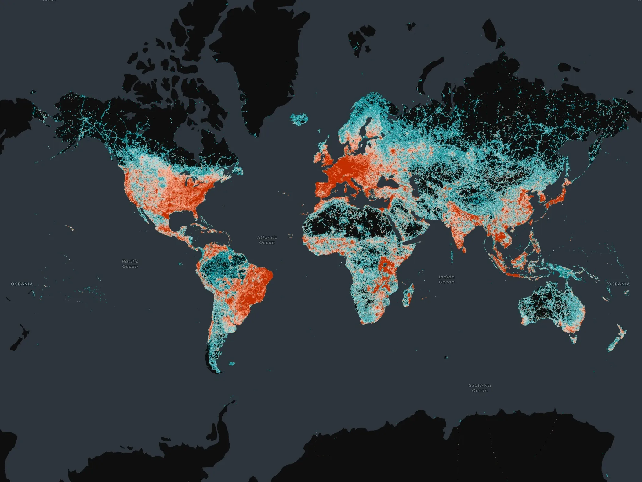
Overture Maps Foundation - founded in 2022 by Amazon Web Services, Meta, Microsoft and TomTom - has released its global transportation dataset for purchase.
The open-map dataset supports new and expanded use cases across a broad swathe of industries, including automotive, ride-sharing, logistics, navigation, local search and urban planning as well as disaster and humanitarian response.
The transportation dataset includes 86 million kilometres of roads worldwide. The release means the data and underlying schema – after much testing - is now stable and that developers can start using the data in applications.
Companies and application developers are expected to begin using the Overture Transportation dataset as a base for various applications. This dataset joins others from Overture, including buildings, places of interest, divisions (boundaries) and a base layer.
However, the organisation noted that its transportation dataset is potentially the most impactful in terms of potential use cases. It was by far the most complex to develop, given the interconnected network relationships within roads and the central importance of transportation to all other sectors.
“The transportation layer of Overture is an iconic map data layer used across a wide range of applications,” said executive director Marc Prioleau. “It is also the most complex and I’m pleased to see it hit the general availability[(ready-for-the-market phase of development] milestone so quickly."
"The team’s work now lets any application developer take advantage of this dataset and deliver services to businesses and consumers around the world. Overture data is built open and free for anyone to use, so we expect many innovative use cases across industries, organisations, geographies and future mapping efforts.”
What is in the Overture Transportation dataset?
The Transportation dataset includes detailed, accurate data from aerial imagery, clear road routes with recognisable highway signs, comprehensive rail and ferry route information and better handling of complex traffic rules and restrictions.
Overture said it built on data from the OpenStreetMap (OSM) community, then re-engineered the data structure to create a dataset that is more stable. With a documented schema, it is easier for app developers to use.
Overture’s additional work with the transportation data from OSM includes normalisation. All data in the Overture Transportation dataset now adheres to a common set of attributes to ensure uniformity. For instance, features including right turns and speed limits are consistently represented in one standard format throughout.
Normalisation makes it easier and more reliable to analyse, interpret and use the data, allowing developers to build either open or proprietary applications on top of the Overture base layer. Overture also validates and verifies the underlying OSM data.
The Overture Transportation dataset will be updated continuously to make it better and more complete. Going forward, updates and improvements to the map data will also leverage AI and other sources of open data.
Next-generation map products will enable a broad range of goods and services, and Overture said it is on the leading edge of developing the open map data that will underpin that innovation.
Overture members combine resources to build map data that is complete, accurate and refreshed as the physical world changes. Map data will be open and extensible by all under an open data licence.


