
NoTraffic widens congestion relief in Maryland

State-wide roll-out follows success in Baltimore deployment
By Adam Hill December 5, 2024 Read time: 2 mins
Baltimore junction, with the city behind (© Jon Bilous | Dreamstime.com)

NoTraffic has received approval from the Maryland Department of Transportation (MDoT) to deploy its intersection safety and optimisation technology throughout the US state.

The roll-out builds on deployments - completed in October - at five intersections in the city of Baltimore, which was experiencing gridlock "due to unexpected disruptions and rerouting", NoTraffic says.

Traffic control and safety systems integrator Blackstar Diversified Enterprises (BDE) collaborated with NoTraffic to secure approval from MDoT for a statewide expansion of the technology. 

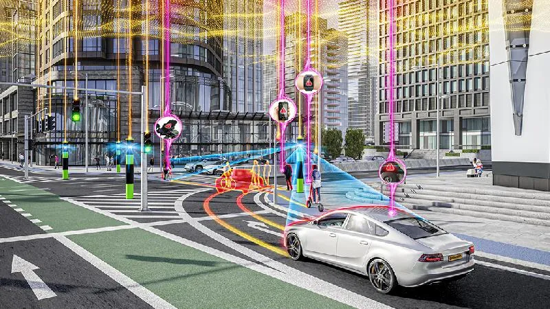
The mobility management platform leverages AI and edge computing to retrofit signalised intersections into what the firm calls a "fully automated, cloud-connected hub". 

Taking two hours to install, the platform can classify all road users including private vehicles, public transportation, emergency services and pedestrians - and respond to traffic conditions in real-time to reduce travel times and CO2 emissions and improve safety. 

It is currently operating in more than 30 states, including California, Texas, Pennsylvania, Colorado, Florida and Georgia as well as parts of Canada. 

Tal Kreisler, CEO and co-founder of NoTraffic, called it the MDoT deal a "major milestone".

“Our ongoing deployments in Baltimore showcase the tremendous advantages that traffic technology provides," he adds. "As roadways face increasing challenges like roadwork, accidents and weather disruptions, this approval paves the way for scaling our adaptable mobility platform nationwide, ensuring communities everywhere benefit from safer, more efficient infrastructure.” 

For more information on companies in this article

Related Content

  • Bridging the highway travel information gap
    March 14, 2012
    A new traffic management solution is attempting to bridge the gap in information available on freeways and arterial roadways. Andrew Bardin Williams reports. Agencies responsible for national networks of roads around the world have the ability to measure, analyse and disseminate accurate travel information to drivers. Millions of dollars go into data collection infrastructure to collect traffic congestion and travel time information on major freeways or highways. For example, a driver on the I-210 in the Lo
  • Applied Information’s app gets Marietta connected
    October 26, 2017
    Must the benefits of connected vehicle technology wait for a generation of new or retrofitted vehicles? The US city of Marietta is about to find out. Can connected vehicle functionality be delivered via a smartphone? Well, in Marietta, Georgia, they are about to answer that question. The city is testing a smartphone app which warns motorists of nearby cyclists and pedestrians, approaching first responders, wrong-way driving, entering active school zones and much more.
  • Continental presents collision warning tech 
    October 19, 2021
    Collision warning is integrated into the vehicle functions to warn drivers
  • Esri maps cause and effect
    September 26, 2024
    The work of the Connecticut Transportation Safety Research Center means engineers can concentrate on developing more effective safety measures, rather than having to sort out raw crash data