
North Carolina moves ahead with Moovit

US city of Burlington's transport users can also access Uber in app
By David Arminas May 21, 2025 Read time: 2 mins
© Tea | Dreamstime.com

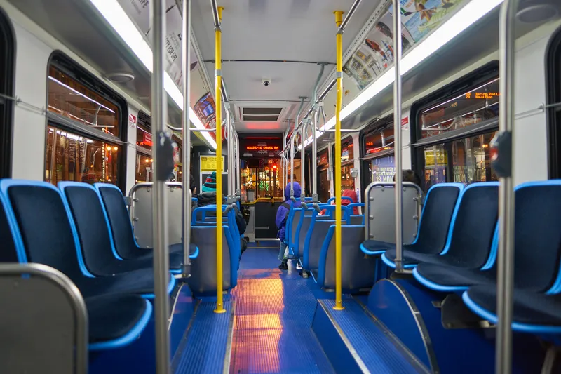
Commuter app Moovit is now being used by Link Transit, the regional public transportation provider centred in Burlington in the US state of North Carolina.

Burlington public transit riders can plan, pay and navigate journeys in the Moovit app.

Link Transit operates five fixed routes and a door-to-door demand response service for persons with disabilities, which is available in Burlington, Gibsonville, Elon, Mebane and to and from Alamance County Office Building and Courthouses and Alamance Community College.

Moovit’s iOS, Android and Web apps, introduced in 2012, allow users to get to their destination using any mode of public and shared transportation. Transit riders can benefit from mobile ticketing to plan, pay and ride with transit services. Moovit says that its app now serves over 1.5 billion users in more than 3,500 cities across 112 countries in 45 languages.

Moovit users also have access to premium features such as Live Vehicle Tracking. Moovit guides people in getting around using public transport, including being able to plan, pay for and navigate journeys with real-time arrival information. The app provides users with multimodal journey planning with real-time arrival information so they know when their bus is arriving, a Live Directions feature with deboard alerts and Service Alerts to avoid disruptions.

Moovit has also integrated Uber, allowing users to plan and navigate Burlington and beyond. Riders can view the live location of Link vehicles via icons moving across the map in real-time, providing users greater insight into their route’s progress.

“Moovit provides Link Transit riders free access to some of Moovit’s best features,” said John Andoh, transit manager for the city of Burlington, the administrators of Link Transit. “They can plan a trip, pay for a trip, track a trip and book Uber rides when Link Transit services are unavailable. Passengers will soon be able to book and cancel paratransit trips with Moovit.”

“By offering journey planning and payment and premium features with an ad-free experience, we are making public transit more accessible, efficient and user-friendly for Burlington residents and visitors alike,” said Gil Balog, chief operations officer at Moovit. 

For more information on companies in this article

Related Content

  • Integrated public transport systems ‘make travel easier and more affordable’
    April 9, 2015
    Streamlining schedules, stops, fares, and passenger information among subways, buses and commuter rail, will make it easier for passengers, cut down on operational costs and boost operational revenue, according to a new World Bank paper published today, Public Transport Service Optimisation and System Integration. The paper, which is part of the China Transport Notes Series produced by the World Bank in Beijing to share experiences about the transformation of the Chinese transport sector, claims lack of
  • Iteris unveils real-time traffic video mobile app
    March 2, 2020
    Iteris has launched a mobile app that streams real-time video and data from intersections equipped with its Vantage Edge or Vantage Radius video detection systems.
  • Uber adds Delhi’s public transport information to app
    November 11, 2019
    Uber has launched its journey planning feature ‘Public Transport’ in New Delhi in a move which integrates its app with the Indian city’s metro and bus services. Uber says riders will be provided with the fastest and cheapest routes, and real-time schedules – including departure times for public transport and walking directions to and from metro stations and bus stops. The announcement follows an agreement for Uber to provide mobility services across 210 Delhi Metro Rail Corporation (DMRC) stations. Uber
  • Jam buster and parking finder for Abu Dhabi
    March 20, 2014
    Abu Dhabi Department of Transport has completed a US$2.45 million system that will provide real-time information on traffic congestion, route guidance and other conditions via smartphones, the internet and navigation devices in cars. The Integrated Transport Information and Navigation System (i-TINS) collects real-time data from different sources – road side systems such as traffic counting systems and travel time measurement systems and central sub-systems such as taxi and bus GPS-based tracking systems