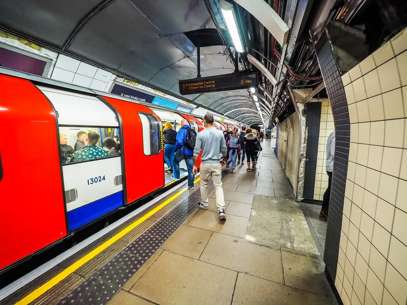
Moovit helps guide visually-impaired transit riders

Moovit has partnered with remote assistance app Aira and Microsoft Azure Maps to help make public transit more accessible for blind and low-vision riders.
January 14, 2020 Read time: 1 min
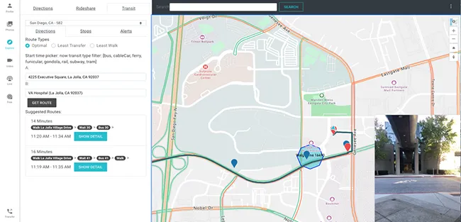
Moovit says Aira’s mobile app or smart glasses allow Aira agents to see a user’s environment through their smartphone camera. This partnership is expected to assist agents in helping users navigate public transit more effectively, with better real-time data.

Azure Maps will provide agents with access to navigational tools while Moovit’s transit application programming interfaces will offer information on multimodal trip planning and transit routes, the company adds.

Yovav Meydad, Moovit’s chief growth and marketing officer, says the solution will “open opportunities for riders to travel more freely and independently, significantly impacting their life”.

Related Content

  • Via boosts transit options in Miami-Dade
    October 29, 2020
    Each vehicle accepts three passengers to maintain social distancing
  • Changing roles in data collection for traffic management
    January 23, 2012
    Transport for Greater Manchester's David Hytch discusses the evolving roles of the public and private sector in managing and disseminating data. Data services for traffic management were once the sole preserve of public sector organisations, they being uniquely placed and equipped for the work involved. Now, though, this is changing. There is even a presumption in some countries that the private sector will take a greater, if not actually a lead, role in the provision of information for transport management
  • MaaS by any other name
    February 6, 2020
    Has the roll-out of Mobility as a Service stalled - or could it just be that multimodal travel is simply happening under a variety of different names?
  • Real time passenger information now available
    December 1, 2014
    New York State’s Capital District Transportation Authority (CDTA) Board of Directors is to roll out a real time passenger information (RTPI) pilot program for its fleet of fixed route buses, using automatic vehicle location (AVL) software to determine bus location and speed. Customers will be able to access real time transit information for CDTA fixed route services through the free CDTA iride mobile application for Apple and Android devices, through Google Maps’ mobile apps and maps.google.com, through