Marwis mobile road sensor on display by Lufft

German measurement technology specialist, G. Lufft is here at the ITS World Congress with a clear message: although stationary road weather information sensors have been in use for many years, even the densest RWIS network can’t cover what Marwis, the innovative mobile road sensor, is capable of.
October 6, 2015 Read time: 2 mins
Nouredine Hafsaoui of Lufft with the mobile weather sensor

German measurement technology specialist, G. 6478 Lufft is here at the ITS World Congress with a clear message: although stationary road weather information sensors have been in use for many years, even the densest RWIS network can’t cover what Marwis, the innovative mobile road sensor, is capable of.

Marwis transforms vehicles into mobile weather stations and delivers data in high-speed. This enables winter service vehicles, school buses, airports and potentially every driver to enhance safety and get reliable information on different surfaces. The sensor detects water film on the road, ice percentage, road status, friction, temperatures and more, providing total control over a route, in terms of safety and of time.

The measuring principle of Marwis is based on the principle of the NIRS31, introduced in 2011. Since then it has also been offered in the embedded passive IRS31-UMB and the active ARS31Pro-UMB sensor. The NIRS31-UMB was the first contactless road weather sensor from Lufft capable of analysing the road below safely from a distance of up to 16 metres. As the company points out, this is especially useful for bridges where the road surface temperatures are cooler than the adjoining road surface and invasive systems require installation bases that are too deep.

“The perfect supplement for our mobile road sensors is our WS700-UMB multifunction weather sensor because it addresses so many needs within one casing,” says Nouredine Hafsaoui. “As visitors to our stand will see, it requires only one cable connection and combines sensors for the detection of air temperature, relative humidity, precipitation intensity and type, air pressure, wind direction, wind velocity and global radiation."

For more information on companies in this article

Related Content

  • Virtual surveying boosts efficiency in Utah DOT
    June 12, 2015
    Overlaying a geographic information system with data from a new surveying system is paying dividends for Utah DOT. While building new roads tramways, metros and bicycle paths or installing smart systems to control traffic is the high-profile end of transportation planning and management, ensuring existing infrastructure and systems are serviceable and working is arguably more important. After all, at any given point the existing infrastructure will always carry more vehicles than new.
  • Weigh in Motion gets smarter
    January 4, 2023
    Weigh in Motion technology is at the forefront of protecting road surfaces and helping enforcement activity – but could it also play a key role in the development of Smart Cities?
  • Network Optix will showcase the future of transportation infrastructure management
    April 28, 2025


    Step into the future of transportation infrastructure management at the Seville ITS European Congress by visiting the Network Optix stand. The company will use the event to proudly present Nx Go, its award-winning video infrastructure software, now revolutionising the transportation industry.

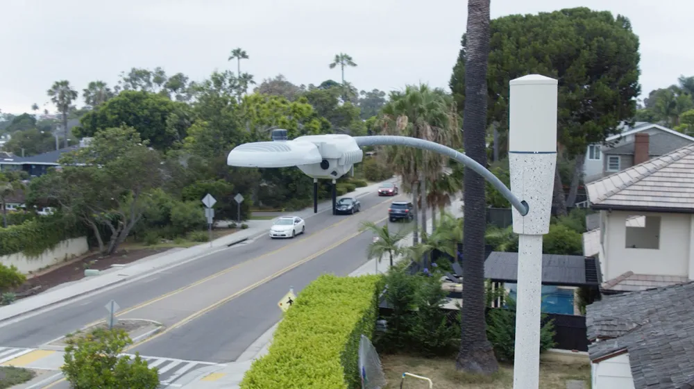
  • San Diego: Let there be (street)light
    March 30, 2020
    The influence of intelligent streetlights is spreading. David Crawford finds that San Diego’s deployment – and attendant legislation – may offer a blueprint for other cities going forward