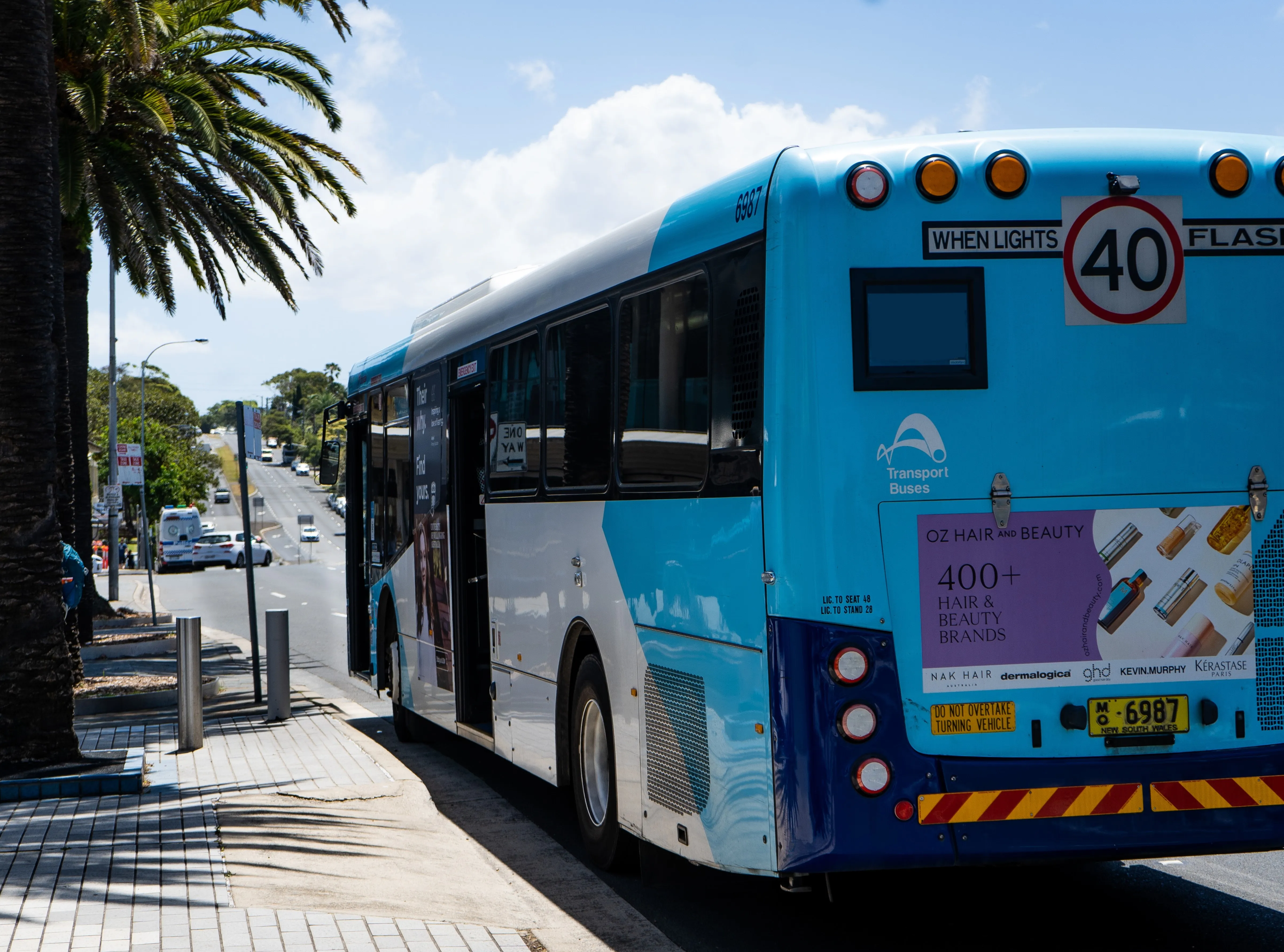
Following many years of planning, the Luton and Dunstable guided busway is now open to the public. The US$146 million project will provide a reliable and efficient 15 minute public transport link between the two main town centres. Overall, the route involves over 10 kilometres of segregated bus-only road from Luton Airport through Dunstable to Houghton Regis in Bedfordshire.
Following many years of planning, the Luton and Dunstable guided busway is now open to the public. The US$146 million project will provide a reliable and efficient 15 minute public transport link between the two main town centres. Overall, the route involves over 10 kilometres of segregated bus-only road from Luton Airport through Dunstable to Houghton Regis in Bedfordshire.
A 7.5 kilometre section of the busway is ‘guided’, using the disused Luton-Dunstable railway corridor, through which buses will use a fixed corridor formed from six metre long precast concrete beams. This allows standard buses, fitted with two small guide wheels, to join and leave the track, and travel on it in both directions smoothly and safely at speeds of up to 50 miles per hour.
Designed and built for Luton Borough Council and Central Bedfordshire Council by a joint venture comprising4983 Parsons Brinckerhoff, Arup and Bam Nuttall, the innovative transportation project will relieve traffic congestion in the region through the provision of a dedicated route for public transport.
The work included the construction of seven new bridges and refurbishment/reconstruction of three bridges along the route, the construction of four new high specification bus stops and a major bus interchange at Luton railway station - resulting in links to Luton town centre, the railway network and providing easy access to Luton airport.
A 7.5 kilometre section of the busway is ‘guided’, using the disused Luton-Dunstable railway corridor, through which buses will use a fixed corridor formed from six metre long precast concrete beams. This allows standard buses, fitted with two small guide wheels, to join and leave the track, and travel on it in both directions smoothly and safely at speeds of up to 50 miles per hour.
Designed and built for Luton Borough Council and Central Bedfordshire Council by a joint venture comprising
The work included the construction of seven new bridges and refurbishment/reconstruction of three bridges along the route, the construction of four new high specification bus stops and a major bus interchange at Luton railway station - resulting in links to Luton town centre, the railway network and providing easy access to Luton airport.