Dublin-based start-up Luna has released a telematic device which it says uses 10cm-level positioning accuracy to help scooter companies ensure their scooters are ridden and parked correctly.
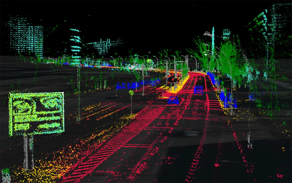
The device uses GNSS/GPS positioning with an integrated correction service to achieve this accuracy. It also uses machine vision and artificial intelligence (AI) to recognise parking spaces in GPS blackspots via 2D images (QR codes) located in and around the site, the company adds.
According to Luna, the device augments satellite-based positioning with machine vision and AI to overcome GPS blackspots while moving. The unit’s street Vs pavement algorithm allows the scooter camera to analyse the surface it is riding in real-time.
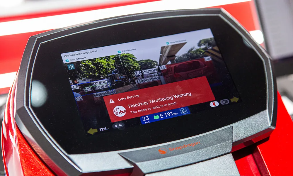
Luna’s safety features include obstacle/footpath recognition to prevent pedestrian collisions as well as helmet detection to ensure scooters can only be operated once a rider is wearing their helmet.
Luna’s CEO Andrew Fleury says: “Safety and rider behaviour has always been the crux of the problem - not just accidents on the road, but pedestrian hazards from careless riding on footpaths and tripping hazards from scooters abandoned in random locations in between rentals.”
“Our technology will address all of these issues by providing a much more accurate means to locate scooters,” he adds.
Luna unveils ‘cm-level’ positioning for e-scooters
Dublin-based start-up Luna has released a telematic device which it says uses 10cm-level positioning accuracy to help scooter companies ensure their scooters are ridden and parked correctly.
The device uses GNSS/GPS positioning with an integrated correction service to achieve this accuracy. It also uses machine vision and artificial intelligence (AI) to recognise parking spaces in GPS blackspots via 2D images (QR codes) located in and around the site, the company adds.
According to Luna, the device aug