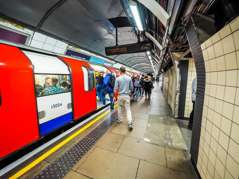
London has come out on top of an analysis of the performance of several major cities in providing open data on transport and mapping.
The Future Spaces Foundation, a charity that studies living spaces, has said in its Vital Cities: Transport Systems Scorecard that London’s record of providing open access to real time transport data is the best example of data sharing.
The Scorecard analyses the transport networks of 12 cities around the world on indicators ranging from breathability to the density of
May 16, 2016
Read time: 2 mins
London has come out on top of an analysis of the performance of several major cities in providing open data on transport and mapping.
The Future Spaces Foundation, a charity that studies living spaces, has said in its Vital Cities: Transport Systems Scorecard that London’s record of providing open access to real time transport data is the best example of data sharing.
The Scorecard analyses the transport networks of 12 cities around the world on indicators ranging from breathability to the density of cycle and pedestrian networks to the use of data and apps.
London scored top marks for facilitating the creation of multi-modal apps with the open availability of its live transit feeds. But it came second to Singapore in converting data into the most user-friendly and informative travel apps.
The research found that there is still room for developers in London and elsewhere in the world to improve the services they offer by taking their lead from Singapore’s Land Transport Authority, which provides its own web and mobile based route planning tool and app. It includes features not yet available in London, such as information about standing and seating room on public transport, as well as disabled access and the availability of parking spaces close to the passenger’s chosen destination.
1466 Transport for London recently announce plans for the release of new groups of open data feeds, taking in the London Trams network and historical crowding data from the Underground.
In light of the research, the Future Spaces Foundation is calling on governments all over the world to implement effective open data policies that encourage everyone – including web and app developers, residents and tourists – to make use of the data available.
The Future Spaces Foundation, a charity that studies living spaces, has said in its Vital Cities: Transport Systems Scorecard that London’s record of providing open access to real time transport data is the best example of data sharing.
The Scorecard analyses the transport networks of 12 cities around the world on indicators ranging from breathability to the density of cycle and pedestrian networks to the use of data and apps.
London scored top marks for facilitating the creation of multi-modal apps with the open availability of its live transit feeds. But it came second to Singapore in converting data into the most user-friendly and informative travel apps.
The research found that there is still room for developers in London and elsewhere in the world to improve the services they offer by taking their lead from Singapore’s Land Transport Authority, which provides its own web and mobile based route planning tool and app. It includes features not yet available in London, such as information about standing and seating room on public transport, as well as disabled access and the availability of parking spaces close to the passenger’s chosen destination.
In light of the research, the Future Spaces Foundation is calling on governments all over the world to implement effective open data policies that encourage everyone – including web and app developers, residents and tourists – to make use of the data available.


