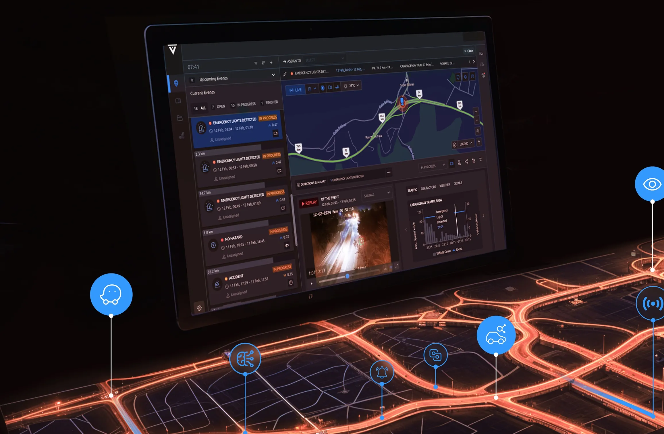
People in the UK county of Buckinghamshire can now use an Apple iPhone to photograph and report a pothole, loose paving, broken bollard or faulty street light. Developed by Masternaut for Transport for Buckinghamshire (TfB), the app captures a digital image of the defect with its geolocation and transmits it back to highway maintenance teams. This gives highways managers important information direct from the scene, which helps with managing response levels and providing better service.
"Using this app, i
April 19, 2012
Read time: 2 mins
People in the UK county of Buckinghamshire can now use an 493 Apple iPhone to photograph and report a pothole, loose paving, broken bollard or faulty street light. Developed by 748 Masternaut for 1880 Transport for Buckinghamshire (TfB), the app captures a digital image of the defect with its geolocation and transmits it back to highway maintenance teams. This gives highways managers important information direct from the scene, which helps with managing response levels and providing better service.
"Using this app, iPhones provide much more detailed information than a standard telephone call or email. Buckinghamshire residents who have these smartphones are our eyes on the street. They help us to review the nature of the problem and see its location. We would normally have to visit the scene to get this level of intelligence before deciding on a course of action," says Marc Evans, ICT Systems Manager.
Transport for Buckinghamshire is a partnership between Buckinghamshire County Council and highway infrastructure services provider4931 Ringway Jacobs. The app augments the TfB award winning online Service Information Centre, a special website that incorporates live data feeds from Masternaut's real-time vehicle tracking and mobile service management software
"Using this app, iPhones provide much more detailed information than a standard telephone call or email. Buckinghamshire residents who have these smartphones are our eyes on the street. They help us to review the nature of the problem and see its location. We would normally have to visit the scene to get this level of intelligence before deciding on a course of action," says Marc Evans, ICT Systems Manager.
Transport for Buckinghamshire is a partnership between Buckinghamshire County Council and highway infrastructure services provider


