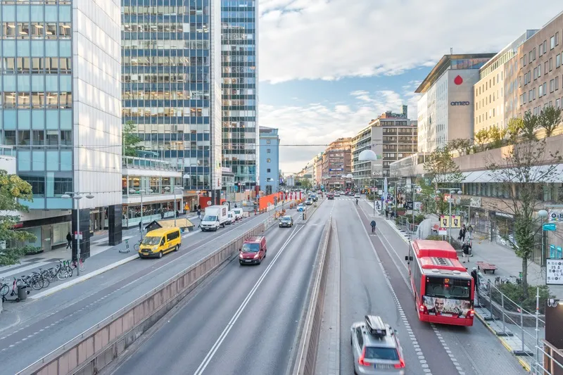
Indra deploys traffic monitoring system to improve mobility, Kuwait

Indra has created a new traffic control centre in Kuwait equipped with its smart traffic and tunnel management platform, Horus, to present a graphic format of collected traffic data to operators and citizens. Analysis of the data is designed with the intention ascertaining commuter patterns or traffic growth, plan traffic infrastructures and develop new mobility laws and legislation.
December 15, 2017 Read time: 2 mins
509 Indra has created a new traffic control centre in Kuwait equipped with its smart traffic and tunnel management platform, 7541 Horus, to present a graphic format of collected traffic data to operators and citizens. Analysis of the data is designed with the intention ascertaining commuter patterns or traffic growth, plan traffic infrastructures and develop new mobility laws and legislation.  


The platform combines and integrates real-time information from over 200 permanent traffic sensors deployed and 3,000 mobile sensors, installed at various locations across the Country.

Through Geographic Information Systems (GIS), it displays all the traffic information gleaned and validated by the control centre on an interactive map. The website can provide different agencies responsible for mobility or other public entities over 2,000 types of different traffic reports.

Kuwait’s emergency and law enforcement services can use the information to respond to incidents in a more coordinated manner.

Citizens can access the website and can check the status of traffic on their mobile devices along the two main arteries to enter and exit downtown Kuwait City as well as view estimated travel times.

The implemented technologies enable analysis of service levels on road networks, and traffic flows at intersections such as circles, crossings, junctions and transport hubs or points where traffic is backed up. Weighing systems are designed to monitor the transport of goods to gain a greater oversight on vehicle weights and their effects, primarily on roadbed wear and tear. These solutions provide authorities with the means to optimize the scheduling of maintenance and resurfacing and create legislation? for roadbed design.

For more information on companies in this article

Related Content

  • Personal sensor moves smart cities forward
    December 1, 2020
    Open-seneca is a portable air quality monitor designed to pinpoint emission hotspots and drive behavioural change - and Swedish capital Stockholm is trying it out, writes Adam Hill
  • Atlanta launches Smart Corridor demonstration project
    September 15, 2017
    The City of Atlanta, Georgia, in partnership with the Georgia Department of Transportation (GDOT) and Georgia Tech, has launched a smart city project on a major east-west artery in the city. The North Avenue Smart Corridor demonstration project, funded by the Renew Atlanta Infrastructure Bond, will deploy the latest technology in adaptive signal systems for a safer, more efficient flow of transit, personal vehicles, cyclists and pedestrians
  • Smart cameras offer real-time alerts
    April 10, 2014
    Intelligent traffic cameras open up a host of possibilities for traffic planners and controllers alike. If traffic management centres (TMCs) around the world are to cope with the increasing demands of growing traffic flows while maintaining or improving transport safety and efficiency, then video monitoring will have to be supplemented by automated warnings of incidents or deviations. According to Patrik Anderson, business development director at Swedish camera manufacturer Axis Communications, it is no
  • Greater Manchester gets enhanced signage
    April 15, 2014
    Transport for Greater Manchester (TfGM) and Swarco Traffic are working together on a scheme funded by the Department for Transport under the Local Sustainable Transport Fund (LSTF) to provide enhanced driver information on roads around Greater Manchester. The scheme is part of the wider LSTF initiative being undertaken by TfGM to enhance network management and provide accurate real time traveller information to the public through a wide variety of media. Full colour matrix variable message signs (VM