Image Sensing Systems premiers integrated radar and Bluetooth sensor

Image Sensing Systems (ISS) is here at ITS America 2016 San Jose to introduce the RTMS Sx-300 with integrated Bluetooth sensor to its traffic management product line. The device is a powerful tool that agencies can use to better manage traffic. ISS says the combination of the RTMS radar with the robust Bluetooth sensor is the ideal solution for incident detection and providing traffic managers with highly accurate travel time and origin/destination information.
June 13, 2016 Read time: 2 mins
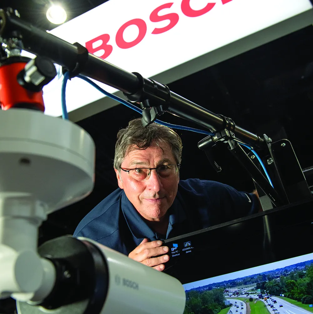
Mike Ouellette of Image Sensing Systems

6626 Image Sensing Systems (ISS) is here at ITS America 2016 San Jose to introduce the RTMS Sx-300 with integrated Bluetooth sensor to its traffic management product line. The device is a powerful tool that agencies can use to better manage traffic.

ISS says the combination of the RTMS radar with the robust Bluetooth sensor is the ideal solution for incident detection and providing traffic managers with highly accurate travel time and origin/destination information.

This integrated Bluetooth sensor detects the Bluetooth signals from vehicles and handheld mobile devices.

According to the company, the Sx-300 is renowned for longterm worry-free reliability; is backed by a five-year warranty; provides robust lane-by-lane detection capabilities as well as the accuracy needed to help reduce congestion.

“We are thrilled to introduce the RTMS Sx-300 BT to our vehicle detection portfolio,” said Dan Skites, global general manager for Highway Sensors.

“The incorporation of spatial probe data into a radar detector is unprecedented. Our highaccuracy radar traffic data, combined with probe data from the Bluetooth sensor, provides a comprehensive view of traffic with richer data than other traffic detectors. This latest addition to our offering of sensors continues to provide traffic management experts increasing data fidelity to help them make precise decisions to manage their traffic,” adds Skites.

ISS, which has signed an agreement with 6771 Trafficnow, the developers of Bluetooth sensors for the traffic management sector, says it works diligently to identify innovative technologies that complement its technology portfolio.

“The marriage of these two technologies is a dynamic combination,” says Skites.

“Traffic management professionals can now rely on the most accurate real-time data and analytics by turning their data into actionable, usable information.”

For more information on companies in this article

Related Content

  • Gridsmart and Wave demo DSRC V2X Vision Zero
    June 13, 2016
    Gridsmart Technologies and Wave Mobile Solutions are hosting a DSRC V2X Vision Zero demo during ITS America 2016 San Jose that will show how intelligent technology can be used to prevent traffic incidents, improve safety for vehicles and pedestrians, and identify problematic locations.
  • Data exploits parking potential
    March 11, 2015
    David Crawford parallel parks with innovations in two continents. Surveys of US cities indicate that drivers searching for parking can account for up to 37% of all urban traffic congestion. A 2011 study by IBM of 20 cities around the world found that nearly six out of ten drivers had abandoned their search for a parking space at least once; while motorists generally spent on average 20 minutes looking for a sought-after spot.
  • Bosch brings real-time safety to life
    September 19, 2022
    Visitors will have an opportunity to see how Bosch’s video-as-a-sensor technology enables real-time safety solutions for ITS.
  • Wireless sensor data is saving lives, says Sensys Networks
    September 7, 2020
    ITS World Congress provides a unique opportunity to examine the latest innovative uses of traffic technology. One trend is the increased use of detection data - presence, volume, occupancy, and speed - to power dynamic information for drivers. And the benefits of this data go well beyond traffic information within mapping and navigation systems that are used by motorists to get to their destinations efficiently. This data can help save lives.