Here Technologies to map Dubai with HD technology for driverless technology

The Roads and Transport Authority (RTA) of Dubai and Here Technologies (Here) have signed a memorandum of understanding to map the city with high definition (HD) technology as part of a strategy to make 25% of public transport self-driving by 2030. Both companies will deploy location technologies in the development of a data infrastructure to help support safe, sustainable and efficient autonomous transportation. The partners intend to utilise Here’s map for autonomous cars, HD Live Map, for public
February 12, 2018 Read time: 2 mins

The Roads and Transport Authority (RTA) of Dubai and 7643 Here Technologies (Here) have signed a memorandum of understanding to map the city with high definition (HD) technology as part of a strategy to make 25% of public transport self-driving by 2030. Both companies will deploy location technologies in the development of a data infrastructure to help support safe, sustainable and efficient autonomous transportation.

The partners intend to utilise Here’s map for autonomous cars, HD Live Map, for public service vehicles. It is designed with the intention of providing vehicles with accurate information about what is happening on the road.

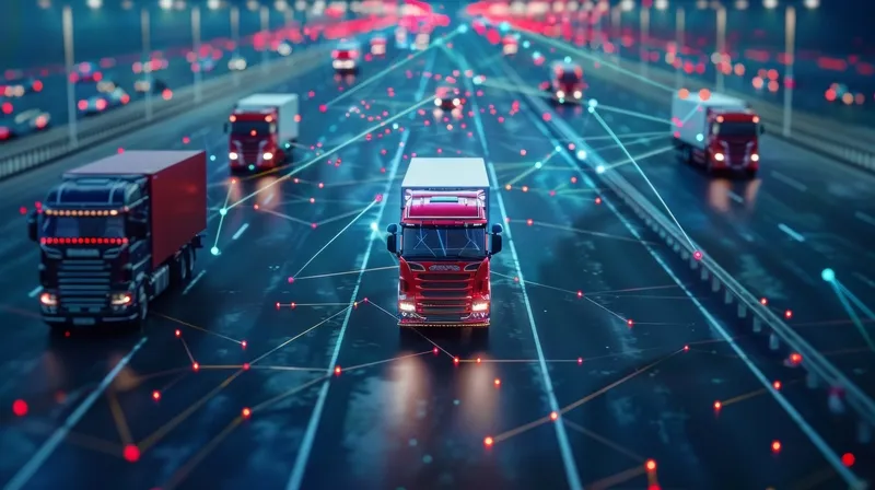
Here’s Open Location Platform will be used to connect vehicles with each other as well as traffic lights and sensors on the roadways and sidewalks. The solution is said to enable multiple automakers and other organisations and sources to transmit live, anonymized sensor data that can be aggregated and enriched with high-precision location data. It is then transmitted back to the cars in near real-time, geo-targeted, contextually-relevant information about changing road conditions.

Leon van de Pas, SVP, Internet of Things at Here, said: “Dubai recognizes the importance of new location technologies in making transportation more efficient, safer and sustainable for people. Driven by our vision of enabling an autonomous world for everyone, the Here Technologies team is excited and energized to help Dubai deliver on its ambition plans for a driverless future.”

For more information on companies in this article

Related Content

  • Drone captures map of EastLink tunnel for self-driving car trials
    April 9, 2018
    EastLink has used an aerial drone from Telstra to capture a Lidar map for its Mullum Mullum tunnel in Australia to help support safe trials of fully self-driving cars. Doug Spencer-Roy, EastLink’s corporate affairs and marketing manager, said that trial sites need to be mapped in high resolution to allow self-driving car prototypes to be conducted under controlled conditions to test their safe operation. Additionally, the process can also support the company’s maintenance activities, by allowing the deta
  • Flow Labs partners with Geotab ITS
    July 24, 2024
    Contextual fleet & freight data will help traffic safety, sustainability & performance
  • Bentley adds open API for Blyncsy
    July 21, 2025
    New API provides access to the crowdsourced dash camera imagery
  • Jenoptik uses sensor fusion to avoid monitoring confusion
    January 26, 2018
    Jenoptik’s Uwe Urban looks at the advantages of ‘sensor fusion’ for the ITS sector. When considering the ideal sensing and monitoring system to enable the ITS sector to deliver improvements in mobility and road safety, for general policing security and border protection, we have to think beyond radar-base systems or laser scanners. What is needed today are solutions for detecting and tracking vehicles while recording evidence to deacide if any action is necessary. There is no sole sensor capable of