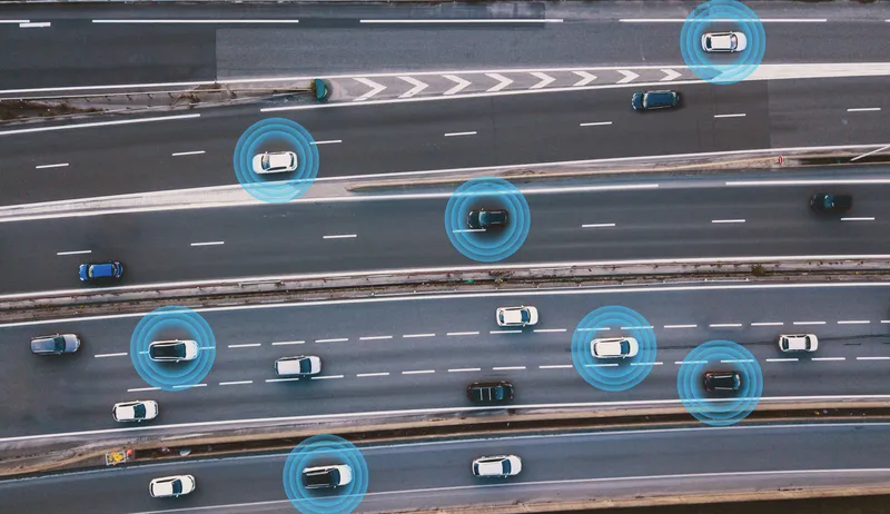
Here launches Digital Transportation Infrastructure platform

Here, a leader in navigation, mapping and location experiences, is launching a new platform called Digital Transportation Infrastructure that provides cost-effective, interoperable analytical software and E2E integration services for Cooperative Intelligent Transportation (C-ITS). That new platform is a main showcase for the company here at the ITS World Congress.
October 6, 2015 Read time: 2 mins
Bernd Fastenrath of Here presents the new platform

7643 Here, a leader in navigation, mapping and location experiences, is launching a new platform called Digital Transportation Infrastructure that provides cost-effective, interoperable analytical software and E2E integration services for Cooperative Intelligent Transportation (C-ITS). That new platform is a main showcase for the company here at the ITS World Congress.

The team has just started work on a three-year pilot in Finland to devise a road hazard warning system utilising its location cloud. Using LTE networks and real drivers, it’s the first pilot that meets the requirements of the European ITS directive.

Precise maps and connected data analytics hold the key to ITS. As Here points out, a city in motion generates a tremendous quantity of data, yet for the most part these data are still untapped and their potential value not fully leveraged. They are likely not shared with a broad network and probably not examined in a wider context with other data.

Visitors to the company’s stand here at the ITS World Congress won’t have any problem understanding those messages: an eye-catching 3D city model is the focal point of the Here stand which is enabling the company to demonstrate how it is taking advantage of recent innovations in connectivity and location analytics to not only combine data flowing from vehicles, devices and infrastructure, but to analyse and make use of them in real time.

Here envisions a highly precise living map of our cities and road networks, with ‘location’ acting as the bond that unites data flowing from all these different sources. Such a living map is vital if cities, governments and automakers want to move towards greater automation in transportation and mobility.

For more information on companies in this article

Related Content

  • Transport in the round
    October 13, 2015
    The ITF’s Mary Crass tells Colin Sowman why future transport demands will require governments to overcome the silo effect of individual single-modal authorities. The only global multimodal transport policy organisation,” is how Mary Crass describes the International Transport Forum (ITF), which is housed at the Organisation for Economic Cooperation and Development (OECD). As head of policy and summit preparation at the ITF she says: “All other organisations are either regional or have a modal focus, we cove
  • Haas Alert and Monotch go Dutch
    April 15, 2024
    Haas will deliver in-car safety messages from Monotch’s TLEX-based national platform
  • Stop thinking and act on cooperative infrastructures
    February 2, 2012
    OmniAir's Tim McGuckin looks at why metropolitan transportation networks might be the key to securing the long-term funding of cooperative infrastructure
  • Improving the positional accuracy of GNSS road user charging
    July 23, 2012
    The European GINA project is intended to address and overcome many of the institutional, technical and public acceptance hurdles currently faced by satellite-based road user charging schemes. Dave Tindall and Denis Naberezhnykh, TRL, and Laure Dezes, ERF, write. Pay-as-you-drive Road User Charging (RUC), whereby demand (or congestion) is managed by applying appropriate tariffs in order to encourage drivers to make their journeys at less busy times, on less congested routes or even on different modes, could