Here launches Digital Transportation Infrastructure platform

Here, a leader in navigation, mapping and location experiences, is launching a new platform called Digital Transportation Infrastructure that provides cost-effective, interoperable analytical software and E2E integration services for Cooperative Intelligent Transportation (C-ITS). That new platform is a main showcase for the company here at the ITS World Congress.
October 6, 2015 Read time: 2 mins
Bernd Fastenrath of Here presents the new platform

7643 Here, a leader in navigation, mapping and location experiences, is launching a new platform called Digital Transportation Infrastructure that provides cost-effective, interoperable analytical software and E2E integration services for Cooperative Intelligent Transportation (C-ITS). That new platform is a main showcase for the company here at the ITS World Congress.

The team has just started work on a three-year pilot in Finland to devise a road hazard warning system utilising its location cloud. Using LTE networks and real drivers, it’s the first pilot that meets the requirements of the European ITS directive.

Precise maps and connected data analytics hold the key to ITS. As Here points out, a city in motion generates a tremendous quantity of data, yet for the most part these data are still untapped and their potential value not fully leveraged. They are likely not shared with a broad network and probably not examined in a wider context with other data.

Visitors to the company’s stand here at the ITS World Congress won’t have any problem understanding those messages: an eye-catching 3D city model is the focal point of the Here stand which is enabling the company to demonstrate how it is taking advantage of recent innovations in connectivity and location analytics to not only combine data flowing from vehicles, devices and infrastructure, but to analyse and make use of them in real time.

Here envisions a highly precise living map of our cities and road networks, with ‘location’ acting as the bond that unites data flowing from all these different sources. Such a living map is vital if cities, governments and automakers want to move towards greater automation in transportation and mobility.

For more information on companies in this article

Related Content

  • Data exploits parking potential
    March 11, 2015
    David Crawford parallel parks with innovations in two continents. Surveys of US cities indicate that drivers searching for parking can account for up to 37% of all urban traffic congestion. A 2011 study by IBM of 20 cities around the world found that nearly six out of ten drivers had abandoned their search for a parking space at least once; while motorists generally spent on average 20 minutes looking for a sought-after spot.
  • SMLL C/AV testbed reveals lessons on smart infrastructure
    July 5, 2023
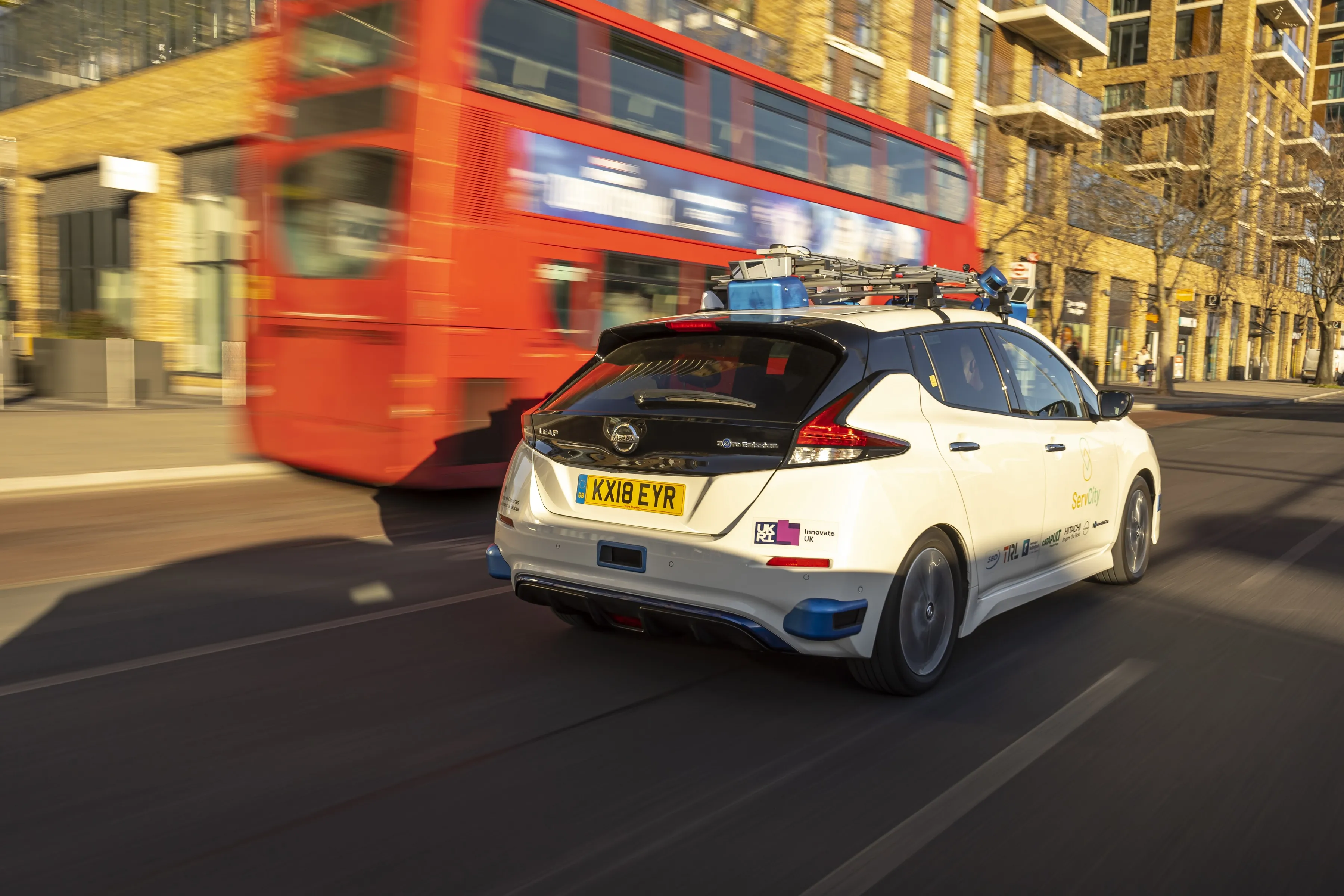
    ServCity trial demonstrated possibilities on receiving live data from existing road network
  • TM 2.0 boost TMC data feed and driver influence
    November 15, 2017
    TM 2.0 views connected vehicles and V2I as two-way communications channels, benefitting traffic management and drivers, as Alan Dron discovers. As connected vehicles are progressively rolled out there will come a point at which traffic managers and traffic management centres (TMCs) will have to gear up to cope with a rapidly-evolving road scenario. The TM 2.0 Platform (see box) is promoting a concept of new-generation traffic management (which carries the same TM 2.0 title) and is studying how future T
  • Peachtree trials smart traffic signal app
    March 4, 2022
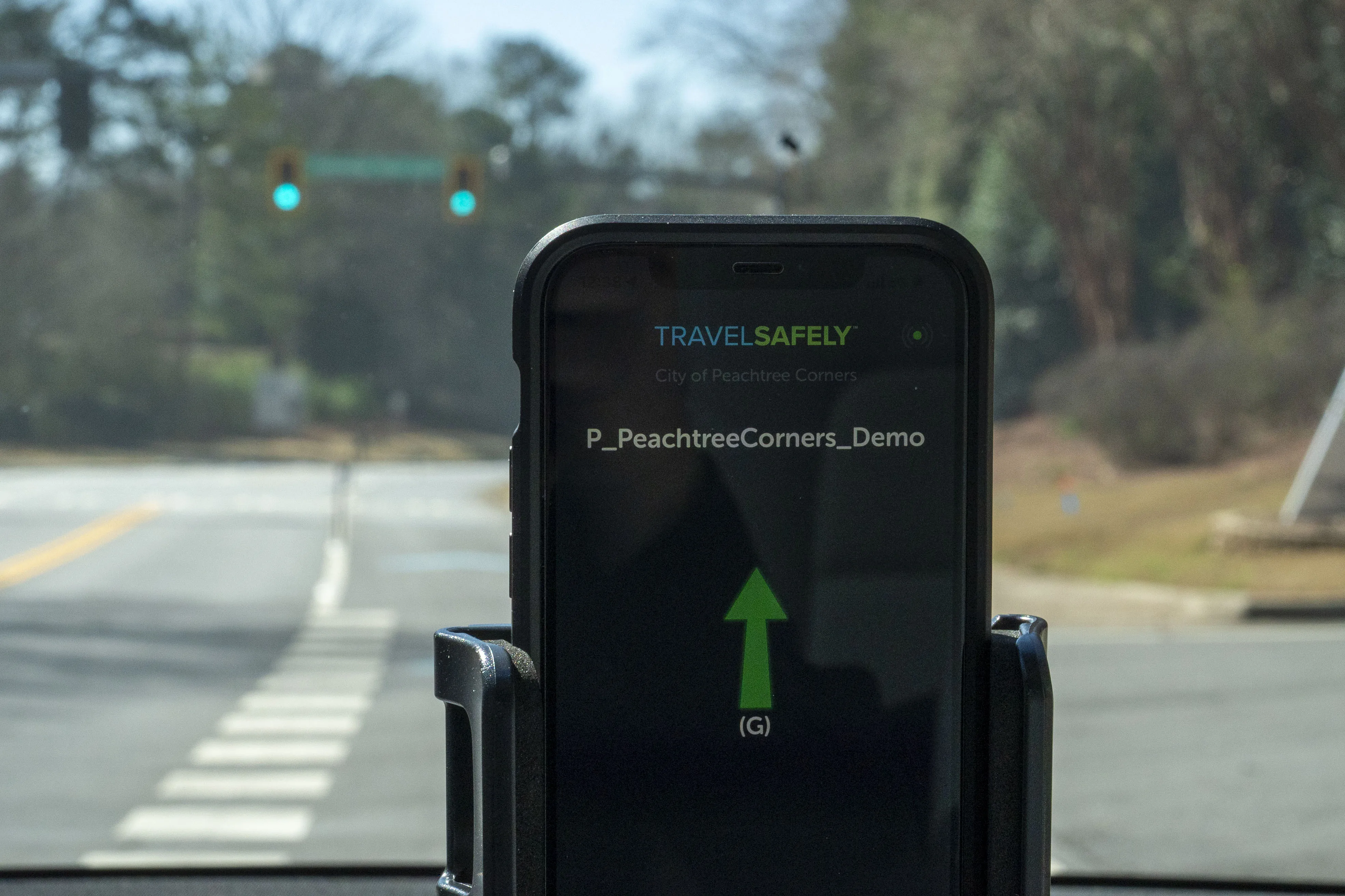
    TravelSafely provides audible warnings to drivers about potential red-light running