
Hawaii DoT begins issuing driver speed warnings

10 intersections already have red-light running detection in downtown Honolulu
By Adam Hill March 13, 2025 Read time: 2 mins
Honolulu morning traffic heads towards Vineyard Boulevard (© Mollynz | Dreamstime.com)

Hawaii Department of Transportation (HDoT) has begun issuing warnings from speed cameras at 10 intersections in downtown Honolulu.

Cameras at these intersections have been issuing citations for red-light running since November 2022 - and this has seen a 69% reduction in major crashes, HDoT says. Adding speed enforcement is designed to improve safety there.

“Speed is a crucial factor in whether or not someone will survive a car crash,” said HDoT director Ed Sniffen. “Although statistics show nearly half of the traffic deaths in Hawaii over the past five years are directly attributable to speed, we know through physics that the higher the collision speed the more serious the injury. If motorists drive at appropriate speeds, we can reduce crashes and keep vulnerable users like pedestrians and bicyclists safe.”

The warnings will continue until 29 April, for the purposes of driver education, after which fines will start to be issued.

Incidents are captured by the system as still images and a 12-second video, and that data is transferred to a processing centre for preliminary screening.

A local reviewer checks the images, data and speed to determine a violation, which are mailed within 10 days of the initial incident.

The vehicle's registered owner can review the data on the online portal after receiving the posted citation in the mail.

Fines will be deposited into a fund which can only be used for "the establishment, implementation, operation, oversight, repair and maintenance of the safety camera systems". 

The intersections are:

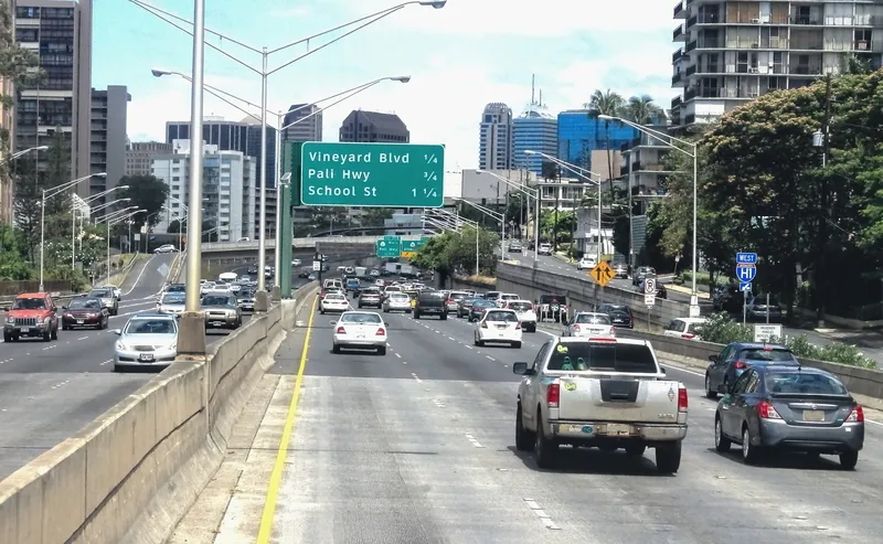
Vineyard Boulevard and Pālama Street
Vineyard Boulevard and Liliha Street
Vineyard Boulevard and Nu‘uanu Avenue
Pali Highway and Vineyard Boulevard
Pali Highway and North School Street
Likelike Highway and North School Street
Ward Avenue and South King Street
Kapi‘olani Boulevard and Kamake‘e Street
South Beretania Street and Pi‘ikoi Street
McCully Street and Algaroba Street

For more information on companies in this article

Related Content

  • High-res traffic data provides planners with the big picture
    November 5, 2015
    Road authorities have a lot to gain from high-resolution traffic data, argues Pravin Varaiya. Traffic engineers have traditionally been forced to operate with limited data regarding the performance of their arterials. Traffic studies are often commissioned once every three years, over a few days, to get an updated estimate of utilization.
  • Lane departure warning, blind spot detection help drivers avoid trouble, say researchers
    September 7, 2017
    According to new research from the US Insurance Institute for Highway Safety (IIHS), lane departure warning, a technology designed to address an often-fatal type of crash, is preventing crashes on US roads. A separate study shows that blind spot detection also is yielding benefits when it comes to preventing lane-change crashes.
  • USDOT to launch nationwide safety assessment of key bike/pedestrian routes
    September 11, 2014
    US transportation secretary Anthony Foxx has announced a new initiative to reduce the growing number of pedestrian and bicyclist injuries and fatalities through a comprehensive approach that addresses infrastructure safety, education, vehicle safety and data collection. Injuries and fatalities of pedestrian and people bicycling have steadily increased since 2009, at a rate higher than motor vehicle fatalities. From 2011 to 2012, pedestrian deaths rose six per cent and bicyclist fatalities went up almost s
  • Wireless sensor data is saving lives, says Sensys Networks
    September 7, 2020
    ITS World Congress provides a unique opportunity to examine the latest innovative uses of traffic technology. One trend is the increased use of detection data - presence, volume, occupancy, and speed - to power dynamic information for drivers. And the benefits of this data go well beyond traffic information within mapping and navigation systems that are used by motorists to get to their destinations efficiently. This data can help save lives.