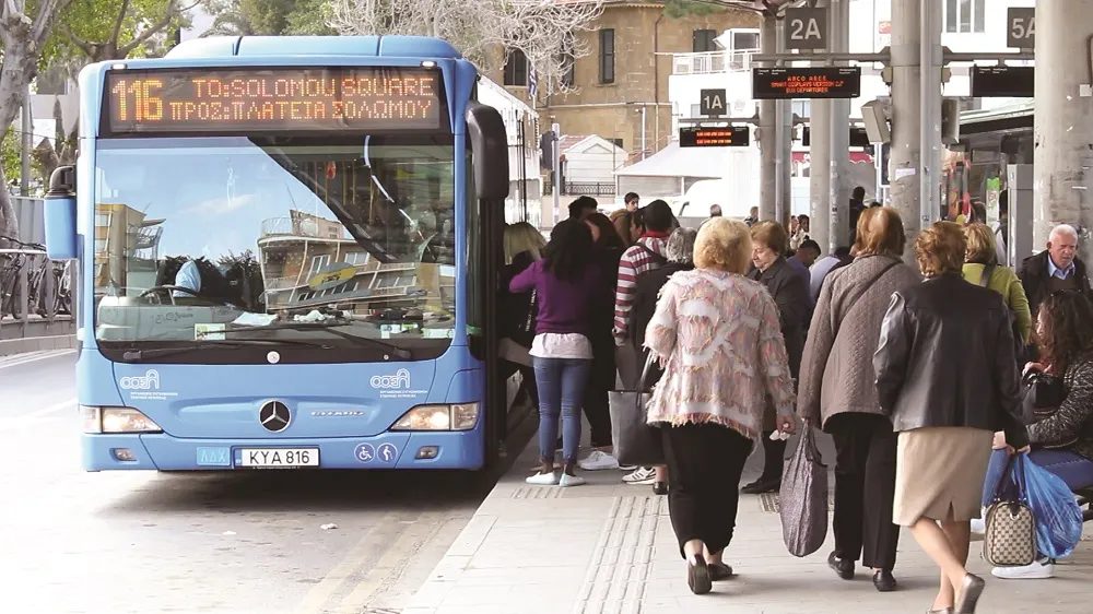
GMV develops app to inform travellers of bus status in real time

GMV has developed the Toledo Bus app to provide users with real time information of the City’s urban transport network. It is part of a plan carried out by Unauto in collaboration with GMV to modernize the public bus fleet. Users can locate the different lines and stops around their current location or any others that are manually entered from the main window of the app after enabling the geolocation permission of the terminal. The 'how to get there' feature reveals the shortest route between two locations
November 22, 2017 Read time: 2 mins

55 GMV has developed the Toledo Bus app to provide users with real time information of the City’s urban transport network. It is part of a plan carried out by Unauto in collaboration with GMV to modernize the public bus fleet.

Users can locate the different lines and stops around their current location or any others that are manually entered from the main window of the app after enabling the geolocation permission of the terminal. The 'how to get there' feature reveals the shortest route between two locations and is planned through Google maps.

Additionally, the application shows information related to the different lines, routes and bus stops that make up the topology of the urban transport in the city and provides real time information of the estimated times of passage by the stop. This temporary information will also be shown in the 93 information panels that GMV will provide as part of the scope of the project; the panel locations are currently being defined by the city of Toledo itself.

Based on the frequency of use, the user can select favourites or more stops to facilitate future searches.

The rest of the additional information related to the city is available and updated through the website of the city of Toledo, which can be launched from the main window of the app.

Related Content

  • August 29, 2019
    Tech advances create MaaS without compromise
    Advances in technology make it possible for authorities to compile and maintain MaaS platforms cheaply - and without relinquishing control to third parties. Colin Sowman finds out more… It is increasingly clear that local authorities’ reluctance to implement Mobility as a Service (MaaS) is based on politics and finance. However, the technology underpinning MaaS is evolving rapidly and is presenting new solutions. At its heart, the political resistance comes down to the divide between the ethos of public
  • October 5, 2016
    New Zealand seeks comprehensive CBA framework
    New report highlights how assessing the financial benefit of deploying ITS is an involved and evolving calculation Following a global search, five key action areas have emerged from the New Zealand Transport Agency’s recent scoping of a more comprehensive cost–benefit analysis framework for evaluating planned ITS deployments. A report commissioned from engineering consultancy Aecom New Zealand sets out the groundwork for more closely-defined assessments that will convincingly support public-sector policy ma
  • September 19, 2017
    Michigan fosters real-world testing of workzone ITS
    Turning a ‘problem’ into ‘an opportunity’ is the mantra of just about every business book and Michigan Department of Transportation (MDoT) looks set to achieve that aim in Oakland County, where 29km (18 miles) of the I-75 needs to be reconstructed. Running north-northwest from Detroit, the I-75 carries around 170,000 vehicles per day but, being built in the 1970s, it now requires an additional lane in each direction and upgrading to the latest design and safety standards. Upgrading will be carried out in
  • August 8, 2018
    Mobilising data for the future of urban transport
    It's not just gathering the data that's important, says Johan Herrlin - it's making sure that transport organisations share it with one another that will determine travellers' satisfaction. Data is transforming the way we move around cities, from family car journeys to the daily train commute. Gone are the days when travelling from A to B meant remembering your AA map and having to ask for directions at regular intervals. If you were trying to navigate London as a tourist a mere decade ago, it required