GMV develops app to inform travellers of bus status in real time

GMV has developed the Toledo Bus app to provide users with real time information of the City’s urban transport network. It is part of a plan carried out by Unauto in collaboration with GMV to modernize the public bus fleet. Users can locate the different lines and stops around their current location or any others that are manually entered from the main window of the app after enabling the geolocation permission of the terminal. The 'how to get there' feature reveals the shortest route between two locations
November 22, 2017 Read time: 2 mins

55 GMV has developed the Toledo Bus app to provide users with real time information of the City’s urban transport network. It is part of a plan carried out by Unauto in collaboration with GMV to modernize the public bus fleet.

Users can locate the different lines and stops around their current location or any others that are manually entered from the main window of the app after enabling the geolocation permission of the terminal. The 'how to get there' feature reveals the shortest route between two locations and is planned through Google maps.

Additionally, the application shows information related to the different lines, routes and bus stops that make up the topology of the urban transport in the city and provides real time information of the estimated times of passage by the stop. This temporary information will also be shown in the 93 information panels that GMV will provide as part of the scope of the project; the panel locations are currently being defined by the city of Toledo itself.

Based on the frequency of use, the user can select favourites or more stops to facilitate future searches.

The rest of the additional information related to the city is available and updated through the website of the city of Toledo, which can be launched from the main window of the app.

For more information on companies in this article

Related Content

  • Costing transit is complicated case
    August 19, 2015
    David Crawford welcomes fresh thinking from Canada. Public transit improvements can bring society “significantly more value” than conventional transport models normally indicate, argues Canadian researcher Todd Litman. “Traditional evaluation practices originally developed to assess roadway improvements, and focus primarily on vehicle travel speeds and operating costs. “They do not generally quantify or monetise basic mobility benefits, vehicle ownership and parking cost savings, or efficient land developme
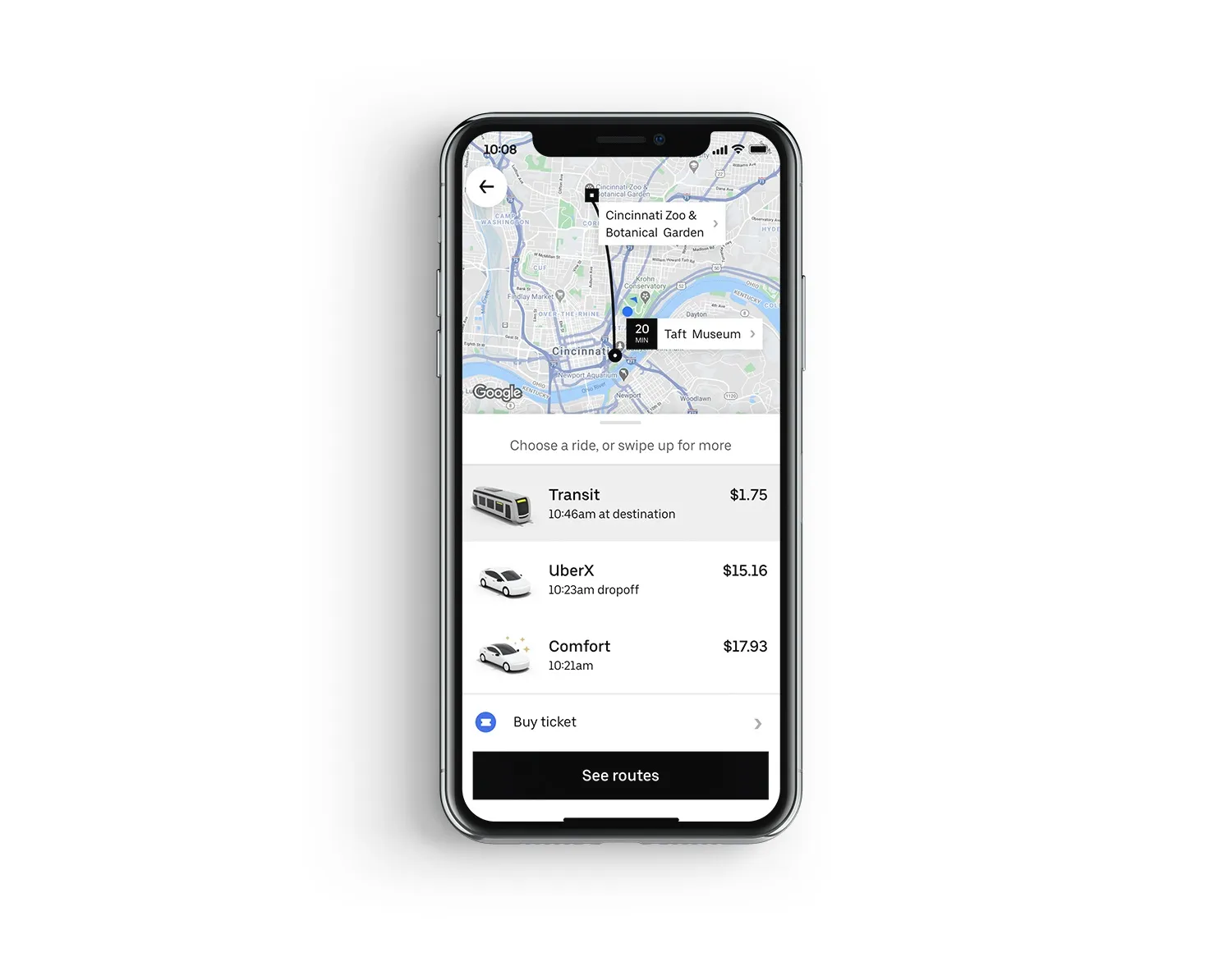
  • Uber app now includes US public transit agencies
    July 17, 2020
    The ride-hailing app's users are able to buy journey tickets in Ohio and Kentucky
  • Anywhere card delivers prepaid contactless ticketing
    January 25, 2012
    David Crawford investigates a far reaching initiative in integrated travel. The Port Authority Transit Corporation (PATCO), an operator of high speed commuter rail in the north eastern US, is not one of the world's best known transit providers. Its 13 stations along a single east-west route (three of them interchanges with other regional commuter lines) handle 40,000 passengers a day, travelling to and from Philadelphia, the US' fifth most populous city.
  • Panasonic in Colorado: Rocky mountain way
    December 3, 2018
    Panasonic is at the heart of a C-V2X project which began last year in Colorado. The company’s smart mobility boss Chris Armstrong tells Adam Hill how it is working out Colorado needs traffic and transport solutions – and fast. The US state’s population has grown 50% in the last 20 years and another 50% hike is predicted in the next 20. It also spends more than $13 billion in roadway crash costs each year. In 2015, 546 people died in traffic-related crashes, and more than 3,000 were seriously injured.