GMV develops app to inform travellers of bus status in real time

GMV has developed the Toledo Bus app to provide users with real time information of the City’s urban transport network. It is part of a plan carried out by Unauto in collaboration with GMV to modernize the public bus fleet. Users can locate the different lines and stops around their current location or any others that are manually entered from the main window of the app after enabling the geolocation permission of the terminal. The 'how to get there' feature reveals the shortest route between two locations
November 22, 2017 Read time: 2 mins

55 GMV has developed the Toledo Bus app to provide users with real time information of the City’s urban transport network. It is part of a plan carried out by Unauto in collaboration with GMV to modernize the public bus fleet.

Users can locate the different lines and stops around their current location or any others that are manually entered from the main window of the app after enabling the geolocation permission of the terminal. The 'how to get there' feature reveals the shortest route between two locations and is planned through Google maps.

Additionally, the application shows information related to the different lines, routes and bus stops that make up the topology of the urban transport in the city and provides real time information of the estimated times of passage by the stop. This temporary information will also be shown in the 93 information panels that GMV will provide as part of the scope of the project; the panel locations are currently being defined by the city of Toledo itself.

Based on the frequency of use, the user can select favourites or more stops to facilitate future searches.

The rest of the additional information related to the city is available and updated through the website of the city of Toledo, which can be launched from the main window of the app.

For more information on companies in this article

Related Content

  • Vehicle probe data aids emergency rescue vehicle routing
    June 20, 2012
    A new vehicle routeing initiative has arisen to help improve emergency response and relief following natural disasters in Japan. David Crawford reports Japan’s national ITS group ITS Japan and the country’s leading automotives have agreed on a new combined approach to the organisation of traffic management and emergency response in the wake of major natural disasters. A new, robust traffic information platform using probe data obtained from vehicles to support traffic flow will build on the shared experienc
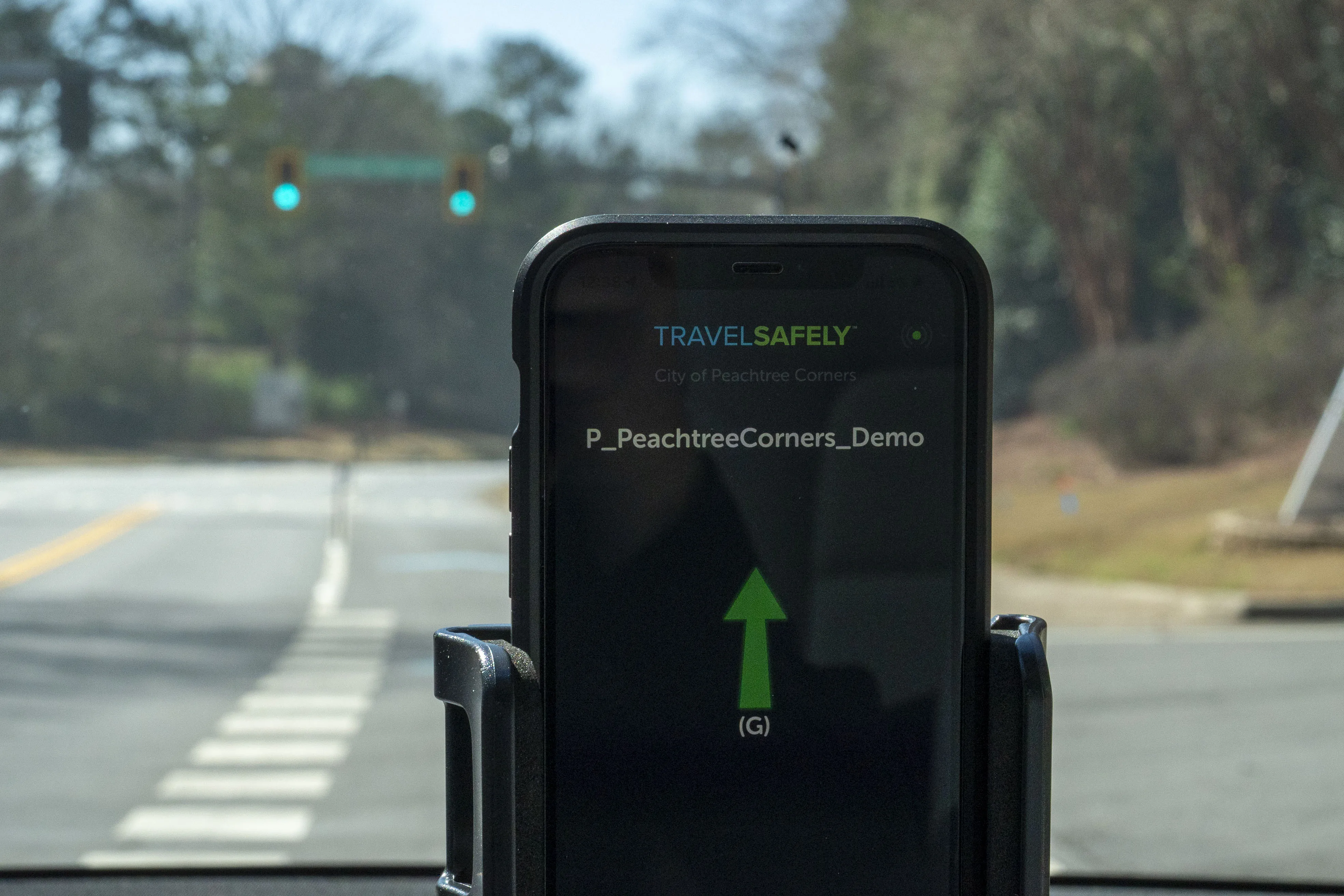
  • Peachtree trials smart traffic signal app
    March 4, 2022
    TravelSafely provides audible warnings to drivers about potential red-light running
  • Communication: the future of machine vision
    May 30, 2013
    Jason Barnes asks leading machine vision industry figures what they consider to be the educational barriers to the technology’s increased uptake by the ITS sector. The recent rush by some organisations within the ITS sector to associate themselves with the term ‘machine vision’ underlines just how important the technology has become in a relatively short space of time. However, despite the technology having been applied in certain traffic management applications for some years, there remains a significant s
  • Paragon’s latest software aids low bridge avoidance
    November 6, 2012
    UK-headquartered Paragon Software Systems has developed a low bridge avoidance mapping option for all UK versions of its routing and scheduling optimisation software. The optional Navteq mapping functionality eliminates the need to enter bridge height data manually into Paragon, simplifying and streamlining the creation of cost-effective, feasible transport plans that enable high vehicles to avoid low bridges on British roads. Users can enter their own bridge height data if necessary, but with this new opti