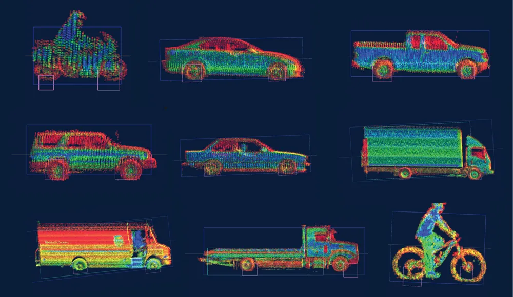
According to Cambridge start-up GeoSpock, the use of geospatial data would improve driving and the scheduling of delivery van journeys would reduce congestion and accidents on high streets and cut fuel use.
These are among the geospatial applications to be facilitated by a different type of database developed by the company, which uses knowledge of how the brain stores, manages and retrieves information to offer a database capable of supporting the growing Internet of Things (IoT).
GeoSpock claims that live geospatial data and telematics are increasingly being used alongside customer data to improve fleet management. However the volume and speed of data movement required to support these applications is outstripping the capability of existing database technologies. GeoSpock is specifically designed for the storage, search and retrieval of geospatial data in real-time no matter how big it gets or how often it changes.
Steve Marsh, GeoSpock’s CEO, explains: “Big data is slow data unless it is managed correctly. A new generation of applications use time and place to deliver a customer service. By combining this dynamic data with historical information in real-time, companies are in a position to predict demand, manage services geographically and optimise their resources.
“However the current database technology used widely by enterprise is not designed to support these applications. Limited storage and processing ability means valuable information has a short lifetime before it is replaced by new data.”
GeoSpock has secured US$5.3 million Series A funding from a group of UK entrepreneurs which includes Cambridge Innovation Capital, Horizon Discovery Group, Dr Jonathan Milner, Parkwalk Funds and Sir Michael Marshall to bring its first product to market and has appointed Victor Christou of Cambridge Innovation Capital as a non-exec director.