Forum8 takes to the air to develop new maps

Japanese interactive 3D simulation and modelling software specialist Forum8 is showing its Micro Aerial Pilotless Scanning system (MAPSs) at the show.
October 6, 2015 Read time: 1 min

Japanese interactive 3D simulation and modelling software specialist 848 Forum8 is showing its Micro Aerial Pilotless Scanning system (MAPSs) at the show.

It demonstrated the mini-drone on Tuesday night at the Nouveau Stade Bordeaux, adjacent to the Exhibition Hall.  
MAPSs, which uses a small, remotely-piloted DJI Phantom 3 quadcopter, maps a predetermined area by flying via GPS waypoints. Forum8 describes it as a low-cost method of producing a range of Geo, GIS and 3D Interactive mapping products and city models.

Flight time is up to 10 minutes, depending on weather and battery capacity.

During that time, the cameras mounted on the drone take between 500-700 photographs, which are then processed by Mitto Design of the US.

The resulting imagery can be processed to create 3D point clouds, real-time interactive 3D virtual reality simulation models or digital terrain maps.

For more information on companies in this article

Related Content

  • Flexible, demand-based parking charges ease parking problems
    April 10, 2012
    Innovative parking initiatives on the US Pacific Coast. David Crawford reviews. Californian cities are leading the way in trialling new solutions to their endemic parking problems. According to Donald Shoup, a professor of urban planning at the University of California in Los Angeles, drivers looking for available spots can cause up to 74% of traffic congestion in downtown areas. One solution is variable, demand-responsive pricing of parking.
  • Utah Department of Transportation: How we’re using traffic analytics software
    February 4, 2025
    Our use of Iteris ClearGuide lets our traffic operations engineers interpret critical probe traffic data without the need for statisticians and software developers
  • Volocopter's VoloDrone lifts off
    October 14, 2021
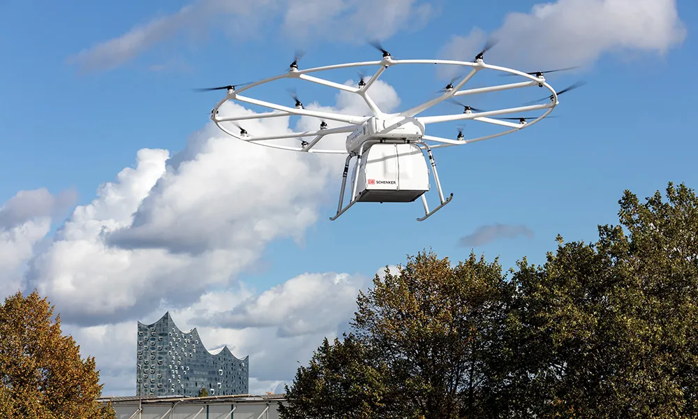
    Volocopter’s electric heavy-lift drone VoloDrone conducted its first public flight yesterday here at ITS World Congress Hamburg 2021. Together with the international logistics leader DB Schenker, Volocopter, a pioneer of urban air mobility (UAM), demonstrated VoloDrone’s seamless integration into the logistics supply chain with an end-to-end cargo transport demonstration