Forum8 takes to the air to develop new maps

Japanese interactive 3D simulation and modelling software specialist Forum8 is showing its Micro Aerial Pilotless Scanning system (MAPSs) at the show.
October 6, 2015 Read time: 1 min

Japanese interactive 3D simulation and modelling software specialist 848 Forum8 is showing its Micro Aerial Pilotless Scanning system (MAPSs) at the show.

It demonstrated the mini-drone on Tuesday night at the Nouveau Stade Bordeaux, adjacent to the Exhibition Hall.  
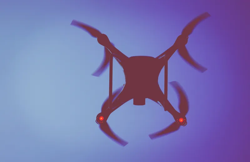
MAPSs, which uses a small, remotely-piloted DJI Phantom 3 quadcopter, maps a predetermined area by flying via GPS waypoints. Forum8 describes it as a low-cost method of producing a range of Geo, GIS and 3D Interactive mapping products and city models.

Flight time is up to 10 minutes, depending on weather and battery capacity.

During that time, the cameras mounted on the drone take between 500-700 photographs, which are then processed by Mitto Design of the US.

The resulting imagery can be processed to create 3D point clouds, real-time interactive 3D virtual reality simulation models or digital terrain maps.

For more information on companies in this article

Related Content

  • Glasgow’s new Operations Centre has a key role in city’s future
    June 6, 2014
    David Crawford investigates a control centre with a future. Destined to play a central role in keeping the city and its transport running smoothly during the 2014 Commonwealth Games in July, the new Glasgow Operations Centre in Scotland’s largest urban centre formally went live earlier this year. The aim was to dry run its far-reaching integration of previously distinct core systems and familiarise the public with the initial phase of what will be a long-term post-event legacy. The centre brings together, i
  • Progress of ICT transport research projects
    February 3, 2012
    Juhani Jääskeläinen, head of the ICT for Transport Unit, DG Information Society and Media, European Commission, details the results of Call 4 for research projects in ICT for transport. Since the closure of the call and evaluation process during the summer of last year the European Commission (EC) has been negotiating and signing contracts with projects which were selected from proposals submitted to Call 4 of the 7th Framework Programme (FP7) in the area of Information and Communication Technology (ICT) fo
  • Honeywell forms dedicated drone unit
    June 25, 2020
    Products to be developed include a fly-by-wire autopilot system
  • Here launches Digital Transportation Infrastructure platform
    October 6, 2015
    Here, a leader in navigation, mapping and location experiences, is launching a new platform called Digital Transportation Infrastructure that provides cost-effective, interoperable analytical software and E2E integration services for Cooperative Intelligent Transportation (C-ITS). That new platform is a main showcase for the company here at the ITS World Congress.