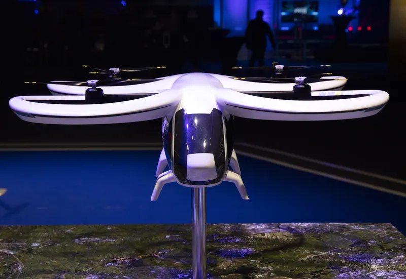
Forum8 takes to the air to develop new maps

Japanese interactive 3D simulation and modelling software specialist Forum8 is showing its Micro Aerial Pilotless Scanning system (MAPSs) at the show.
October 6, 2015 Read time: 1 min

Japanese interactive 3D simulation and modelling software specialist 848 Forum8 is showing its Micro Aerial Pilotless Scanning system (MAPSs) at the show.

It demonstrated the mini-drone on Tuesday night at the Nouveau Stade Bordeaux, adjacent to the Exhibition Hall.  
MAPSs, which uses a small, remotely-piloted DJI Phantom 3 quadcopter, maps a predetermined area by flying via GPS waypoints. Forum8 describes it as a low-cost method of producing a range of Geo, GIS and 3D Interactive mapping products and city models.

Flight time is up to 10 minutes, depending on weather and battery capacity.

During that time, the cameras mounted on the drone take between 500-700 photographs, which are then processed by Mitto Design of the US.

The resulting imagery can be processed to create 3D point clouds, real-time interactive 3D virtual reality simulation models or digital terrain maps.

For more information on companies in this article

Related Content

  • Amsterdam Drone Week 2023: prep for take-off
    February 6, 2023
    The fifth edition of the event takes place at RAI Amsterdam from 21-23 March 2023
  • Multi-platform mapping with Robin
    May 24, 2016
    3D Laser Mapping’s new multi-platform mapping system, Robin, provides three alternative mapping options in one solution, allowing users to benefit from the ability to map areas via walking, driving or flying. Robin integrates a 12 MP camera (for drive) and 18MP (for walk and fly), two GNSS antennas, GIS grade IMU navigation system, touch screen control unit, three mounting systems, capture software, a post-processing software package and has a field of view of 330 degrees. Long-range and precision versi
  • NASA drone traffic management tests take off in Reno
    May 30, 2017
    NASA and its partners are in the midst of testing the next, more complex version of its unmanned aircraft systems (UAS) traffic management (UTM) technologies with live, remotely-operated aircraft, or drones, at six different sites around the US.
  • Ford developing complete virtual factory
    August 2, 2012
    Ford is developing a complete virtual factory to simulate the full assembly line production process. The company says this will enable it to improve quality and cut costs in real world manufacturing facilities by creating and analysing computer simulations of vehicle production procedures.