Forum8 takes to the air to develop new maps

Japanese interactive 3D simulation and modelling software specialist Forum8 is showing its Micro Aerial Pilotless Scanning system (MAPSs) at the show.
October 6, 2015 Read time: 1 min

Japanese interactive 3D simulation and modelling software specialist 848 Forum8 is showing its Micro Aerial Pilotless Scanning system (MAPSs) at the show.

It demonstrated the mini-drone on Tuesday night at the Nouveau Stade Bordeaux, adjacent to the Exhibition Hall.  
MAPSs, which uses a small, remotely-piloted DJI Phantom 3 quadcopter, maps a predetermined area by flying via GPS waypoints. Forum8 describes it as a low-cost method of producing a range of Geo, GIS and 3D Interactive mapping products and city models.

Flight time is up to 10 minutes, depending on weather and battery capacity.

During that time, the cameras mounted on the drone take between 500-700 photographs, which are then processed by Mitto Design of the US.

The resulting imagery can be processed to create 3D point clouds, real-time interactive 3D virtual reality simulation models or digital terrain maps.

For more information on companies in this article

Related Content

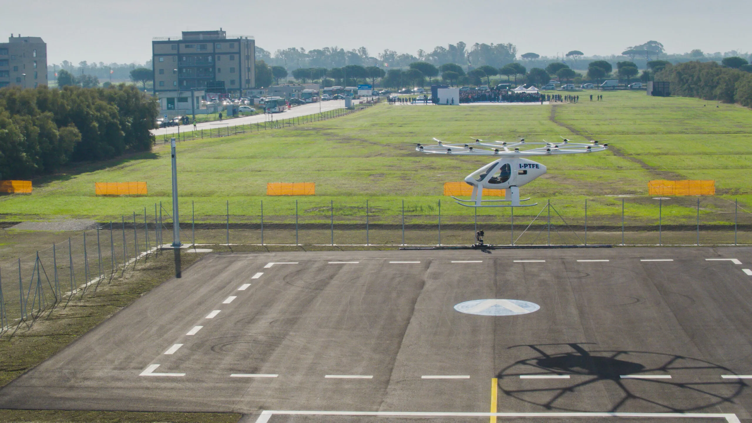
  • Volocopter says 'ciao' to Italy
    October 10, 2022
    UAM group initiates operations in country's first vertiport at Rome's Leonardo da Vinci Airport
  • Developments in travel information display systems
    August 1, 2012
    David Crawford looks at recent developments in travel information display systems. It is important to remember that we are investing in Real-Time Passenger Information [RTPI] to increase ridership," says Robert Burke, Managing Director of New Zealand transit tracking technology specialist Connexionz, which has been involved in at-stop and remote passenger information since 1995. "Superior information improves the perception of public transport reliability and gives the passenger more choices and greater con
  • Toyota developing new map generation system
    December 24, 2015
    To aid the safe implementation of automated driving, Toyota is developing a high-precision map generation system that will use data from on-board cameras and GPS devices installed in production vehicles. The new system will go on display at CES (Consumer Electronics Show) 2016 in Las Vegas from 6-9 January.
  • Cellint measures speed and travel time without roadside infrastructure
    April 10, 2014
    Collecting speed and travel time data without using roadside infrastructure could offer new possibilities to cash-strapped road authorities. Streaming video may be useful for traffic controllers to monitor incidents and automatic number plate recognition may be required for enforcement, but neither are necessary for many ITS functions. For instance travel times, tailbacks, percentage of vehicles turning, origin and destination analysis can all be done using Bluetooth and/or WI-Fi sensors and without video o