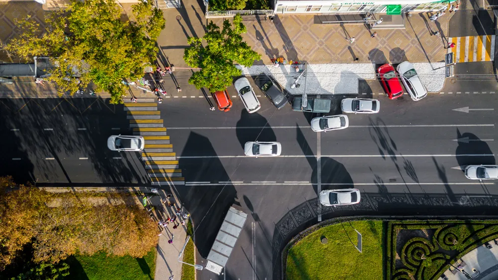
Forum8 takes to the air to develop new maps

Japanese interactive 3D simulation and modelling software specialist Forum8 is showing its Micro Aerial Pilotless Scanning system (MAPSs) at the show.
October 6, 2015 Read time: 1 min

Japanese interactive 3D simulation and modelling software specialist 848 Forum8 is showing its Micro Aerial Pilotless Scanning system (MAPSs) at the show.

It demonstrated the mini-drone on Tuesday night at the Nouveau Stade Bordeaux, adjacent to the Exhibition Hall.  
MAPSs, which uses a small, remotely-piloted DJI Phantom 3 quadcopter, maps a predetermined area by flying via GPS waypoints. Forum8 describes it as a low-cost method of producing a range of Geo, GIS and 3D Interactive mapping products and city models.

Flight time is up to 10 minutes, depending on weather and battery capacity.

During that time, the cameras mounted on the drone take between 500-700 photographs, which are then processed by Mitto Design of the US.

The resulting imagery can be processed to create 3D point clouds, real-time interactive 3D virtual reality simulation models or digital terrain maps.

Related Content

  • January 11, 2013
    New approach to data handling aids development of smarter cities
    David Crawford has been to the Irish capital to see a potent memorandum of understanding at work. An imaginative collaboration between the world’s largest IT company and one of Europe’s smaller capital cities is demonstrating a new approach to data handling that could have far reaching implications for urban public transport worldwide. A close working relationship between IBM and Dublin City Council (DCC) dates from 2010. The IT giant was looking for a local transport authority as partner for testing IBM’s
  • December 16, 2020
    Drones make Soarizon watcher of the skies
    Getting a close view of where traffic problems are occurring is one of the main selling points of the ITS vision industry. Soarizon is doing things differently, Benjamin Orcan tells Adam Hill
  • September 19, 2017
    New services and equipment helps cities tackle air quality issues
    With poor urban air quality shortening lives and fines being imposed for breaching pollution limits, authorities are seeking ways to clean up their cities. Poor air quality is topping the agenda for city authorities across the globe. In the UK, for example, a report from the Royal Colleges of Physicians and of Paediatrics and Child Health, concluded that poor outdoor air quality shortens the lives of around 40,000 people a year – principally by undermining the health of people with heart and/or lung prob
  • March 19, 2015
    Car parking and parked cars need not be a technological black hole
    David Crawford mines the potential of joined-up parking. Drivers conventionally see parking as an isolated, often frustrating, action; but collectively their attempts to find a space impact hugely on traffic flows. But new analyses of parking events look set to deliver real benefits to motorists and cities alike. Initiatives getting under way around the world are highlighting the advantages of connecting up parking events and – eventually - parked cars. The hoped-for results include not only enhanced urban