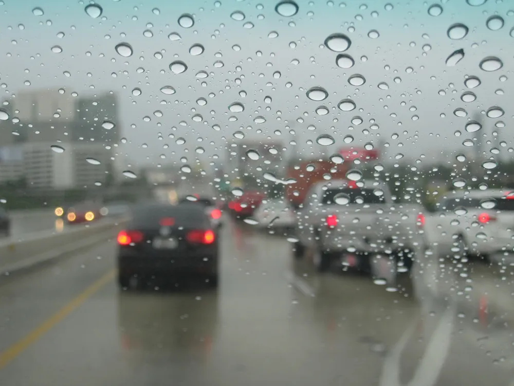
Automaker Ford has said it is developing technology which detects the presence of potholes and alerts drivers to their location.
Engineers at the Ford Research and Innovation Centre in Aachen, Germany, are experimenting with a crowd-sourced virtual pothole map, with testing due to start later this year. The map would show drivers, in real-time, on in-car displays, where potholes are, how bad they are and suggest alternative routes.
“A virtual pothole map could highlight a new pothole the minute it ap
Automaker 278 Ford has said it is developing technology which detects the presence of potholes and alerts drivers to their location.
Engineers at the Ford Research and Innovation Centre in Aachen, Germany, are experimenting with a crowd-sourced virtual pothole map, with testing due to start later this year. The map would show drivers, in real-time, on in-car displays, where potholes are, how bad they are and suggest alternative routes.
“A virtual pothole map could highlight a new pothole the minute it appears and almost immediately warn other drivers that there is a hazard ahead,” said research engineer Uwe Hoffmann, who is leading the project. “Our cars already feature sensors that detect potholes and now we are looking at taking this to the next level.”
Ford Galaxy, Mondeo and S-MAX vehicles already use on-board sensors for continuously controlled damping with pothole mitigation that detects potholes using sensors and adjusts the suspension to help reduce any potential damage.
Ford engineers are now researching using cameras and embedded modems; together, these technologies would gather detailed information on the potholes and beam it to the cloud, where it can be made available to other drivers in real time.
Further research is also exploring the use of an active suspension system designed to reduce the severity of bumps and rough road surfaces.