Flir launches TrafiOne Smart City Sensor

Flir Systems is launching the Flir TrafiOne Smart City Sensor, an all-round detection sensor for traffic monitoring and dynamic traffic signal control. Offered in a compact and easy-to-install package, the system uses thermal imaging and Wi-Fi technology to provide traffic engineers with high-resolution data on vehicles, bicycles and pedestrians at intersections and in urban environments. The Flir TrafiOne sensor uses thermal imaging to detect the presence of pedestrians and cyclists who are approaching or
June 13, 2016 Read time: 2 mins
Farid Semmahi of Control Technologies

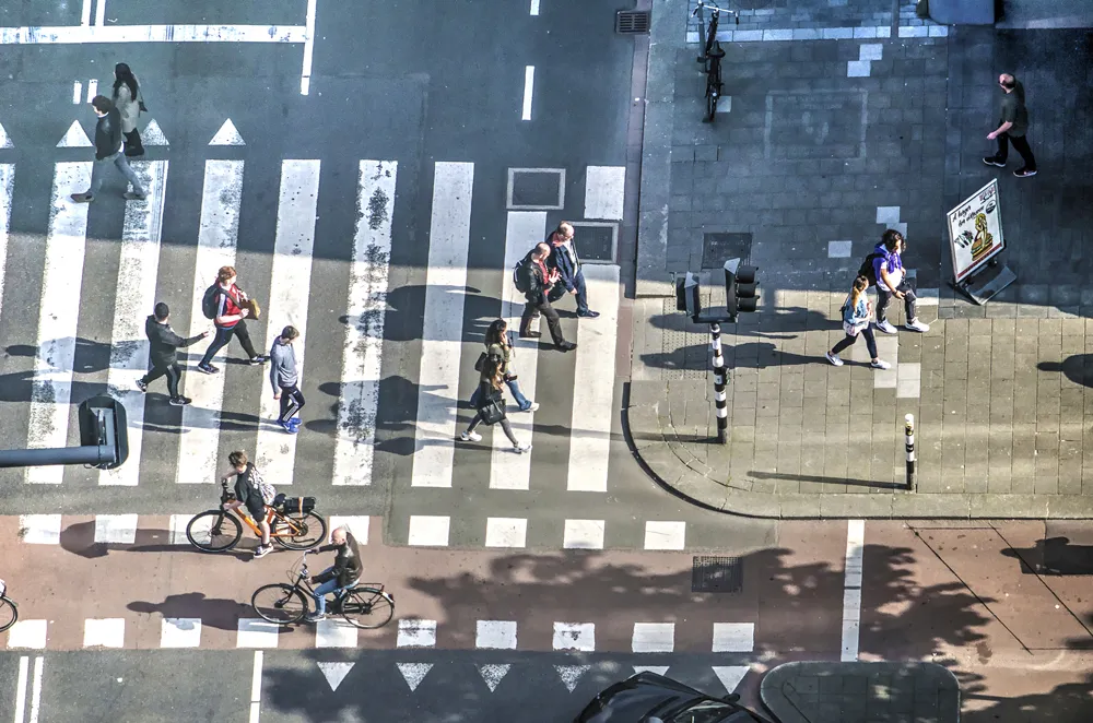
6778 Flir Systems is launching the Flir TrafiOne Smart City Sensor, an all-round detection sensor for traffic monitoring and dynamic traffic signal control. Offered in a compact and easy-to-install package, the system uses thermal imaging and Wi-Fi technology to provide traffic engineers with high-resolution data on vehicles, bicycles and pedestrians at intersections and in urban environments.

The Flir TrafiOne sensor uses thermal imaging to detect the presence of pedestrians and cyclists who are approaching or waiting at the curbside or who are actually walking on a street crossing. Thermal imaging sensors can see in total darkness, through shadows and sun glare, which helps provide reliable traffic detection 24/7. The TrafiOne can even be combined with rapid flashing beacons to help warn approaching drivers that a pedestrian is present in a mid-block intersection.

Optional Wi-Fi technology can be used to capture traffic flow data and by monitoring Wi-Fi Mac addresses of devices such as smartphones, TrafiOne can determine travel and route times along road segments.

Via Wi-Fi signal strength information the device can also measure queue delay times at intersections. “Flir TrafiOne will help traffic engineers to improve traffic flows in the city in unseen ways,” says Stefaan Pinck, vice-President worldwide ITS Sales at Flir. “Through data collected by the TrafiOne sensor, they will be able to adapt traffic signal schemes, reduce vehicle idling time, monitor congestion, enhance safety for vulnerable road users and measure travel and delay times for different transport modes.”

The information collected by TrafiOne can be accessed for further analysis by Flir’s cloudbased analysis platform. Smart analytics transform the data into useful traffic insights, which are critical to understanding road network performance and to taking extra measures where and when they are needed.

For more information on companies in this article

Related Content

  • Cost benefit: Toronto retimings tame traffic trauma
    July 19, 2018
    Canada’s largest city reckons that it is saving its taxpayers’ money simply by altering the way traffic lights work. David Crawford reviews Toronto’s ambitious plans to ease congestion Toronto, Canada’s largest metropolis (and the fourth largest in North America), has saved its residents CAN$53 (US$42.4) for every CAN$1 (US$0.80) spent over a 2012-2016 traffic signal retiming programme, according to figures released by its Transportation Services Division. The programme covered 1,275 signals (the city’s
  • Making cars safer for vulnerable road users
    June 2, 2016
    Richard Cuerden considers measures to improve the safety of vulnerable road users. The competitive nature of the car market has seen an increase in protection for those travelling inside the vehicle and this is reflected in the casualty statistics -but the same does not apply to those outside the vehicle. And with current societal trends such as ageing populations, an increasing number of pedestrians and cyclists encouraged by environmental policies, this is an area that authorities such as the European Uni
  • Artificial intelligence changes Idemia’s image
    May 13, 2021
    Idemia pledges to make life safer for VRUs with new products based around existing technology, Jean-Paul Baldacci tells Adam Hill
  • Highways Agency trials new traffic monitoring technology
    September 24, 2013
    The UK Highways Agency is trialling a system to add commercially available traffic data to its existing sources to monitor traffic flow on England’s motorways and strategic roads. Similar data sources are already used by satellite navigation devices, smartphones, and applications like Google maps. The system uses data that comes mostly from vehicle tracking devices installed by fleet operators, and a proportion from mobile sat-nav type devices, including smartphone traffic applications where the user has