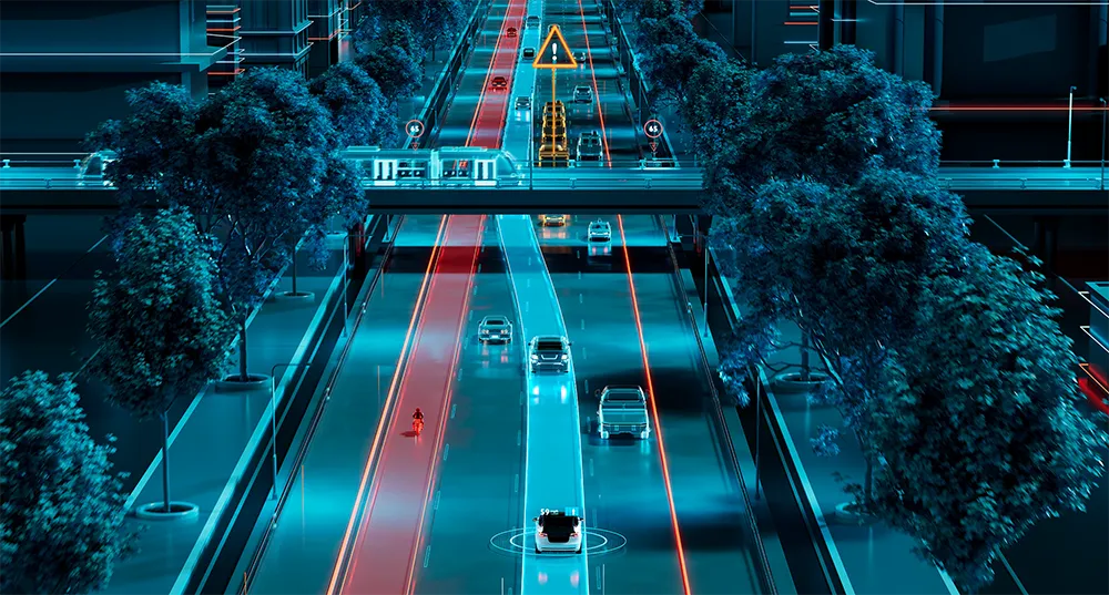
Researchers at the Swiss Federal Institute of Technology in Lausanne (EPFL) researchers have been studying futuristic transport solutions for car-free urban centres and have come up with an optimal design for a network of accelerating moving walkways.
This is not a new concept – the first moving walkways were seen in Chicago in 1893 and seven years later they were used at the world’s fair in Paris. They are also regularly used the world over in airports and transport terminals.
As part of the PostCarW
Researchers at the Swiss Federal Institute of Technology in Lausanne (EPFL) researchers have been studying futuristic transport solutions for car-free urban centres and have come up with an optimal design for a network of accelerating moving walkways.
This is not a new concept – the first moving walkways were seen in Chicago in 1893 and seven years later they were used at the world’s fair in Paris. They are also regularly used the world over in airports and transport terminals.
As part of the PostCarWorld initiative, which aims to explore the future of mobility both through the role of the car and without cars, EPFL researchers have analysed the feasibility of fast moving walkways in an urban setting, with encouraging results.
The team’s task consisted of imagining a world or a city without private cars in which space designed for automobile use could be repurposed. Individual transport needs would be met by a combination of conventional methods such as buses, metros, trams, taxis, bikes, etc., or by more innovative methods like bike- or car-sharing or urban cable cars. The EPFL’s Transport and Mobility Laboratory studied accelerating moving walkways, which can travel up to 15 km/h, the average speed at which people travel through most large cities during rush hour, to see if they could compete with other means of transport.
The researchers used real data from Geneva in developing their mathematical model, exploring various configurations of speed, acceleration, length and width, as well as intersections and entry and exit points.
They focused on the feasibility of a network of moving walkways and attempted to come up with the optimal design, taking into account the road network, demand, the speed required to make the system competitive, energy consumption and operational and budgetary constraints.
Their ideal network begins with a small ring around a car-free urban centre and extends out along primary roads on 47 different links equipped with 10 gates for a total length of 32 kilometres. There are 37 intersections where expressways would be set up using bridges or underpasses. A walkway can handle 7,000 passengers per hour, while a roadway can accommodate between 750 and 1,800 vehicles.
According to the report authors, electric moving walkways represent a sustainable and eco-friendly transport system and their operating cost is similar to that of buses. “The main downside is the cost of construction. It will cost about as much to install one line as to build a new tram line,” says lead author Riccardo Scarinci. “But the cost could drop if the system were installed on a large scale. That’s why a network of walkways only makes sense in dense and highly congested cities.”
Michel Bierlaire, the director of the Transport and Mobility Laboratory, commented, “This study proves that the concept is credible and that a car-less, pedestrian-centric city is conceivable. This is a useful starting point for urban planners to evaluate the feasibility of accelerating moving walkways.”