Esri software powers Lithuania project

The government of Lithuania has used Esri’s software to create a website – which went live this week - covering all of its transport network rather than simply one urban area. “It’s a multimodal journey planner for the whole country,” explains Terry C. Bills, Global Transportation Industry Manager at Esri. “So it’s a question of stitching together city systems with inter-city ones and pulling them together in a seamless way.”
October 8, 2015 Read time: 2 mins
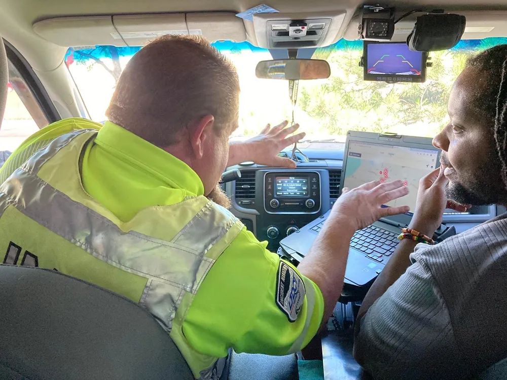
Ian Koeppel of Esri shows off the software

The government of Lithuania has used 50 Esri’s software to create a website – which went live this week - covering all of its transport network rather than simply one urban area.

“It’s a multimodal journey planner for the whole country,” explains Terry C. Bills, Global Transportation Industry Manager at Esri. “So it’s a question of stitching together city systems with inter-city ones and pulling them together in a seamless way.”

Geographic information system (GIS) platform provider Esri brings location and other data from various sources into a single user-facing site, incorporating such elements as weather (including potential hazards such as ice or snow), the availability of parking spaces or the location of long-term construction works alongside more obvious features such as real-time traffic speeds or camera feeds.

The California-based firm says its solutions are helping governments and local authorities to extol the virtues of public transport. As individual private car ownership creates issues such as congestion and pollution, public transit systems are keen to make – and publicise - other options available.

“Countries want to promote public transport usage,” says Ian Koeppel, Business Development Manager Transportation for Europe. “This information is critical to improving public transport utilisation.” The company’s platform has also recently been used in a similar website covering Helsinki’s transit system, combining information on road, rail and maritime modes.

For more information on companies in this article

Related Content

  • The AI revolution in transportation
    November 21, 2024
    Navigating the future of mobility means approaching AI as a powerful tool that, when wielded responsibly, can help us build transportation systems that truly serve people, says Alex Nesic
  • Helsinki integrates new bike-share program with public transportation system
    May 27, 2016
    As part of its overall plan to promote cycling, the Finnish capital Helsinki has introduced a public bike-share program that is linked seamlessly with the metropolitan area's multi-modal public transportation system. Launched at the beginning of May 2016 with 500 three-speed, adult-sized bikes and 50 docking throughout the inner city, the program will expand to 1,500 bikes, 150 stations and to further city districts in 2017. The Helsinki metropolitan area public transportation system incorporates a
  • Rekor: solving the data puzzle
    April 19, 2022
    AI can help transport agencies to deal with incidents on the road. Noam Maital of Rekor explains to Adam Hill how marrying up different types of data can be like putting together a 1,000-piece puzzle
  • Multi-modal transport system key to liveable city development
    June 20, 2012
    Malaysia’s Economic Transformation Programme aims to transform Kuala Lumpur into one of the world’s most liveable cities. Mohd Nur Kamal, CEO of SPAD, Malaysia’s Land Transport Commission, explains how a world class multi-modal transport system will be key to reaching that goal Superficially, Kuala Lumpur, or KL as it is commonly known, is the model of a vibrant, modern, cosmopolitan city to equal any in the world. The Petronas Twin Towers, an iconic global symbol of Malaysia, are surrounded by stunningly