
Esri software powers Lithuania project

The government of Lithuania has used Esri’s software to create a website – which went live this week - covering all of its transport network rather than simply one urban area. “It’s a multimodal journey planner for the whole country,” explains Terry C. Bills, Global Transportation Industry Manager at Esri. “So it’s a question of stitching together city systems with inter-city ones and pulling them together in a seamless way.”
October 8, 2015 Read time: 2 mins
Ian Koeppel of Esri shows off the software

The government of Lithuania has used 50 Esri’s software to create a website – which went live this week - covering all of its transport network rather than simply one urban area.

“It’s a multimodal journey planner for the whole country,” explains Terry C. Bills, Global Transportation Industry Manager at Esri. “So it’s a question of stitching together city systems with inter-city ones and pulling them together in a seamless way.”

Geographic information system (GIS) platform provider Esri brings location and other data from various sources into a single user-facing site, incorporating such elements as weather (including potential hazards such as ice or snow), the availability of parking spaces or the location of long-term construction works alongside more obvious features such as real-time traffic speeds or camera feeds.

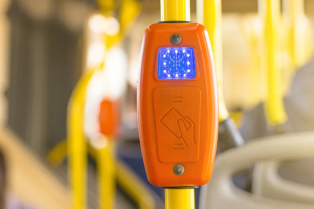
The California-based firm says its solutions are helping governments and local authorities to extol the virtues of public transport. As individual private car ownership creates issues such as congestion and pollution, public transit systems are keen to make – and publicise - other options available.

“Countries want to promote public transport usage,” says Ian Koeppel, Business Development Manager Transportation for Europe. “This information is critical to improving public transport utilisation.” The company’s platform has also recently been used in a similar website covering Helsinki’s transit system, combining information on road, rail and maritime modes.

For more information on companies in this article

Related Content

  • PTV simulates York’s future
    August 26, 2021
    PTV’s predictive software modelling is helping one of England’s historic cities to improve traffic flow
  • Investment boost for Canada’s weather warning systems
    August 5, 2013
    David Crawford reviews national and regional initiatives to boost Canada’s weather forecasting. Over the next five years Canada’s national weather services are due to benefit from a CAN$248 million injection of funding into the Environment Canada (EC) department to deliver timelier and more accurate weather warnings and forecasts for users including travellers and transport operators. The scheme, set out in the country’s 2013 Economic Action Plan, is to revitalise the services with new investments in federa
  • How public transit improves quality of life
    June 29, 2022
    There are various reasons why Mobility as a Service is catching on more in Europe than the US – but there are still other ways in which access to mobility can be improved across the states, finds Gordon Feller
  • No compromise on workzone safety
    January 14, 2022
    The National Work Zone Memorial is a sobering reminder of the dangers of working on US highways. More accurate and timely information can help reduce risks, explains One.network’s Simon Topp